Click to visit the main New York Public Library Homepage
The New York Public Library
Digital Collections
About Digital Collections
Browse
Search only public domain materials
Items
Collections
Divisions
Home
Search
Browse
About
Search only public domain materials
Items
Collections
Divisions
Digital Collections
Using Images
Using Data
Search
Filtered keyword search
Show filters
Hide filters
Show Only Public Domain
topic
Railroads
24
Administrative and political divisions
19
Canals
13
Coasts
6
Roads
6
More
Less
name
Connecticut. Commission on Boundary between the States of New York and Connecticut
5
G.W. & C.B. Colton & Co
5
New York (State), Commissioners on the New York and Connecticut Boundary
5
New York (State). Legislature. Senate
4
Richmond, Van Rensselaer, 1814?-
4
More
Less
collection
x
Maps of New York City and State
place
New York (State)
50
Connecticut
36
Vermont
18
New Jersey
17
Massachusetts
13
More
Less
genre
x
Maps
Road maps
2
Facsimiles
1
Geological maps
1
Manuscript maps
1
More
Less
publisher
The Commissioners
5
publisher not identified
5
G.W. & C.B. Colton & Co
4
New York State Board of Railroad Commissioners?
3
U.S. Coast Survey office
3
More
Less
division
Map Division
57
type
cartographic
57
Date Range
to
57 results found for:
x
Connecticut
Filtering on:
x
Genre
: Maps
x
Collection
: Maps of New York City and State
For more collection details, visit the
Maps of New York City and State collection page
.
Sort by:
Relevance
Title
Date created
Date digitized
Sequence
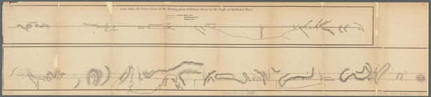
… York &
Connecticut
note:
… and parts of
Connecticut
Diagram showing the relative …
note:
… and parts of
Connecticut
m
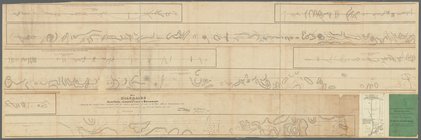
Diagrams of the New-York and
Connecticut
note:
… and parts of
Connecticut
Diagrams of the New-York and
Connecticut
note:
… and
Connecticut
boundary, made
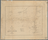
Map of Byram River from its m…
m
… of
Connecticut
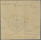
Map of the meetings constitut…
m
… of
Connecticut
, New York and New
note:
… and the shorelines of
Connecticut
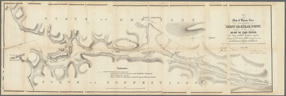
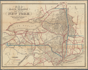
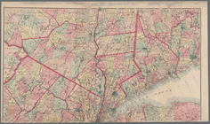
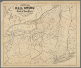
Map of the rail roads of the …
note:
… and
Connecticut
, substantial
m
… of
Connecticut
.
Map of the meetings constitut…
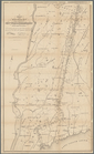
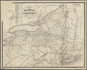
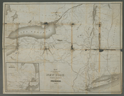
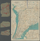
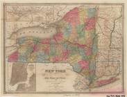
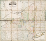
Map of New York
note:
Covers most of Vermont and
Connecticut
Van Der Donck's map of New Ne…
note:
…, and
Connecticut
.
Map of water shed of Housaton…
m
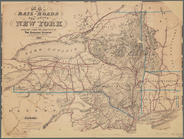
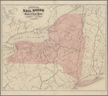
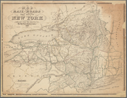
Map of the rail-roads of the …
note:
…,
Connecticut
, and northern
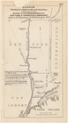
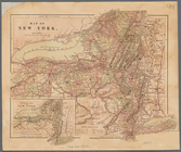
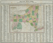
Map of the state of New York:…
abstract:
Covers all of Vermont and
Connecticut
Road map of Westchester Co., …
Map of the rail-roads of the …
Map of the rail-roads of the …
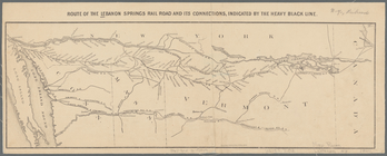
Route of the Lebanon Springs …
note:
…, and
Connecticut
, and southern
Rand Mcnally official detaile…
Map of the state of New York …
note:
Also cover Vermont,
Connecticut
, and part of New
Map of the rail roads of the …
abstract:
… and
Connecticut
, substantial
Map of the rail roads of the …
note:
… and
Connecticut
, substantial
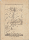
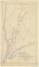
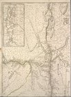
Middle part of Long Island So…
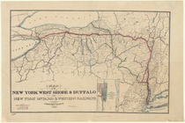
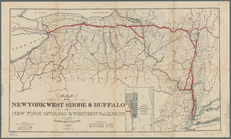
Map of the New York West Shor…
note:
… of
Connecticut
, New Jersey
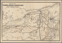
Map of the Fitchburg, Cheshir…
note:
… and
Connecticut
, portions of Maine
m
Eastern part of Long Island S…
Map of New-York : on the impr…
note:
…, of the State of
Connecticut
."…
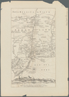
A new and accurate map of the…
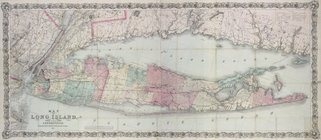
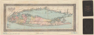
Travellers map of Long Island
note:
… of
Connecticut
.
Map of the New York West Shor…
note:
… of
Connecticut
, New Jersey
m
Map of New York and vicinity:…
m
Geological map of the State o…
note:
…: From the
Connecticut
Revised map of the rail roads…
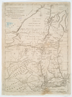
note:
… of Vermont and
Connecticut
m
The state of New York : with …
The state of New York : with …
m
Rand McNally & Co.'s road map…
Agricultural and geological m…
note:
… from the
Connecticut
Map of the state of New York …
note:
Also covers Vermont,
Connecticut
, and part of New
Long Island for the summer
note:
… of
Connecticut
.
m
… of
Connecticut
Revised map of the rail roads…
note:
… Vermont and
Connecticut
Long Island Sound (western sh…
Engineers map of the state of…
Map of New Netherland with a …
note:
…, and
Connecticut
(modern-day New
Northern coast of Long Island…
m
Province de New-York : en 4 f…
note:
… and
Connecticut
River)…
Map of the rail-roads of the …
Water shed of the Croton River
note:
… to the
Connecticut
border.