Click to visit the main New York Public Library Homepage
The New York Public Library
Digital Collections
About Digital Collections
Browse
Search only public domain materials
Items
Collections
Divisions
Home
Search
Browse
About
Search only public domain materials
Items
Collections
Divisions
Digital Collections
Using Images
Using Data
Search
Filtered keyword search
Show filters
Hide filters
Show Only Public Domain
topic
Geography
4
Atlases, British
3
Cosmography
1
Ethnic stereotypes
1
Ethnology
1
name
Thornton, Samuel
12
Dunn, Samuel, d. 1794
3
Mitchell, S. Augustus (Samuel Augustus), 1792-1868
3
Sayer, Robert, 1725-1794
3
Anville, Jean Baptiste Bourguignon d', 1697-1782
1
More
Less
collection
x
Atlases, gazetteers, guidebooks and other books
place
Atlantic Ocean
6
England
4
English Channel
3
New England
3
Irish Sea
2
More
Less
genre
x
Maps
Nautical charts
12
publisher
Printed for Robert Sayer, No. 53, Fleet-Street
3
S. A. Mitchell, jr
3
Charles Scribner's Sons
1
J. Harrison
1
M. Carey
1
More
Less
division
Map Division
23
type
cartographic
23
still image
1
Date Range
to
23 results found for:
x
International Health Exhibition (1884 : London, England)
Filtering on:
x
Genre
: Maps
x
Collection
: Atlases, gazetteers, guidebooks and other books
For more collection details, visit the
Atlases, gazetteers, guidebooks and other books collection page
.
Sort by:
Relevance
Title
Date created
Date digitized
Sequence
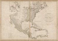
England
& Wales
use:
Can be used inside free NYPL
exhibition
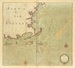
Part of NEW
ENGLAND
use:
Can be used inside free NYPL
exhibition
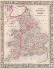
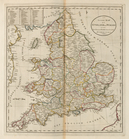
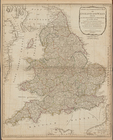
County map of
England
and Wales.
use:
Can be used inside free NYPL
exhibition
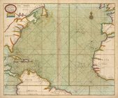
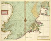
A new and correct chart from
England
use:
Can be used inside free NYPL
exhibition
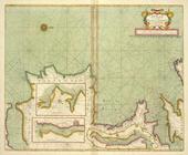
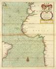
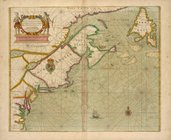
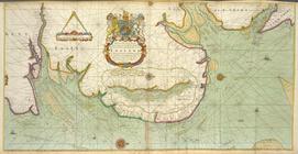
A chart of the sea coast from
ENGLAND
use:
Can be used inside free NYPL
exhibition
A map
exhibiting
use:
Can be used inside free NYPL
exhibition
… Dublin to
London
-Derry
use:
Can be used inside free NYPL
exhibition
… between
ENGLAND
and FRANCE
use:
Can be used inside free NYPL
exhibition
… of
ENGLAND
, SCOTLAND
use:
Can be used inside free NYPL
exhibition
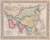
A complete map of the East Indies,
exhibiting
use:
Can be used inside free NYPL
exhibition
An accurate map of
England
and Wales
use:
Can be used inside free NYPL
exhibition
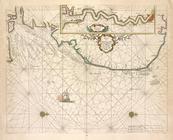
A generall chart from
ENGLAND
to cape
use:
Can be used inside free NYPL
exhibition
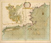
Part of New
England
, New York, east New
use:
Can be used inside free NYPL
exhibition
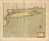
A large draught of New
England
, New York
use:
Can be used inside free NYPL
exhibition
…
England
....
use:
Can be used inside free NYPL
exhibition
A new and compendious map of
England
use:
Can be used inside free NYPL
exhibition
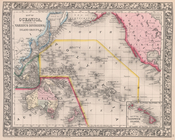
Map of Oceanica,
exhibiting
its various
use:
Can be used inside free NYPL
exhibition
m
Chart of the world
exhibiting
its chief pysical
use:
Can be used inside free NYPL
exhibition
… between
London
& India
use:
Can be used inside free NYPL
exhibition
…. Harrison,
London
, January
use:
Can be used inside free NYPL
exhibition
A chart of the Seacoasts of
ENGLAND
use:
Can be used inside free NYPL
exhibition
… of
ENGLAND
from South
use:
Can be used inside free NYPL
exhibition
… van
London
.
use:
Can be used inside free NYPL
exhibition
End of results
|
Top