Click to visit the main New York Public Library Homepage
The New York Public Library
Digital Collections
About Digital Collections
Browse
Search only public domain materials
Items
Collections
Divisions
Home
Search
Browse
About
Search only public domain materials
Items
Collections
Divisions
Digital Collections
Using Images
Using Data
Search
Filtered keyword search
Show filters
Hide filters
Show Only Public Domain
topic
x
Administrative and political divisions
Railroads
22
Canals
17
Real property
6
Maps
4
More
Less
name
Weed, Parsons & Co
7
Vaughan, David, active 1849-1864
6
New York (State). Board of Railroad Commissioners
5
Sweet, S. H. (Sylvanus Howe), 1830-1899
5
Burr, David H., 1803-1875
4
More
Less
collection
Maps of New York City and State
47
Maps of North America
1
place
New York (State)
45
New York (N.Y.)
8
Albany (N.Y.)
7
Massachusetts
7
Pennsylvania
7
More
Less
genre
x
Maps
Cadastral maps
5
Road maps
1
publisher
publisher not identified
4
Asher & Adams
2
Board of Railroad Commissioners of the State of New York
2
Lith. by Weed, Parsons & Co
2
New York State Board of Railroad Commissioners?
2
More
Less
division
Map Division
48
type
cartographic
48
Date Range
to
48 results found for:
x
Albany (N.Y.)
Filtering on:
x
Genre
: Maps
x
Topic
: Administrative and political divisions
Sort by:
Relevance
Title
Date created
Date digitized
Sequence
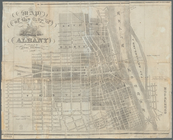
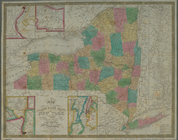
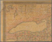
Map of the city of
Albany
note:
… of
Albany
,
Albany
, 1871 v. 3.
m
Map of the city of
Albany
note:
…,
Albany
,
N.Y
."…
City of
Albany
, New York
note:
…,
Albany
,
N.Y
.
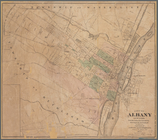
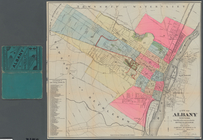
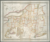
City of
Albany
, New York
Road map of the
Albany
-Troy district
note:
… of
Albany
, 1898 -- Troy.
m
Map of the city of
Albany
note:
… of
Albany
.
m
Map of the vicinity of
Albany
and Troy
note:
… and city hall,
Albany
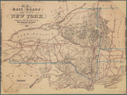
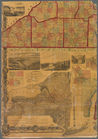
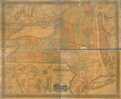
Revised map of the rail roads…
Map of the Sacketts Harbor an…
Map showing the position of the
Albany
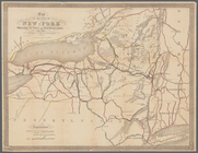
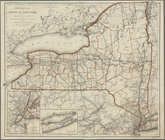
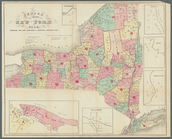
Map of the State of New-York:…
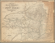
Map of the railroads of the S…
Field of the Missionary Convo…
Revised map of the rail roads…
Map of the rail roads of the …
Map of the rail roads of the …
A chorographical map of the p…
note:
…,
Albany
,
N.Y
., 1849.
A chorographical map of the p…
note:
…,
Albany
,
N.Y
., 1849.
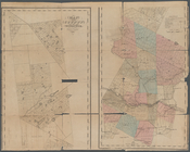
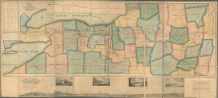
Map of the county of Herkimer
note:
….
Albany
: J. Munsell, 1856.
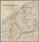
Map of Chautauqua County,
N
.
Y
note:
… County,
N.Y
., for 1873-4, Syracuse,
N.Y
., 1873.
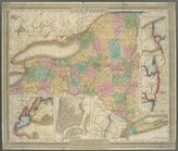
A map of the State of New Yor…
note:
…
N.Y.'s
wards
New-York
note:
… -- From
Albany
to Lake
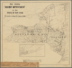
Map showing highway improveme…
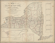
Map of the state of New-York …
Map of the rail roads of the …
Revised map of the rail roads…
University of the State of Ne…
Map of the rail roads of the …
State of New York : in Senate…
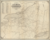
Map of the reservoirs, feeder…
note:
… to Oneida County,
N.Y
.
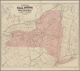
Map of the rail-roads of the …
note:
… 80°12ʹ--W 71°47ʹ/
N
45°44ʹ--
N
40°24ʹ).
Engineers map of the state of…
Map of the rail-roads of the …
A map of a tract of land in t…
Map of the rail-roads of the …
Map of the rail roads of the …
note:
…ʹ/
N
45°42ʹ--
N
40°19ʹ).
Improved map of the territori…
note:
… by Rawdon Clark & Co,
Albany
,
N.Y
.
Asher & Adams' new map of the…
collection:
… Long Branch to
Albany
Asher & Adams' new map of the…
collection:
… Long Branch to
Albany
Map of the state of New York …
note:
… -- Vicinity of
Albany
Railroad map of the State of …
note:
… Warren St., New York,
N.Y
.
m
The State of New York: from n…
note:
…,
Albany
" [17 cm diameter].
Map of the State of New-York …
note:
…. Hayward, 120 Water St.
N.Y
.
m
Map of the state of New-York:…
note:
… --
Albany
-- Schenectady
New-York
note:
… of Utica -- From
Albany
m
Map of the state of New-York …
note:
… --
Albany
-- Schenectady
Map of the western part of th…
Census of the State of New Yo…
note:
Insets: Schenectady --
Albany
-- Utica
End of results
|
Top