Click to visit the main New York Public Library Homepage
The New York Public Library
Digital Collections
About Digital Collections
Browse
Search only public domain materials
Items
Collections
Divisions
Home
Search
Browse
About
Search only public domain materials
Items
Collections
Divisions
Digital Collections
Using Images
Using Data
Search
Filtered keyword search
Show filters
Hide filters
Show Only Public Domain
topic
x
Administrative and political divisions
Railroads
3
Real property
3
Census
1
Census, 1840
1
More
Less
name
Andrews, Peter, active 1765-1782
4
Dury, Andrew
4
Montrésor, John, 1736-1799
4
Sampson, Davenport & Co
4
Walling, Henry Francis, 1825-1888
3
More
Less
collection
Maps of North America
11
Maps of New York City and State
9
Lawrence H. Slaughter Collection of English maps, charts, globes, books and atlases
1
place
New York (State)
10
Connecticut
4
Massachusetts
4
New England
4
New York (N.Y.)
4
More
Less
genre
x
Maps
Cadastral maps
1
Prints
1
Surveys
1
land surveys
1
publisher
A. Dury ..
4
Sampson, Davenport & Co
4
... by W. Faden, (successor to the late Thos. Jefferys Georgr. to the King), Charing Cross
2
Surveyor General's Office
2
publisher not identified
2
More
Less
division
Map Division
21
type
cartographic
21
Date Range
to
21 results found for:
x
International Health Exhibition (1884 : London, England)
Filtering on:
x
Genre
: Maps
x
Topic
: Administrative and political divisions
Sort by:
Relevance
Title
Date created
Date digitized
Sequence
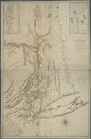
City of Taunton,
1884
use:
Can be used inside free NYPL
exhibition
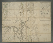
Map of Boston for
1884
use:
Can be used inside free NYPL
exhibition
Map of the city of Somerville
1884
use:
Can be used inside free NYPL
exhibition
Southern New
England
use:
Can be used inside free NYPL
exhibition
m
Map of New
London
County, Connecticut
use:
Can be used inside free NYPL
exhibition
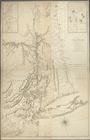
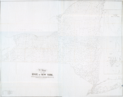
A plat
exhibiting
the state of the surveys
use:
Can be used inside free NYPL
exhibition
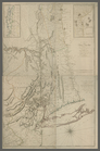
A plat
exhibiting
the state of the surveys
use:
Can be used inside free NYPL
exhibition
m
Mitchell's new national map
exhibiting
use:
Can be used inside free NYPL
exhibition
Map of New
England
with adjacent portions of New
use:
Can be used inside free NYPL
exhibition
Map of New
England
with adjacent portions of New
use:
Can be used inside free NYPL
exhibition
…, and New
England
.
use:
Can be used inside free NYPL
exhibition
…, and New
England
.
use:
Can be used inside free NYPL
exhibition
…, and New
England
.
use:
Can be used inside free NYPL
exhibition
…, and New
England
.
use:
Can be used inside free NYPL
exhibition
Map of New
England
, with adjacent portions of New
use:
Can be used inside free NYPL
exhibition
…, villages,
internal
use:
Can be used inside free NYPL
exhibition
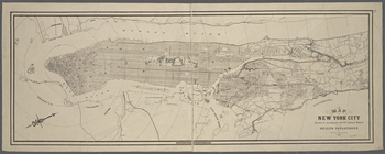
… report of the
Health
use:
Can be used inside free NYPL
exhibition
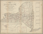
Map of the State of New-York
exhibiting
use:
Can be used inside free NYPL
exhibition
A map of the State of New York :
exhibiting
use:
Can be used inside free NYPL
exhibition
… and townships :
exhibiting
use:
Can be used inside free NYPL
exhibition
m
… and townships :
exhibiting
use:
Can be used inside free NYPL
exhibition
End of results
|
Top