Click to visit the main New York Public Library Homepage
The New York Public Library
Digital Collections
About Digital Collections
Browse
Search only public domain materials
Items
Collections
Divisions
Home
Search
Browse
About
Search only public domain materials
Items
Collections
Divisions
Digital Collections
Using Images
Using Data
Search
Filtered keyword search
Show filters
Hide filters
Show Only Public Domain
topic
Real property
160
Landowners
117
Administrative and political divisions
34
Railroads
18
Cities and towns
10
More
Less
name
Smith, Robert Pearsall, 1827-1898
16
Dripps, M. (Matthew)
8
French, J. H. (John Homer), 1824-1888
6
J.B. Beers & Co
6
Welcke, Robert A
5
More
Less
collection
x
Maps of New York City and State
place
New York (State)
179
New York
35
New York (N.Y.)
24
Yonkers (N.Y.)
18
Manhattan (New York, N.Y.)
16
More
Less
genre
x
Cadastral maps
Maps
183
Manuscript maps
16
Topographic maps
4
Bathymetric maps
2
More
Less
publisher
publisher not identified
33
J.B. Beers & Co
6
M. Dripps
5
J.H. French
4
Common Council
3
More
Less
division
Map Division
183
type
cartographic
182
still image
4
text
1
Date Range
to
183 results found for:
x
Princesses
Filtering on:
x
Genre
: Cadastral maps
x
Collection
: a1a9d830-c5a6-012f-00ec-58d385a7bc34
Sort by:
Relevance
Title
Date created
Date digitized
Sequence
m
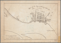
Lands of the Harlaem Canal Co…
Mulberry Bend District. Map b…
m
Property identification map o…
m
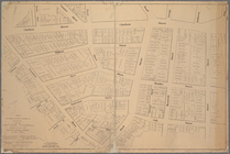
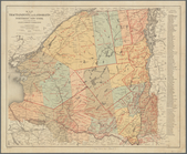
Map of New York City from Bat…
m
Brooklyn City Hall
Property nos. 43, 45, and 47 …
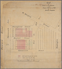
Block no. 86 : confidential r…
Map of the City of New York: …
Map of Great Barn Island, New…
Land register map of the City…
Pencil sketch of Rochester, N…
Map of New York City above 11…
m
Map of Clasons Point: in the …
Real estate map of property b…
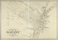
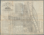
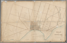
Map of Albany, New York
Nyack
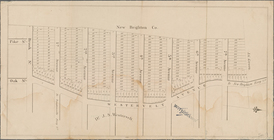
Map of Highbridgeville in the…
Map showing the relative posi…
Map of land to be acquired un…
Tracts and farms with street …
Block sketch 1679, New York C…
Map of the flats above Albany
Map of the city of Albany
Map of the village of Waterto…
m
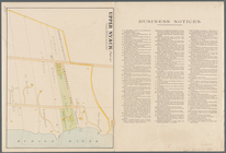
Upper Nyack
Map of the village of Lyon Mo…
Map of pr[op]erty of Union Av…
Map of land belonging to Feli…
m
Map of Dunkirk
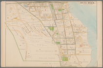
South Nyack
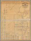
Map of Olean, New York
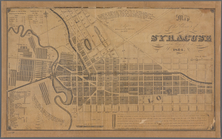
Map of the village of Syracus…
Rye Park: [New York]
Map of part of the village of…
m
Peremptory sale of a suburban…
Index map to Bensonhurst-by-t…
Map showing location of lands…
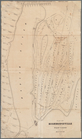
Plan of the city of Albany ab…
Map of the tracts, patents an…
Map of lots situated in the c…
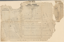
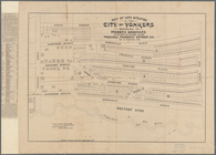
Map of lands in the town of Y…
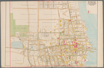
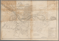
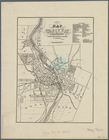
Map of the city of Rochester:…
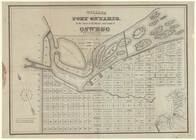
Village of Port Ontario, in t…
m
Castle Ridge, Tarrytown, West…
Cattaraugus Reservation of th…
m
Map of the Queens Boro[ugh], …
m
Map of Geneva, Ontario Co., N…
Portions of 2nd, 3rd, and 4th…
m
Map of the city of Poughkeeps…
Map of the upper part of the …