Click to visit the main New York Public Library Homepage
The New York Public Library
Digital Collections
About Digital Collections
Browse
Search only public domain materials
Items
Collections
Divisions
Home
Search
Browse
About
Search only public domain materials
Items
Collections
Divisions
Digital Collections
Using Images
Using Data
Search
Filtered keyword search
Show filters
Hide filters
Show Only Public Domain
topic
Real property
388
Zoning
113
Atlases, British
56
Geography, Ancient
40
Maps in education
40
More
Less
name
E. Belcher Hyde Map Company
269
E.B. Hyde & Co
269
Ullitz, Hugo
269
New York (N.Y.). Board of Estimate and Apportionment
113
Hyde, E. Belcher
112
More
Less
collection
Atlases of New York City
382
Atlases of the United States
150
Lawrence H. Slaughter Collection of English maps, charts, globes, books and atlases
103
Maps of North America
100
Maps of Asia
40
More
Less
place
x
Maps
New York (State)
515
New York
386
Brooklyn (New York, N.Y.)
289
Early works to 1800
122
More
Less
genre
x
Maps
Atlases
150
Index maps
3
Indexes
3
Prints
2
More
Less
publisher
E. Belcher Hyde
270
E. Belcher-Hyde
112
The Board
76
Printed at the Theater,
40
Berlin
38
More
Less
division
Map Division
848
Schomburg Jean Blackwell Hutson Research and Reference Division
19
Wallach Division: Print Collection
3
Wallach Division: Picture Collection
1
type
cartographic
867
text
9
still image
2
Date Range
to
Looking for one of these collections?
Lawrence H. Slaughter Collection of English maps, charts, globes, books and atlases
1,252 items
Maps of North America
3,345 items
871 results found for:
x
map
Filtering on:
x
Genre
: Maps
x
Place
: Maps
Sort by:
Relevance
Title
Date created
Date digitized
Sequence
m
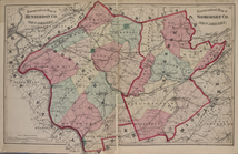
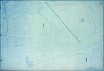
Map
of lots near Prospect Park.
m
Map
of Consolidated City Brooklyn.
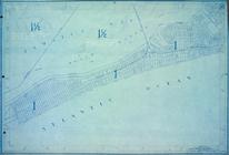
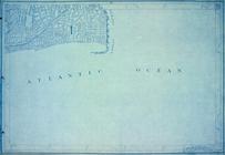
Map
of Newtown Creek and vicinity [and
Map
of the Cities of Brooklyn and Williamsburg
note:
Contains also small
map
of vicinity of New
Map
of the cities of Brooklyn, Williamsburg
Map
of the City of Williamsburg with part
Historical
map
of the state of Connecticut
note:
NYPL. Dictionary catalog of the
Map
Philadelphia and adjacent cou…
note:
… to Early
Maps
of the Middle
m
Transportation
map
of Brooklyn, Improvements
m
Greenwood cemetery.
collection:
Maps
of New York City and State
City of New York, Borough of Brooklyn ;
map
Guide
map
of Brooklyn, Kings County, N.Y
Map
of the city of Brooklyn.
Map
of the Borough of Brooklyn, City of New York
New York and adjacent country.
note:
… to Early
Maps
of the Middle
Baltimore, Annapolis, and adj…
note:
… to Early
Maps
of the Middle
m
Greenwood cemetery.
collection:
Maps
of New York City and State
Topographical
Map
m
Beers' new
map
of Staten Island : from
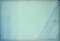
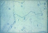
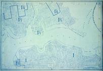
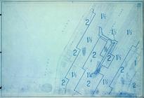
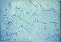
Height District
Map
Section No. 1
Height District
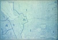
Map
Section No. 2
Height District
Map
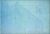
Section No. 3
Height District
Map
Section No. 4
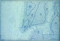
Height District
Map
Section No. 5
Height District
Map
Section No. 6
Height District
Map
Section No. 7
Height District
Map
Section No. 8
Height District
Map
Section No. 9
Height District
Map
Section No. 10
Height District
Map
Section No. 11
Height District
Map
Section No. 12
Height District
Map
Section No. 13
Height District
Map
Section No. 14
Height District
Map
Section No. 15
Height District
Map
Section No. 16
Height District
Map
Section No. 17
Height District
Map
Section No. 18
Height District
Map
Section No. 19
Height District
Map
Section No. 20
Height District
Map
Section No. 21
Height District
Map
Section No. 22
Height District
Map
Section No. 23
Height District
Map
Section No. 24
Height District
Map
Section No. 25
Height District
Map
Section No. 26
Height District
Map
Section No. 27
Height District
Map
Section No. 28
Height District
Map
Section No. 29
Height District
Map
Section No. 30
Height District
Map
Section No. 31
1
2
3
4
Previous
Next
1
2
3
4
Previous
Next