Click to visit the main New York Public Library Homepage
The New York Public Library
Digital Collections
About Digital Collections
Browse
Search only public domain materials
Items
Collections
Divisions
Home
Search
Browse
About
Search only public domain materials
Items
Collections
Divisions
Digital Collections
Using Images
Using Data
Search
Filtered keyword search
Show filters
Hide filters
Show Only Public Domain
topic
Real property
103
Administrative and political divisions
66
Railroads
57
Fire insurance
45
Cities & towns
43
More
Less
name
Sanborn Map Company
44
United States Coast Survey
20
Bache, A. D. (Alexander Dallas), 1806-1867
16
G.W. Bromley & Co
12
Johnson, A. J. (Alvin Jewett), 1827-1884
10
More
Less
collection
Maps of North America
224
Maps of New York City and State
83
Atlases of New York City
64
Lawrence H. Slaughter Collection of English maps, charts, globes, books and atlases
19
Atlases of the United States
6
More
Less
place
New York (State)
132
New York
39
New York (N.Y.)
35
Massachusetts
32
United States
32
More
Less
genre
x
Maps
Cadastral maps
31
Nautical charts
18
Bathymetric maps
15
Topographic maps
14
More
Less
publisher
Sanborn Map Company
44
publisher not identified
35
G.W. Bromley & Co
12
U.S. Coast Survey
12
Surveyor General's Office
7
More
Less
division
Map Division
405
Wallach Division: Print Collection
5
Schomburg Jean Blackwell Hutson Research and Reference Division
3
General Research Division
1
Manuscripts and Archives Division
1
More
Less
type
cartographic
416
still image
9
text
6
Date Range
to
417 results found for:
x
56
Filtering on:
x
Genre
: Maps
Sort by:
Relevance
Title
Date created
Date digitized
Sequence
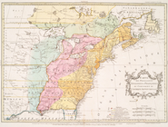
New map of Cape Colony and ad…
Carte des possessions anglois…
note:
LC Maps of North America, 1750-1789,
56
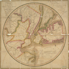
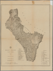
Map of the Territory of Flori…
first:
7d7c
56
b0-ed74-0134-c97e-393da77b1653
The Earth's Western planisphe…
Plan for preservation of Audu…
collection:
Volumes
5-6
Five Muscovites (Three Seated)
note:
Dobson 18; Paulson 261; Tilden II:
56
[b]
Map of
56
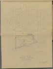
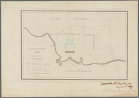
lots belonging to George H. Huber
Die Karte von Arabia Petraea
m
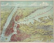
Birds eye view of New York an…
m
Map of the state of Virginia
note:
Lawrence H. Slaughter Collection,
56
.
Madison County.
Map of the cities of Brooklyn…
Map of the country thirty mil…
Geological map of Allegheny C…
[Photographic copy of a print…
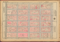
Plate
56
, Part of Section 3
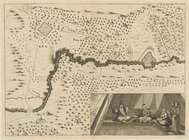
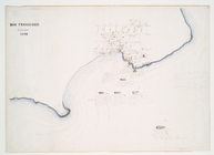
San Francisco September 1848
note:
Stokes 1848-F-
56
Map of Massachusetts
Plate
56
Taunton River: drainage area …
West Point, New York
Bird's eye view map of New Yo…
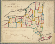
Map of the State of New York
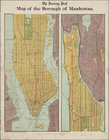
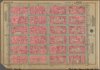
Map of the borough of Manhatt…
Sketch map of Pascataway, Mai…
m
General chart of the globe, s…
Sheet No.
56
. [Includes Lincoln Avenue
Representation la plus nouvel…
Bronx, V. A, Plate No.
56
[Map bounded
Green-Wood Cemetery
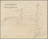
Primary triangulation in the …
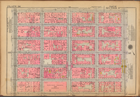
Plate
56
, Part of Section 3
m
Watson's new topographical, t…
parent:
f58affb0-c52a-012f-
56
dd-3c075448cc4b
Johnson's United States
Plan of the cemetery of Mount…
Pultneyville bay: with the pl…
Linguistic stocks of American…
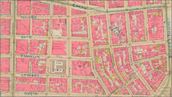
Mulberry Bend District. Map b…
Plate
56
, Part of Section 3
Penacook, N.H.: [bird's eye v…
m
The Green-Wood cemetery 1897
Map of Bayside, third ward, b…
Map of the city of Washington
Map of Shelter Island showin…
Map of 465 valuable building …
Map shewing the rail roads be…
Map of the village of Peekski…
Amerique septentrionale divis…
m
Plate 55 &
56
: Part of New Rochelle
Plate
56
, Part of Section 11, Borough
1
2
Previous
Next
1
2
Previous
Next