Click to visit the main New York Public Library Homepage
The New York Public Library
Digital Collections
About Digital Collections
Browse
Search only public domain materials
Items
Collections
Divisions
Home
Search
Browse
About
Search only public domain materials
Items
Collections
Divisions
Digital Collections
Using Images
Using Data
Search
Filtered keyword search
Show filters
Hide filters
Show Only Public Domain
topic
Charts, diagrams, etc
33
Altitudes
19
Canals
15
Administrative and political divisions
14
Geology
7
More
Less
name
Mitchell, S. Augustus (Samuel Augustus), 1792-1868
4
Pease, Richard H., 1813-1869
4
Vaughan, David, active 1849-1864
4
Haines, D
3
New York (State). State Engineer and Surveyor
3
More
Less
collection
Maps of New York City and State
35
Maps of North America
18
Album / Female Society, for the Relief of Negro Slaves
1
Cosmographiae Introdvctio / Cvm Qvibvsdam / Geometriae / Ac / Astrono / miae Principiis / Ad Eam Dem [sic] Necessariis. / Insuper quatuor Americi Vespucii / nauigationes
1
place
New York (State)
29
Erie Canal (N.Y.)
16
New York (N.Y.)
9
Manhattan (New York, N.Y.)
6
New York
6
More
Less
genre
x
Maps
Manuscript maps
3
Charts
2
Prints
2
Wall maps
2
More
Less
publisher
Lith. of R.H. Pease
3
New York State Engineer and Surveyor?
3
Published by A. Finley
2
Published by S. Augustus Mitchell :
2
s.n
2
More
Less
division
Map Division
53
Rare Book Division
1
Schomburg Manuscripts, Archives and Rare Books Division
1
type
cartographic
53
still image
3
text
2
Date Range
to
55 results found for:
x
Charts, diagrams, etc
Filtering on:
x
Genre
: Maps
Sort by:
Relevance
Title
Date created
Date digitized
Sequence
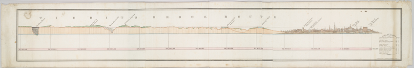
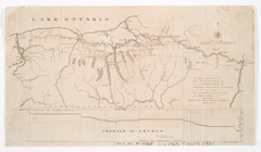
Tibbits Brook route.
use:
…,
etc
.)…
Profiles of the canals and ra…
use:
…,
etc
.)…
Profiles of the canals and ra…
use:
…,
etc
.)…
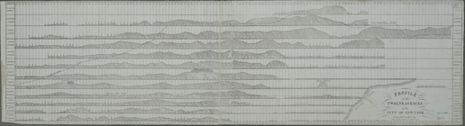
Profile of the twelve avenues…
use:
…,
etc
.)…
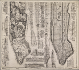
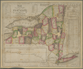
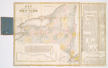
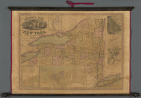
Map of the state of New York …
use:
…,
etc
.)…
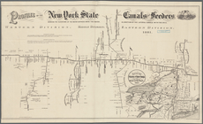
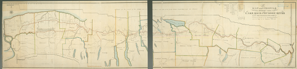
Profiles of the New York Stat…
use:
…,
etc
.)…
State of New York, Jany. 1, 1…
use:
…,
etc
.)…
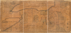
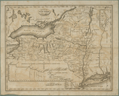
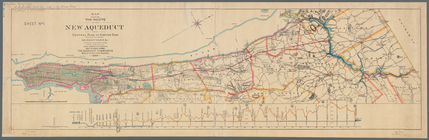
Map of part of New York State…
use:
…,
etc
.)…
The tourist's map of the stat…
use:
…,
etc
.)…
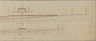
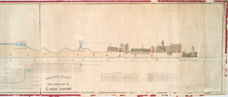
Profile of lower part of Crot…
use:
…,
etc
.)…
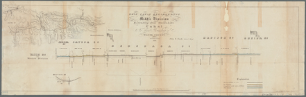
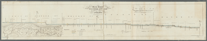
Erie Canal enlargement, middl…
use:
…,
etc
.)…
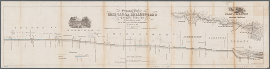
Statistical profile, Erie Can…
use:
…,
etc
.)…
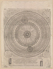
Motvs . noue . spere . et . t…
use:
…,
etc
.)…
Squire's map of the state of …
use:
…,
etc
.)…
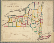
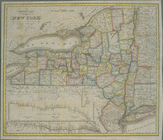
Map of the State of New York
use:
…,
etc
.)…
m
History of the United States:…
use:
…,
etc
.)…
A map, historical and biographical
chart
use:
…,
etc
.)…
The state of New York from th…
use:
…,
etc
.)…
Map of the state of New York:…
use:
…,
etc
.)…
m
Geologic map and sections of …
use:
…,
etc
.)…
Chart
of the world, on Mercator's Projection
use:
…,
etc
.)…
Map of the State of New York …
use:
…,
etc
.)…
Neueste Karte von New York : …
use:
…,
etc
.)…
Map of the state of New York …
use:
…,
etc
.)…
Map of the State of New York
use:
…,
etc
.)…
Statistical profile of the Bl…
use:
…,
etc
.)…
Map and profile of the Champl…
use:
…,
etc
.)…
Map of the State of New York
use:
…,
etc
.)…
Map of the state of New York
use:
…,
etc
.)…
m
Plan of the Harlem River Driv…
use:
…,
etc
.)…
A
diagram
of the United States : shewing
use:
…,
etc
.)…
m
Profile of Riverside Drive fr…
use:
…,
etc
.)…
Plan of the Neponset River an…
use:
…,
etc
.)…
Line of the Morris Canal, New…
use:
…,
etc
.)…
A new map and profile of the …
use:
…,
etc
.)…
m
Map of the western part of th…
use:
…,
etc
.)…
Map showing the route of the …
use:
…,
etc
.)…
Statistical profile of Erie C…
use:
…,
etc
.)…
The tourist's pocket map of P…
use:
…,
etc
.)…
m
United States: wall-atlas
use:
…,
etc
.)…
The tourist's map of the stat…
use:
…,
etc
.)…
A new map of Pennsylvania : w…
use:
…,
etc
.)…
Map of the country between Wa…
use:
…,
etc
.)…
The travellers pocket map of …
use:
…,
etc
.)…
The tourist's pocket map of P…
use:
…,
etc
.)…
The tourist's pocket map of P…
use:
…,
etc
.)…
Geological section along the …
use:
…,
etc
.)…
Geological section from the M…
use:
…,
etc
.)…
Preliminary
chart
of Bass River Harbor
use:
…,
etc
.)…
Distance map of the state of …
use:
…,
etc
.)…