Click to visit the main New York Public Library Homepage
The New York Public Library
Digital Collections
About Digital Collections
Browse
Search only public domain materials
Items
Collections
Divisions
Home
Search
Browse
About
Search only public domain materials
Items
Collections
Divisions
Digital Collections
Using Images
Using Data
Search
Filtered keyword search
Show filters
Hide filters
Show Only Public Domain
topic
Real property
147
Maps
36
Railroads
18
Rivers
12
Insurance
11
More
Less
name
Perris & Browne
141
Perris, William
141
M.B. Brown Printing and Binding Co
108
New York (N.Y.). Board of Estimate and Apportionment
108
A. Brown & Co
8
More
Less
collection
Atlases of New York City
307
Maps of North America
42
Maps of New York City and State
29
Atlases of the United States
10
Lawrence H. Slaughter Collection of English maps, charts, globes, books and atlases
4
More
Less
place
New York (State)
176
New York
160
Manhattan (New York, N.Y.)
134
New York (N.Y.)
114
Brooklyn (New York, N.Y.)
23
More
Less
genre
x
Maps
Atlases
10
Index maps
9
Cadastral maps
7
Title pages
7
More
Less
publisher
Perris & Browne
124
M.B. Brown Printing & Binding Co.,
108
Perris & Browne
38
A. Brown & Co
5
Advisory Board on Drainage
4
More
Less
division
Map Division
266
Manuscripts and Archives Division
4
Schomburg Manuscripts, Archives and Rare Books Division
3
Schomburg Jean Blackwell Hutson Research and Reference Division
2
General Research Division
1
More
Less
type
cartographic
407
text
11
still image
5
Date Range
to
407 results found for:
x
The Brownings
Filtering on:
x
Genre
: Maps
Sort by:
Relevance
Title
Date created
Date digitized
Sequence
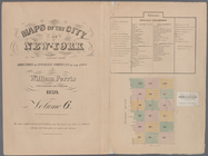
Map of the United States and …
note:
published by Johnson &
Browning
under
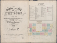
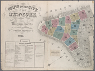
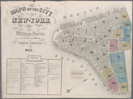
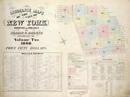
Maps of the city of New -York…
Map of the consolidated city …
note:
…"Lith. by A.
Brown
... for William G. Bishop's Manual."…
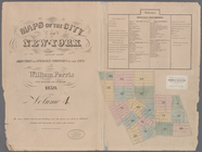
Maps of the city of New York …
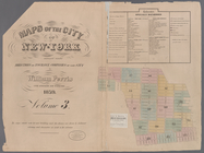
Maps of the city of New-York,…
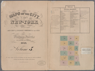
Maps of the city of New-York…
Maps of the city of New-York,…
Maps of the city of New-York…
Maps of the city of New-York…
… by Perris &
Browne
55
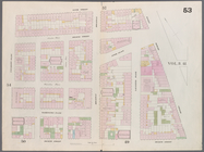
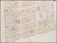
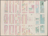
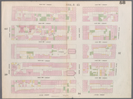
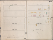
Map bounded by Murray Street,…
Map bounded by Canal Street, …
Map bounded by Hamersley Stre…
Map bounded by Spring Street,…
Map bounded by Broome Street,…
Map bounded by Houston Street…
Map bounded by Rivington Stre…
Map bounded by Division Stree…
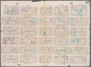
Map bounded by 5th Street, Fi…
Map bounded by 4th Street, Bo…
m
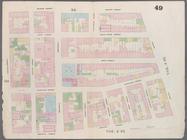
Map bounded by 9th Street, Fo…
Map bounded by 9th Street, Un…
Map bounded by 14th Street, F…
Map bounded by 14th Street, U…
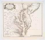
A new map of Virginia, Mary-l…
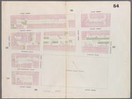
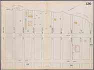
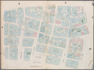
Map bounded by West 42nd Stre…
Map bounded by West 47th Stre…
Map bounded by West 47th Stre…
Map bounded by West 47th Stre…
Map bounded by West 52nd Stre…
Map bounded by West 52nd Stre…
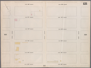
Map bounded by West 52nd Stre…
Map bounded by West 57th Stre…
Map bounded by West 57th Stre…
Map bounded by West 57th Stre…
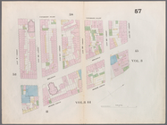
Map bounded by East 57th Stre…
Map bounded by East 57th Stre…
Map bounded by East 62nd Stre…
Map bounded by West 59th Stre…
Map bounded by West 62nd Stre…
Map bounded by West 64th Stre…
Map bounded by West 72nd Stre…
Map bounded by West 67th Stre…
Map bounded by West 72nd Stre…
Map bounded by East 67th Stre…
Map bounded by East 67th Stre…
Map bounded by East 72nd Stre…
Map bounded by East 72nd Stre…
Map bounded by East 72nd Stre…
Map bounded by Frankfort Stre…
1
2
Previous
Next
1
2
Previous
Next