Click to visit the main New York Public Library Homepage
The New York Public Library
Digital Collections
About Digital Collections
Browse
Search only public domain materials
Items
Collections
Divisions
Home
Search
Browse
About
Search only public domain materials
Items
Collections
Divisions
Digital Collections
Using Images
Using Data
Search
Filtered keyword search
Show filters
Hide filters
Show Only Public Domain
topic
Real property
2134
Maps
275
Administrative and political divisions
1
Landowners
1
Railroads
1
More
Less
name
x
G.W. Bromley & Co
Bromley, George Washington
785
Bromley, Walter Scott
784
Welcke, Robert A
1
collection
Atlases of New York City
2417
Atlases of the United States
89
Maps of New York City and State
1
place
New York (State)
2137
Manhattan (New York, N.Y.)
1672
New York
1658
New York (N.Y.)
723
Bronx (New York, N.Y.)
476
More
Less
genre
Maps
2432
Indexes
94
Atlases
89
Cadastral maps
52
Index maps
48
More
Less
publisher
G.W. Bromley & Co
2368
G. W. Bromley & Co
52
G.W. Bromley
49
G. W. Bromley & E. Robinson
37
Geo. W. Bromley & Co
1
division
Map Division
2507
type
cartographic
2428
text
132
still image
4
Date Range
to
2,507 results found for:
x
N.
Filtering on:
x
Name
: G.W. Bromley & Co.
Sort by:
Relevance
Title
Date created
Date digitized
Sequence
….,
N
. Eleventh St., Driggs Ave.,
N
. Ninth St
… by Metropolitan Ave., Kent Ave.,
N
. Third St., Wythe Ave.,
N
… by
N
. 14th Street
… Street,
N
. 1st Street, Third Street,
N
. 2nd
…, North Boulevard,
N
. 20th
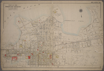
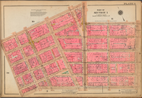
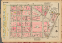
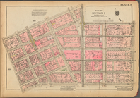
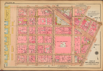
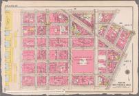
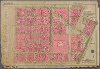
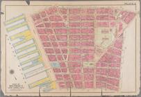
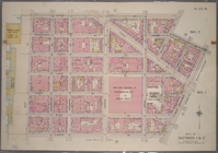
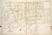
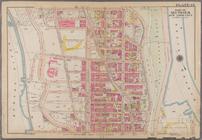
Plate 9: [Bounded by N. Moore…
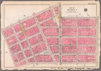
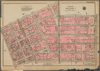
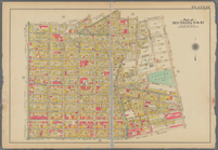
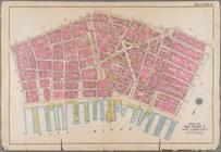
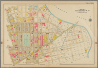
Plate 10, Part of Sections 1 …
Plate 9, Part of Section 1: […
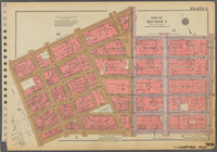
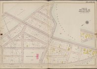
Plate 10: [Bounded by Watts S…
Bounded by
N
. Moore Street, West Broadway
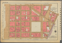
Plate 9, Part of Section 1: […
… Broadway,
N
. Moore Street
… Broadway,
N
. Moore Street
Bounded by
N
. Moore Street, West Broadway
Plate 10, Part of Sections 1 …
Plate 9, Part of Section 1: […
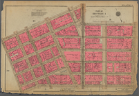
Plate 10, Part of Sections 1 …
…, Meeker Avenue,
N
. Henry
…
N
., Van Cortlandt
…. Pleasant,
N
. Broadway
…,
N
. William Street
Plate 3: Bounded by William Street,
N
. William
…, and
N
. 14th Street
Bounded by
N
. Moore Street, West Broadway
… Broadway,
N
. Moore Street
… by Pierhead Line,
N
. Burgher
… and Co., 147
N
. Fifth St
… and Co., 147
N
. Fifth St
… Road,
N
. Beach Avenue
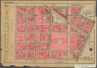
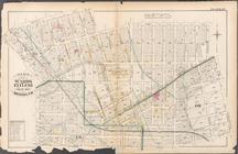
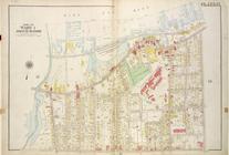
Plate 14, Part of Ward 1 [Map bound by
N
Atlas of The City of New York…
note:
… and Co. - 147
N
. Fifth St
Atlas of The City of New York…
note:
… and Co. - 147
N
. Fifth St
… by Castleton Ave,
N
. Burgher
… Avenue, Herbert Street,
N
Atlas of city of New York Bor…
note:
…"Published by G.W. Bromley and co. 147
N
Atlas of the city of New York…
note:
…"Published by G.W. Bromley and Co., 147
N
…. 104th Street, Avenue
N
collection:
th Street, Avenue
N
… Street, [...] Avenue
N
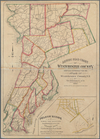
Driving road chart of Westche…
…, Hudson River (
N
.Y.C
collection:
…, Hudson River (
N
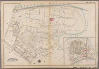
Plate 49: Bounded by Harlem River (
N
.Y,C. & H
collection:
Plate 49: Bounded by Harlem River (
N
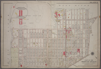
Plate 5: Bounded by (Con. Ed. Gas Co. of
N
collection:
…. of
N
.Y.)Winthrop Avenue, Blackwell
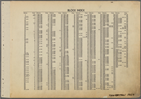
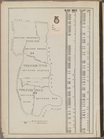
Block Index.
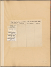
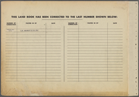
Table for Corrections
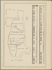
Block Index. Volume One
Block Index. Volume One
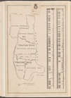
Block Index. Volume Two
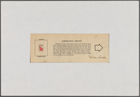
Sample Correction: Correction…
Table for Corrections
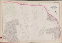
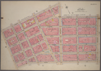
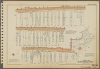
Plate 39: Plan of Hudson Rive…
1
2
3
4
5
6
7
8
9
10
11
Previous
Next
1
2
3
4
5
6
7
8
9
10
11
Previous
Next