Click to visit the main New York Public Library Homepage
The New York Public Library
Digital Collections
About Digital Collections
Browse
Search only public domain materials
Items
Collections
Divisions
Home
Search
Browse
About
Search only public domain materials
Items
Collections
Divisions
Digital Collections
Using Images
Using Data
Search
Filtered search
Show filters
Hide filters
Show Only Public Domain
topic
Real property
10267
Fire insurance
5221
Cities & towns
5007
City planning
992
Social conditions
942
More
Less
name
Sanborn Map Company
5095
G.W. Bromley & Co
2180
M.I.T. Press
942
New York (N.Y.). City Planning Commission
942
Ullitz, Hugo
735
More
Less
collection
Atlases of New York City
9665
Atlases of the United States
2037
Maps of New York City and State
1304
Collection of broadside real estate maps announcing auctions of lots in early 19th century New York City
67
Maps of North America
45
More
Less
place
x
New York (State)
New York
4859
New York (N.Y.)
2161
Manhattan (New York, N.Y.)
2150
Brooklyn (New York, N.Y.)
993
More
Less
genre
Maps
12829
Atlases
2036
Cadastral maps
246
Indexes
127
Title pages
82
More
Less
publisher
Sanborn Map Company
5009
G.W. Bromley & Co
2051
MIT Press
942
E. Belcher Hyde
557
E. Robinson Co
246
More
Less
division
Map Division
13151
type
cartographic
11963
still image
966
text
373
Date Range
to
13,151 results found
Filtering on:
x
Location
: Map Division
x
Place
: New York (State)
For more division details, visit the
Lionel Pincus and Princess Firyal Map Division division page
.
Sort by:
Title
Date created
Date digitized
Sequence
m
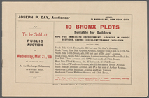
10 Bronx Plots suitable for B…
13 lots of ground to be sold …
m
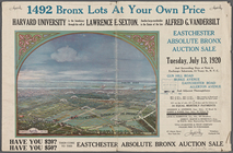
1492 Bronx Lots At Your Own P…
1863, West Point: [New York]
1889, Larchmont Harbor, N.Y.:…
m
1905 Library map of Manhattan…
m
1906 Library map of Manhattan…
m
1907 Library map of Manhattan…
m
1907 Library map of Manhattan…
1st & 2nd Wards. [Map bounded…
1st & 3rd Wards. [Map bounded…
1st Ward. [Map bounded by Bow…
1st Ward. [Map bounded by Exc…
1st Ward. [Map bounded by Lib…
1st Ward. [Map bounded by Sto…
1st Ward. [Map bounded by Wes…
m
27th assembly district
2nd & 4th Wards. [Map bounded…
2nd Ward. [Map bounded by Bro…
2nd Ward. [Map bounded by Pea…
2nd Ward. [Map bounded by Wil…
m
3 three story brick houses in…
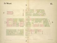
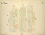
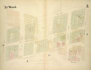
3rd Ward. [Map bounded by Col…
3rd Ward. [Map bounded by Ful…
3rd Ward. [Map bounded by Gre…
3rd Ward. [Map bounded by Rob…
3rd Ward. [Map bounded by Wes…
4 plans of the City of New Yo…
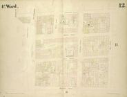
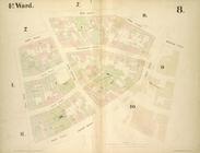
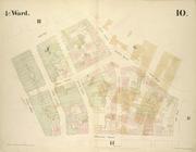
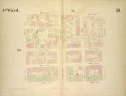
4th Ward. [Map bounded by Cat…
4th Ward. [Map bounded by Gol…
4th Ward. [Map bounded by Pec…
4th Ward. [Map bounded by Roo…
4th Ward.[Map bounded by Oak …
m
51 lots to be sold by R.R. Mi…
A better life
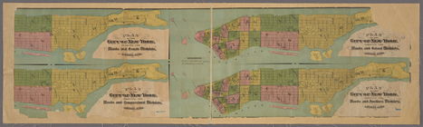
A chart of New York Island & …
[A chart of New York Island &…
A chorographical map of the p…
A chorographical map of the p…
A chorographical map of the p…
m
A chorographical map of the p…
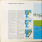
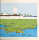
A development plan for Colleg…
A development plan for Colleg…
A draught of New York and Per…
A general map of the middle B…
A general map of the middle B…
A general map of the northern…
A geological section of the c…
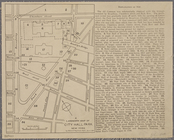
A landmark map of City Hall P…
A map of a tract of land in t…
1
2
3
4
5
6
7
8
9
10
…
52
53
Previous
Next
1
2
3
4
5
6
7
8
9
10
…
52
53
Previous
Next