Click to visit the main New York Public Library Homepage
The New York Public Library
Digital Collections
About Digital Collections
Browse
Search only public domain materials
Items
Collections
Divisions
Home
Search
Browse
About
Search only public domain materials
Items
Collections
Divisions
Digital Collections
Using Images
Using Data
Search
Filtered search
Show filters
Hide filters
Show Only Public Domain
topic
Real property
10651
Fire insurance
5289
Cities & towns
4996
Administrative and political divisions
904
Railroads
771
More
Less
name
Sanborn Map Company
5093
G.W. Bromley & Co
2471
Bromley, George Washington
797
Bromley, Walter Scott
797
Austro-Hungarian Monarchy. Militärgeographisches Institut
773
More
Less
collection
Atlases of New York City
10447
Atlases of the United States
3720
Maps of North America
3345
Maps of New York City and State
2044
Lawrence H. Slaughter Collection of English maps, charts, globes, books and atlases
1101
More
Less
place
New York (State)
11963
New York
3799
New York (N.Y.)
2358
Manhattan (New York, N.Y.)
2225
Brooklyn (New York, N.Y.)
1164
More
Less
genre
Maps
22130
Atlases
3650
Topographic maps
1050
Cadastral maps
589
Nautical charts
394
More
Less
publisher
Sanborn Map Company
5129
G.W. Bromley & Co
2294
E. Belcher Hyde
780
K.u.K. Militargeographisches Institut
773
publisher not identified
452
More
Less
division
Map Division
22270
type
x
cartographic
text
310
still image
123
Date Range
to
22,270 results found
Filtering on:
x
Location
: Map Division
x
Type
: cartographic
For more division details, visit the
Lionel Pincus and Princess Firyal Map Division division page
.
Sort by:
Title
Date created
Date digitized
Sequence
m
Hudson River Park, Hudson Riv…
m
New York Water Taxi : the bes…
Urban development of the City…
The legacy of New Sweden: Swe…
Vingboons map of Manhattan, 1…
Cuba.
Czechoslovakia
Brooklyn
Brooklyn
Map of the Greenwich Village …
m
Map of the Greenwich Village …
m
Map of Sayaboury
m
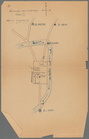
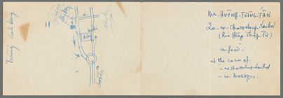
Map of part of Ho Chi Minh Ci…
Ville de Savannakhet
m
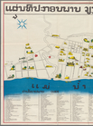
Tourist map of Vientiane
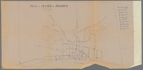
Plan du centre de Thakhek
Pencil sketch of part of Xien…
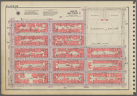
Part of Section 1, Plate 3
m
Map of Laos : based on PEO La…
Pencil sketch of part of Vien…
Plan de la ville de Vientiane
m
Atlas eclipticalis 1950.0
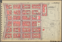
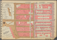
Plate 51, Part of Section 3: …
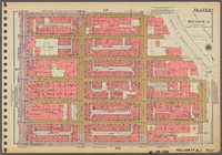
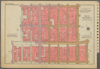
Plate 157, Part of Section 7:…
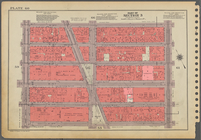
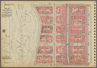
Plate 66, Part of Sections 3,…
Plate 13, Part of Section 1: …
Plate 135, Part of Section 6:…
Plate 150, Part of Section 7:…
Plate 124, Part of Section 6:…
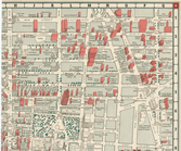
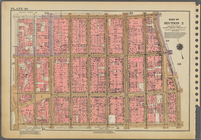
Outline and Index Map of Boro…
Plate 162, Part of Sections 7…
Block Index.
Plate 41, Part of Section 3: …
Outline and Index Map of Boro…
Plate 83, Part of Sections 4 …
Plate 20, Part of Section 2: …
Plate 173, Part of Section 8:…
Plate 119, Part of Section 5:…
Plate 60, Part of Section 3: …
Plate 6, Part of Section 1: […
Plate 171, Part of Section 8:…
Plate 73, Part of Section 5: …
Plate 110, Part of Section 5:…
Plate 28, Part of Section 2: …
Plate 47, Part of Section 3: …
Plate 22, Part of Section 2: …
Plate 92, Part of Section 4: …
Plate 145, Part of Section 7:…
Plate 176, Part of Section 8:…
Plate 136, Part of Section 6:…
1
2
3
4
5
6
7
8
9
10
…
89
90
Previous
Next
1
2
3
4
5
6
7
8
9
10
…
89
90
Previous
Next