Click to visit the main New York Public Library Homepage
The New York Public Library
Digital Collections
About Digital Collections
Browse
Search only public domain materials
Items
Collections
Divisions
Home
Search
Browse
About
Search only public domain materials
Items
Collections
Divisions
Digital Collections
Using Images
Using Data
Search
Filtered keyword search
Show filters
Hide filters
Show Only Public Domain
topic
Local transit
57
Administrative and political divisions
46
Piers
46
Railroads
45
City planning
29
More
Less
name
Rand McNally and Company
13
G.W. & C.B. Colton & Co
11
Ohman, August R
6
Valentine, D. T. (David Thomas), 1801-1869
6
American Photo-Lithographic Company
5
More
Less
collection
x
Maps of New York City and State
place
x
Manhattan (New York, N.Y.)
New York (State)
157
New York (N.Y.)
155
New York
81
Bronx (New York, N.Y.)
30
More
Less
genre
Maps
163
Manuscript maps
26
Cadastral maps
10
Blueprints
1
Charts
1
More
Less
publisher
producer not identified
8
G.W. & C.B. Colton & Co
6
Rand, McNally & Co
6
publisher not identified
5
Rand McNally & Co
4
More
Less
division
Map Division
163
Manuscripts and Archives Division
1
type
cartographic
164
Date Range
to
164 results found for:
x
Colors
Filtering on:
x
Place
: Manhattan (New York, N.Y.)
x
Collection
: Maps of New York City and State
For more collection details, visit the
Maps of New York City and State collection page
.
Sort by:
Relevance
Title
Date created
Date digitized
Sequence
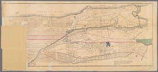
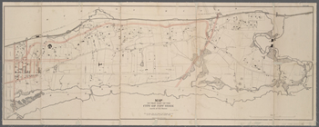
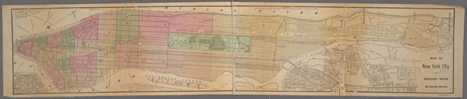
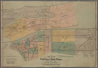
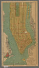
Map of New York City above 11…
note:
…
coloring
. The grand
m
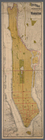
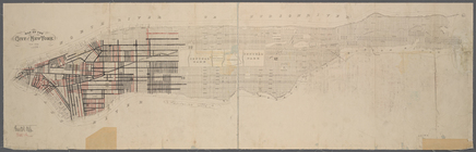
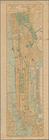
1907 Library map of Manhattan…
abstract:
…, hand
colored
m
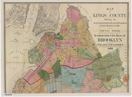
Map of Kings County: showing …
note:
… in
colored
lead.
m
Population and school attenda…
abstract:
… with stickers, and
color
pencil
Map of the County of New York…
abstract:
…,
Colored
Schools, Hall
m
Map of the City of New York n…
note:
Hand
colored
.
Monteith's map of the City of…
abstract:
… and
colored
schools, and other
m
Proposed extension of Convent…
note:
… Aqueduct,
colored
grey."…
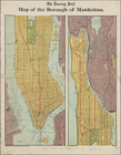
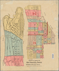
Map of the borough of Manhatt…
note:
Color
block demographic map showing ethnic
m
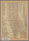
New York City map and directo…
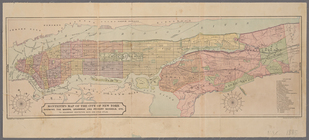
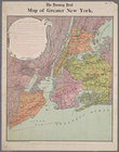
Map of greater New York
Map of the borough of Manhatt…
m
Map of the City of New York n…
note:
Hand
colored
.
Map of New York City from 50t…
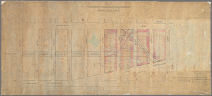
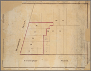
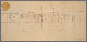
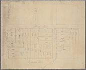
Manuscript map of corner of D…
Manuscript map of corner of C…
Mulberry Bend District. Map b…
m
Property identification map o…
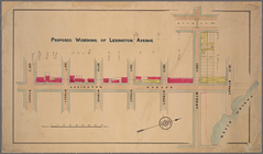
Proposed widening of Lexingto…
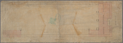
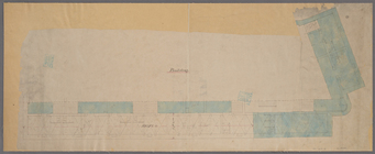
Manuscript map of "building" …
Manuscript map of building at…
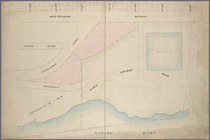
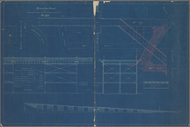
Proposed Harlem River Drive f…
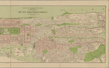
Ville de New-York
Borough of Manhattan: 23rd As…
m
Map of New York City from Bat…
Freight terminal map of New Y…
m
1905 Library map of Manhattan…
m
1906 Library map of Manhattan…
Map of that part of the city …
note:
Colored
to show roads and streets laid
m
Rand-McNally standard map of …
Block bounded by 2nd Ave., 99…
Manuscript map of lots at cor…
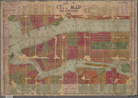
Map of New York City.
Paving map [Reade Street from…
m
Boroughs of Manhattan and the…
Property nos. 43, 45, and 47 …
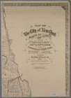
Map of the City of New York
Map of the County of New York…
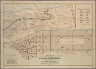
New York City
Block distribution of childre…
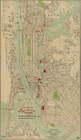
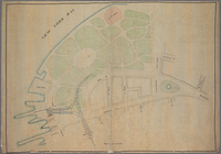
Plan of High Bridge Park, sho…
Plan of New York City between…
Proposed iron viaduct from Sa…
Plan showing course of stream…
m
New map of the borough of Man…
Manhattan borough and part of…
Map of New York City between …
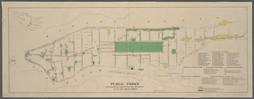
Public parks boroughs of Manh…
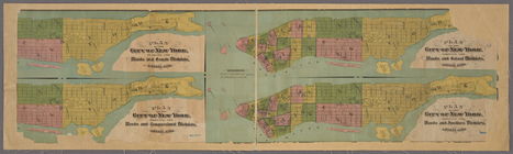
4 plans of the City of New Yo…
m
Manuscript maps of block boun…