Click to visit the main New York Public Library Homepage
The New York Public Library
Digital Collections
About Digital Collections
Browse
Search only public domain materials
Items
Collections
Divisions
Home
Search
Browse
About
Search only public domain materials
Items
Collections
Divisions
Digital Collections
Using Images
Using Data
Search
Filtered keyword search
Show filters
Hide filters
Show Only Public Domain
topic
x
Real property
Landowners
5
Administrative and political divisions
1
Booksellers and bookselling
1
Election districts
1
More
Less
name
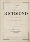
E. Robinson Co
169
Pidgeon, R. H. (Roger H.)
169
Robinson, E. (Elisha)
169
G.W. Bromley & Co
3
Dripps, M. (Matthew)
2
More
Less
collection
Atlases of New York City
172
Maps of New York City and State
8
Hugh Gaine receipt book
1
place
x
New York (N.Y.)
New York (State)
178
New York
139
Staten Island (New York, N.Y.)
37
Queens (New York, N.Y.)
4
More
Less
genre
Maps
177
Cadastral maps
5
Index maps
4
Title pages
3
Indexes
1
More
Less
publisher
E. Robinson Co
169
G. W. Bromley & Co
3
Published by M. Dripps
2
Baker & Godwin
1
Charles Wood?,
1
More
Less
division
Map Division
180
Manuscripts and Archives Division
1
type
cartographic
176
text
6
still image
1
Date Range
to
181 results found for:
x
R. N
Filtering on:
x
Place
: New York (N.Y.)
x
Topic
: Real property
Sort by:
Relevance
Title
Date created
Date digitized
Sequence
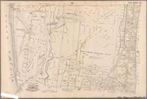
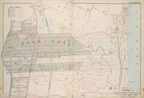
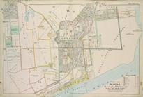
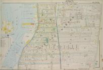
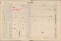
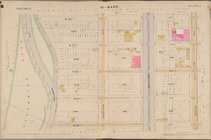
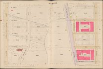
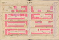
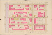
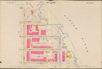
Plate 35: Bounded by .....
N
. Third Avenue
collection:
Plate 35: Bounded by .....
N
. Third Avenue, 161
m
…, Long Island
N
.Y.
note:
surveyed by
R
.F.O. Conner.
… and
R
. H. Pidgeon - E
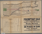
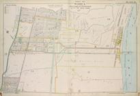
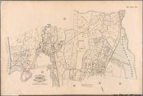
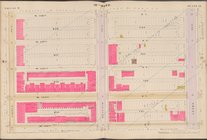
Map showing the old farms : f…
…, auct'
r
, on Monday
note:
… 73°58ʹ47ʺ--W 73°54ʹ30ʺ/
N
40°52ʹ42ʺ--
N
40°47ʹ41ʺ)…
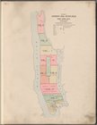
Index to Streets and Avenues,…
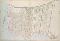
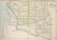
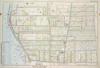
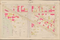
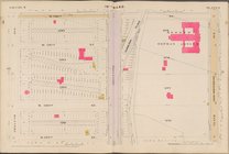
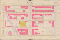
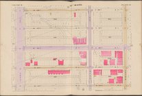
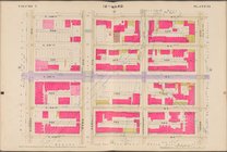
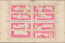
Plate 15, Part of Ward 4: [Ma…
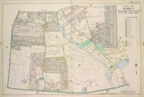
Plate 16, Part of Ward 4: [Ma…
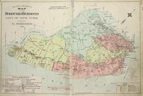
Outline & Index Map of The Bo…
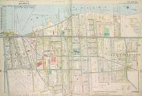
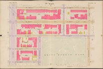
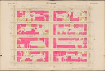
Plate 22, Part of Ward 5: [Ma…
Plate 23, Part of Ward 5: [Ma…
Key and Index
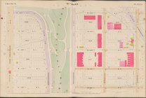
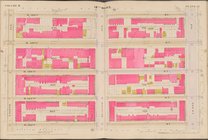
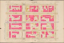
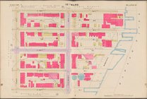
Plate 4, Part of Ward 1. [Map…
Plate 7, Part of Ward 1: [Map…
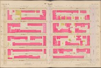
Plate 12, Part of Ward 4: [Ma…
Plate 14, Part of Ward 4: [Ma…
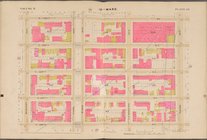
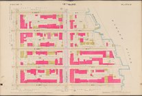
Plate 3, Part of Ward 1 : [Ma…
Plate 17, Part of Ward 4: [Ma…
Plate 25, Part of Ward 5: [Ma…
Plate 31, Part of Ward 3: [Ma…
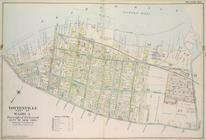
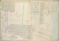
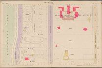
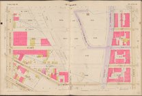
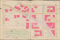
Plate 40: Bounded by .....
Outline of Robinson's Real Es…
Map bounded by 10th Ave., W. …
Map bounded by W. 122nd St., …
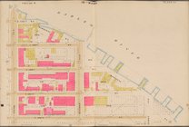
Map bounded by W. 130th St., …
Map bounded by W. 130th St., …
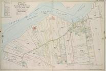
Map bounded by Harlem River, …
Map bounded by W. 94th St., 1…
Map bounded by W. 138th St., …
Map bounded by W. 122nd St., …
Map bounded by W. 126th St., …
Map bounded by W. 138th St., …
Map bounded by W. 122nd St., …
Map bounded by W. 126th St., …
Map bounded by W. 130th St., …
Map bounded by W. 134th St., …
Map bounded by W. 138th St., …
Map bounded by E. 118th St., …
Map bounded by W. 126th St., …
Map bounded by W. 134th St., …
Map bounded by E. 118th St., …
Map bounded by E. 126th St., …
Map bounded by E. 130th St., …
Map bounded by E. 118th St., …
Map bounded by E. 122nd St., …
Map bounded by E. 118th St., …
Map bounded by E. 122nd St., …
Map bounded by E. 126th St., …
Map bounded by W. 130th St., …
Plate 20, Part of Wards 4 & 5…