Click to visit the main New York Public Library Homepage
The New York Public Library
Digital Collections
About Digital Collections
Browse
Search only public domain materials
Items
Collections
Divisions
Home
Search
Browse
About
Search only public domain materials
Items
Collections
Divisions
Digital Collections
Using Images
Using Data
Search
Filtered keyword search
Show filters
Hide filters
Show Only Public Domain
name
Bronx (New York, N.Y.). Topographical Bureau
43
New York (N.Y.). Topographical Bureau
30
collection
Atlases of New York City
73
place
x
Bronx (New York, N.Y.)
genre
Maps
72
Index maps
1
Title pages
1
publisher
Topographical Bureau
73
division
Map Division
73
type
cartographic
72
text
1
Date Range
to
73 results found for:
x
800
Filtering on:
x
Place
: Bronx (New York, N.Y.)
Sort by:
Relevance
Title
Date created
Date digitized
Sequence
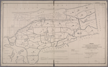
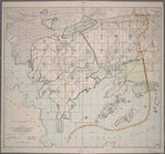
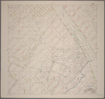
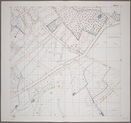
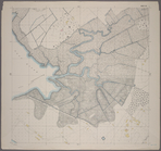
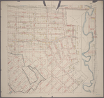
Index to the Location of the …
note:
Scale [1:1,
800
]. 150 ft. to 1 in.
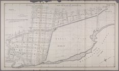
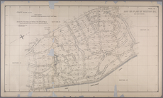
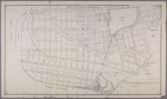
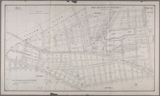
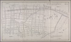
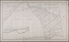
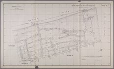
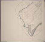
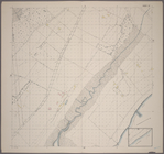
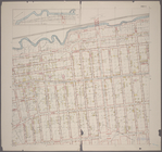
Map or Plan of Section 12. [B…
note:
Scale [1:1,
800
]. 150 ft. to 1 in.
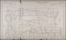
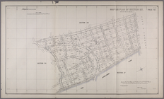
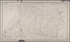
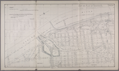
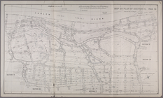
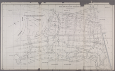
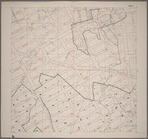
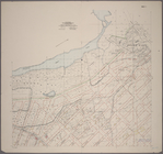
Map or Plan of Section 15. [B…
note:
Scale [1:1,
800
]. 150 ft. to 1 in.
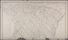
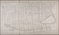
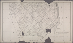
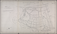
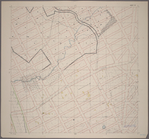
Map or Plan of Section 20. [B…
note:
Scale [1:1,
800
]. 150 ft. to 1 in.
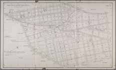
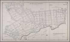
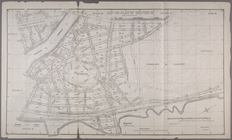
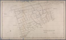
Map or Plan of Section 24. [B…
note:
Scale [1:1,
800
]. 150 ft. to 1 in.
Map or Plan of Section 25. [B…
note:
Scale [1:1,
800
]. 150 ft. to 1 in.
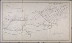
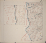
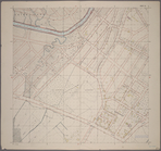
Maps or plans and profiles, w…
note:
Scale [1:1,
800
]. 150 ft. to 1 in.
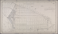
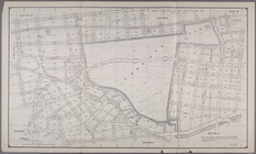
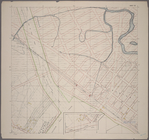
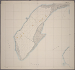
Map of Section 1. [Bounded by…
note:
Scale [1:1,
800
]. 150 ft. to 1 in.
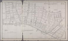
Section 1: Map or Plan of Sec…
note:
Scale [1:1,
800
]. 150 ft. to 1 in.
Map or Plan of Section 3. [Bo…
note:
Scale [1:1,
800
]. 150 ft. to 1 in.
Map or Plan of Section 4. [Bo…
note:
Scale [1:1,
800
]. 150 ft. to 1 in.
Map or Plan of Section 6. [Bo…
note:
Scale [1:1,
800
]. 150 ft. to 1 in.
Map or Plan of Section 7. [Bo…
note:
Scale [1:1,
800
]. 150 ft. to 1 in.
Map or Plan of Section 8. [Bo…
note:
Scale [1:1,
800
]. 150 ft. to 1 in.
Map or Plan of Section 9.[Bou…
note:
Scale [1:1,
800
]. 150 ft. to 1 in.
Map or Plan of Section 11. [B…
note:
Scale [1:1,
800
]. 150 ft. to 1 in.
Map or Plan of Section 13. [B…
note:
Scale [1:1,
800
]. 150 ft. to 1 in.
Map or Plan of Section 14. [B…
note:
Scale [1:1,
800
]. 150 ft. to 1 in.
Map or Plan of Section 16. [B…
note:
Scale [1:1,
800
]. 150 ft. to 1 in.
Map or Plan of Section 5. [Bo…
note:
Scale [1:1,
800
]. 150 ft. to 1 in.
Map or Plan of Section 18. [B…
note:
Scale [1:1,
800
]. 150 ft. to 1 in.
Map or Plan of Section 19. [B…
note:
Scale [1:1,
800
]. 150 ft. to 1 in.
Map or Plan of Section 21. [B…
note:
Scale [1:1,
800
]. 150 ft. to 1 in.
Map or Plan of Section 22. [B…
note:
Scale [1:1,
800
]. 150 ft. to 1 in.
Map or Plan of Section 23. [B…
note:
Scale [1:1,
800
]. 150 ft. to 1 in.
Map or Plan of Section 26. [B…
note:
Scale [1:1,
800
]. 150 ft. to 1 in.
Map or Plan of Section 27. [B…
note:
Scale [1:1,
800
]. 150 ft. to 1 in.
Map or Plan of Section 28. [B…
note:
Scale [1:1,
800
]. 150 ft. to 1 in.
Map or Plan of Section 10. [B…
note:
Scale [1:1,
800
]. 150 ft. to 1 in.
Map or Plan of Section 17. [B…
note:
Scale [1:1,
800
]. 150 ft. to 1 in.
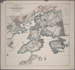
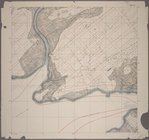
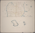
Index to the Topographical su…
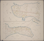
Sheet 34: Grid #24000E - 2800…
Sheet 2: Grid #8000E - 12000E…
Sheet 9: Grid #12000E - 16000…
Sheet 16: Grid #16000E - 2000…
Sheet 17: Grid #16000E - 2000…
Sheet 21: Grid #18000E - 2400…
Sheet 26: Grid #20000E - 2400…
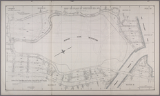
Sheet 29: Map of Pelham Bay P…
Sheet 30: Grid #24000E - 2800…
Sheet 31: Grid #24000E - 2800…
Sheet 33: Grid #24000E - 2800…
Sheet 35: Grid #28000E - 3200…
Sheet 36: Grid #28000E - 3200…
Sheet 37: Grid #28000E - 3200…
Sheet 42: Grid #34000E - 3500…
Sheet 43: Grid #32000E - 3900…
Sheet 1: Grid #6000E - 12000…
Sheet 3: Grid #8000E - 12000E…
Sheet 7: Grid #13000E - 16000…