Click to visit the main New York Public Library Homepage
The New York Public Library
Digital Collections
About Digital Collections
Browse
Search only public domain materials
Items
Collections
Divisions
Home
Search
Browse
About
Search only public domain materials
Items
Collections
Divisions
Digital Collections
Using Images
Using Data
Search
Filtered keyword search
Show filters
Hide filters
Show Only Public Domain
topic
Local transit
21
Railroads
19
Real property
16
Administrative and political divisions
14
Piers
13
More
Less
name
Sperr, Percy Loomis, 1890-1964
34
Bronx (New York, N.Y.). Topographical Bureau
9
G.W. Bromley & Co
8
Welcke, Robert A
6
Bromley, George Washington
5
More
Less
collection
Maps of New York City and State
54
Photographic views of New York City, 1870's-1970's, from the collections of the New York Public Library
37
Atlases of New York City
23
New York City directories
3
Historical postcards of New York City
2
More
Less
place
x
Bronx (New York, N.Y.)
New York (N.Y.)
89
New York (State)
68
New York
45
Manhattan (New York, N.Y.)
36
More
Less
genre
Maps
68
Photographs
39
Title pages
10
Books
3
Cadastral maps
3
More
Less
publisher
Topographical Bureau
14
G.W. Bromley & Co
9
Matthews-Northrup Co
3
publisher not identified
3
Commission?
2
More
Less
division
Map Division
78
Milstein Division
40
Wallach Division: Photography Collection
2
Wallach Division: Picture Collection
2
type
cartographic
68
still image
43
text
15
Date Range
to
123 results found for:
x
Heliopolis (Egypt : Extinct city)
Filtering on:
x
Place
: Bronx (New York, N.Y.)
Sort by:
Relevance
Title
Date created
Date digitized
Sequence
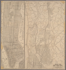
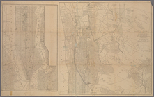
Map of New York
City
m
Map of New York
City
note:
… New York
City
Hall.
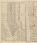
Map of New York
City
Map of New York
City
m
Harlem River, N.Y.
City
.
m
Guide-map of New York
City
m
… York
City
and adjacent country : showing the
city
m
Map of New York
City
(Manhattan
note:
… distances from
City
Hall.
m
Hammond's standard map of the
city
of New
m
Bronx: Buckley Street -
City
Island
m
Bronx: Schofield Street -
City
Island
m
Bronx:
City
Island - the west shore
m
Bronx:
City
Island Avenue - Rochelle Street
m
Bronx:
City
Island Avenue - Marine Street
m
Bronx:
City
Island Avenue - Pilot Street
m
Bronx:
City
Island Avenue - Pell Street
m
Bronx:
City
Island Avenue - Schofield Street
m
Bronx:
City
Island Avenue - Fordham Street
m
Bronx:
City
Island Avenue - Orchard Street
m
Bronx:
City
Island Avenue - Bay Street
m
Bronx:
City
Island Avenue - Tier Street
m
Bronx:
City
Island Avenue - Ditmars Street
m
Bronx:
City
Island Avenue - Bay Street
m
Bronx:
City
Island Avenue - Beach Street
m
Bronx:
City
Island Avenue - Belden Street
m
Bronx:
City
Island Avenue - Buckley Street
m
Bronx:
City
Island Avenue - Carroll Street
m
Bronx:
City
Island Avenue - Centre Street
m
Bronx:
City
Island Avenue - Cross Street
m
Bronx:
City
Island Avenue - Ditmars Street
m
Bronx:
City
Island Avenue - Elizabeth Street
m
Bronx:
City
Island Avenue - Fordham Street
m
Bronx:
City
Island Avenue - Fordham Street
m
Bronx:
City
Island Avenue - Pell Street
m
Bronx:
City
Island Avenue - Pilot Street
m
Bronx:
City
Island Avenue - Rochelle Street
m
Bronx:
City
Island Avenue - Tier Street
m
Bronx:
City
Island Road - Tier Street
m
Bronx:
City
Island Road - Tier Street
m
Bronx:
City
Island Road - Rodman's Neck
m
Bronx: Rochelle Street -
City
Island
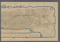
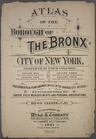
Atlas of the borough of the Bronx,
city
m
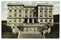
City
Hall, Borough Bronx, New York
topic:
City
& town halls
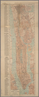
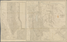
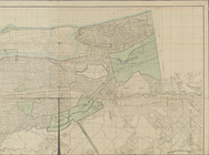
Map of northern part of New York
City
note:
… intervals from
City
Hall.
Map of northern part of New York
City
note:
… intervals from
City
Hall.
m
Map of northern part of New York
City
note:
… intervals from
City
Hall.
Sketch map of the
city
of New York
m
City
of New York, map of the borough
m
Map of the northern portion of the
City
of New
m
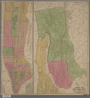
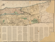
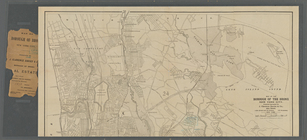
Map of the borough of the Bronx, New York
City