Click to visit the main New York Public Library Homepage
The New York Public Library
Digital Collections
About Digital Collections
Browse
Search only public domain materials
Items
Collections
Divisions
Home
Search
Browse
About
Search only public domain materials
Items
Collections
Divisions
Digital Collections
Using Images
Using Data
Search
Filtered keyword search
Show filters
Hide filters
Show Only Public Domain
topic
Bodies of water
2
Islands
2
Nautical charts
2
Nazi propaganda
2
World War, 1939-1945
2
More
Less
name
Thornton, Samuel
14
Goos, Pieter, approximately 1616-1675
4
Avery, Samuel Putnam, 1822-1904
2
Bracquemond, Félix, 1833-1914
2
Hoffmann, Heinrich, 1885-1957
2
More
Less
collection
Atlases, gazetteers, guidebooks and other books
18
Eye on the Reich : German propaganda photographs, 1939-1942
2
Maps of Europe
2
Samuel Putnam Avery Collection
2
Lawrence H. Slaughter Collection of English maps, charts, globes, books and atlases
1
More
Less
place
x
English Channel
Brittany (France)
6
Europe
2
France
2
Normandy (France)
2
More
Less
genre
Maps
21
Nautical charts
14
Photographs
2
Prints
2
Naval prints
1
publisher
P. Goos
4
Printed and published by Robert Laurie and James Whittle, No. 53, Fleet Street ..
1
Steele & co
1
s.n
1
division
Map Division
21
Wallach Division: Picture Collection
3
Wallach Division: Print Collection
2
type
cartographic
21
still image
5
Date Range
to
26 results found for:
x
English Channel
Filtering on:
x
Place
: English Channel
Sort by:
Relevance
Title
Date created
Date digitized
Sequence
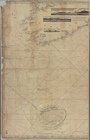
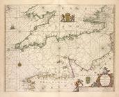
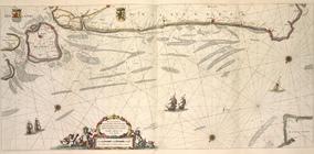
A chart of the
English
Channel
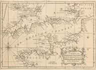
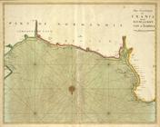
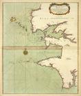
The coast of NORMANDIE from c…
… to a
Channel
harbor. No
English
ship can get
note:
… shipping in the
English
Channel
. The British
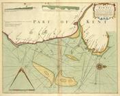
A Large Draught of the DOWNES
A new and correct draught of the
CHANNELL
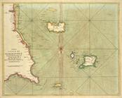
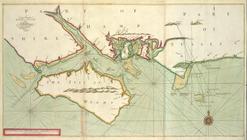
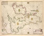
A large draught of the ISLE o…
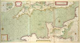
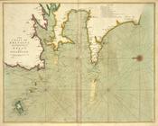
The sea-coasts of FRANCE from…
The sea-coast of FRANCE from …
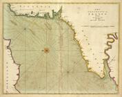
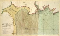
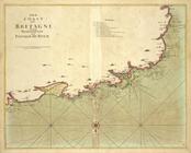
The coast of BRETAGNE from GR…
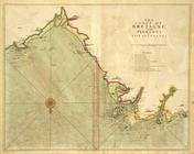
The coast of BRETAGNE from Pl…
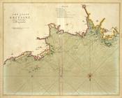
The coast of BRETAGNE from I …
The coast of BRETAGNE from Pl…
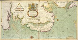
The coast of BRETAGNE includi…
A chart of the sea coast from…
A chart of the sands, shoals,…
…
Channel
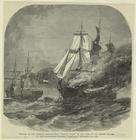
by the Confederate
Het Canaal tusschen Engeland …
A draught of the harbour of B…
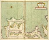
Paskaert van't in comen van't…
Paskaert van de Zeeusche en V…
Pas-caart va Canaal vertoonen…
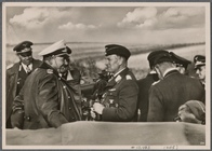
With unwavering dedication, t…
note:
… across the
Channel
. Note
m
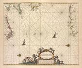
A chart of the British
Channel
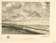
Les grèves de Tombelaine et d…
Les grèves de Tombelaine et d…
A chart of Delaware Bay and R…
collection:
… of
English
maps, charts
End of results
|
Top