Click to visit the main New York Public Library Homepage
The New York Public Library
Digital Collections
About Digital Collections
Browse
Search only public domain materials
Items
Collections
Divisions
Home
Search
Browse
About
Search only public domain materials
Items
Collections
Divisions
Digital Collections
Using Images
Using Data
Search
Filtered keyword search
Show filters
Hide filters
Show Only Public Domain
topic
Real property
391
City planning
56
Streets
16
Piers
13
Administrative and political divisions
12
More
Less
name
G.W. Bromley & Co
439
Bromley, George Washington
372
Bromley, Walter Scott
371
E. Robinson Co
23
Mueller, A. H. (August H.)
23
More
Less
collection
Atlases of New York City
463
Maps of New York City and State
86
Lawrence H. Slaughter Collection of English maps, charts, globes, books and atlases
4
The Eno collection of New York City views
4
Collection of broadside real estate maps announcing auctions of lots in early 19th century New York City
3
More
Less
place
x
Manhattan (New York, N.Y.)
New York (State)
506
New York
464
New York (N.Y.)
267
Manhattan
54
More
Less
genre
Maps
541
Manuscript maps
14
Index maps
10
Title pages
10
Indexes
9
More
Less
publisher
G.W. Bromley & Co
391
G.W. Bromley
49
E. Robinson Co
23
publisher not identified
4
G.W. & C.B. Colton & Co
3
More
Less
division
Map Division
558
Wallach Division: Print Collection
4
Milstein Division
2
Wallach Division: Art & Architecture Collection
2
Manuscripts and Archives Division
1
type
cartographic
554
text
25
still image
8
Date Range
to
567 results found for:
x
Plans
Filtering on:
x
Place
: Manhattan (New York, N.Y.)
Sort by:
Relevance
Title
Date created
Date digitized
Sequence
m
… York apartment
plans
m
… York apartment
plans
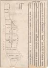
Proposed iron viaduct from Sa…
topic:
Designs and
plans
… surveys and official
plans
…
… surveys and official
plans
4
plans
of the City of New York showing
… Surveys and official
plans
…
plans
& actual surveys …
… surveys and official
plans
… surveys and official
plans
… and official
plans
… and official
plans
… surveys and official
plans
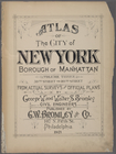
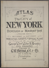
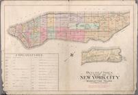
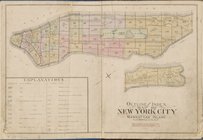
Atlas of the city of New York…
note:
From actual surveys and official
plans
by George W
m
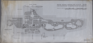
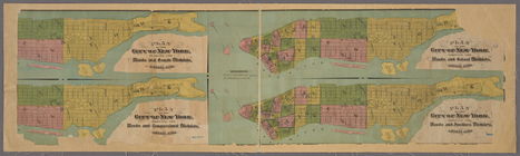
Plan
superimposed on central portion
Part of Section 1, Plate 3
collection:
… surveys and official
plans
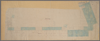
Manuscript map of building at…
note:
Shows ground
plans
of building and surrounding
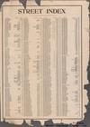
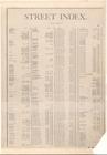
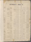
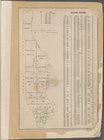
STREET INDEX. Arlington Squar…
collection:
… surveys and official
plans
Street Index. High Bridge Ter…
collection:
… surveys and official
plans
STREET INDEX [1] [Academy Pl…
collection:
… surveys and official
plans
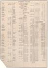
Street Index [2], [Hudson Str…
collection:
… surveys and official
plans
Atlas of the City of New York…
note:
from actual surveys and official
plans
by George W
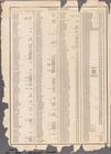
Street Index
collection:
… surveys and official
plans
Block Index
collection:
… surveys and official
plans
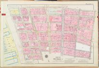
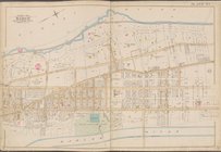
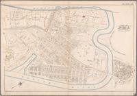
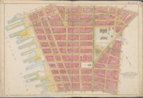
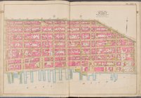
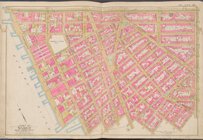
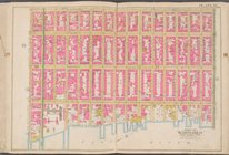
Map bounded by Hudson River, …
collection:
… surveys and official
plans
Map bounded by Hudson River, …
collection:
… surveys and official
plans
Outline and Index Map of Atla…
collection:
… surveys and official
plans
BLOCK INDEX. [Includes the ma…
collection:
… surveys and official
plans
Bounded by Boulevard Lafayett…
collection:
… surveys and official
plans
Outline and Index map of New …
collection:
… surveys and official
plans
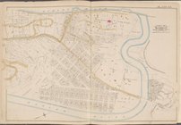
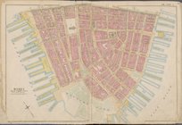
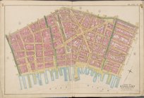
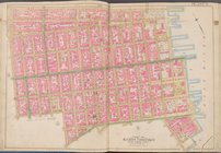
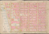
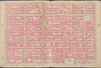
Map bounded by Liberty St., M…
collection:
… surveys and official
plans
Map bounded by Jay St., Thoma…
collection:
… surveys and official
plans
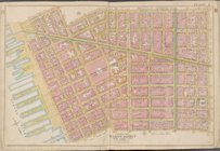
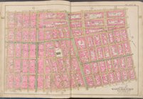
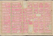
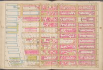
Map bounded by William St., P…
collection:
… surveys and official
plans
Map bounded by Spring St., Br…
collection:
… surveys and official
plans
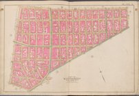
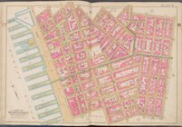
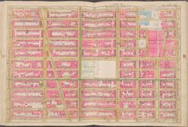
Map bounded by Broome St., Di…
collection:
… surveys and official
plans
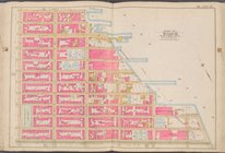
Map bounded by Division St., …
collection:
… surveys and official
plans
Map bounded by E. 3rd St., Ea…
collection:
… surveys and official
plans
Map bounded by W. 3rd St., E.…
collection:
… surveys and official
plans
Map bounded by Charles St., W…
collection:
… surveys and official
plans
Map bounded by W. 14th St., 6…
collection:
… surveys and official
plans
Map bounded by E. 14th St., 1…
collection:
… surveys and official
plans
Map bounded by E. 14th St., E…
collection:
… surveys and official
plans
Map bounded by W. 25th St., 7…
collection:
… surveys and official
plans
Map bounded by W. 25th St., 2…
collection:
… surveys and official
plans
Map bounded by E. 25th St., E…
collection:
… surveys and official
plans
Map bounded by Lexington Ave.…
collection:
… surveys and official
plans
Map bounded by E. 36th St., L…
collection:
… surveys and official
plans
Map bounded by W. 36th St., 8…
collection:
… surveys and official
plans
Map bounded by W. 47th St., 8…
collection:
… surveys and official
plans
Map bounded by W. 47th St., L…
collection:
… surveys and official
plans
1
2
3
Previous
Next
1
2
3
Previous
Next