Click to visit the main New York Public Library Homepage
The New York Public Library
Digital Collections
About Digital Collections
Browse
Search only public domain materials
Items
Collections
Divisions
Home
Search
Browse
About
Search only public domain materials
Items
Collections
Divisions
Digital Collections
Using Images
Using Data
Search
Filtered keyword search
Show filters
Hide filters
Show Only Public Domain
topic
Real property
4
Bridges
3
Boats
1
Cities & towns
1
Educational facilities
1
More
Less
name
E. Belcher Hyde Map Company
2
E.B. Hyde & Co
2
Sperr, Percy Loomis, 1890-1964
2
Ullitz, Hugo
2
Culver Line
1
More
Less
collection
Photographic views of New York City, 1870's-1970's, from the collections of the New York Public Library
6
Atlases of New York City
3
Maps of New York City and State
1
place
x
New York (State)
New York
8
New York (N.Y.)
6
Brooklyn (New York, N.Y.)
5
Coney Island Creek (N.Y.)
5
More
Less
genre
Photographs
6
Maps
4
Manuscript maps
1
publisher
E. Belcher Hyde
2
New York and Sea Beach Railroad
1
Sanborn Map Company
1
division
Milstein Division
6
Map Division
4
type
still image
6
cartographic
4
Date Range
to
10 results found for:
x
Coney Island Creek (N.Y.)
Filtering on:
x
Place
: New York (State)
Sort by:
Relevance
Title
Date created
Date digitized
Sequence
m
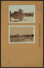
Coney
Island
Creek
- West 20th Street
m
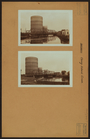
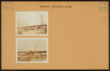
Bridges - Bridge over
Coney
Island
Creek
.
m
Bridges - Bridge over
Coney
Island
Creek
.
m
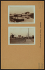
Brooklyn: Neptune Avenue - 8t…
m
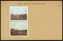
Brooklyn: Shell Road - Dewey …
m
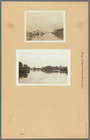
Coney
Island
Creek
(Brooklyn)…
m
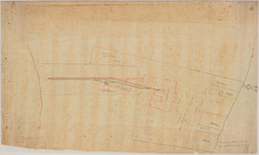
Map of the route of the New Y…
….,
Coney
Island
Creek
….; Including Shell Road,
Coney
Island
Creek
, Avenue Z]
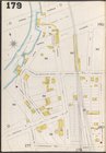
…., Sheepshead Bay,
Coney
Island
Creek
, E. 13th St.]