Click to visit the main New York Public Library Homepage
The New York Public Library
Digital Collections
About Digital Collections
Browse
Search only public domain materials
Items
Collections
Divisions
Home
Search
Browse
About
Search only public domain materials
Items
Collections
Divisions
Digital Collections
Using Images
Using Data
Search
Filtered keyword search
Show filters
Hide filters
Show Only Public Domain
topic
Nautical charts
3
Harbors
2
Waterfronts
2
Coasts
1
Forests and forestry
1
More
Less
name
U.S. Coast and Geodetic Survey
5
Gannett, Henry, 1846-1914
2
Geological Survey (U.S.)
2
Jennings, J. H
2
Wilson, Herbert M. (Herbert Michael), 1860-1920
2
More
Less
collection
Maps of New York City and State
6
Atlases of the United States
1
Maps of North America
1
place
x
New York (State)
New York
2
New York Harbor (N.Y. and N.J.)
2
New York Metropolitan Area
2
Adirondack Mountain Reserve (N.Y.)
1
More
Less
genre
Maps
8
Topographic maps
3
Atlases
1
Nautical charts
1
publisher
U.S. Coast and Geodetic Survey
3
U.S. Geological Survey
2
Bien, Joseph R
1
Geological Survey of New Jersey
1
U.S. Dept. of Commerce, National Oceanic and Atmospheric Administration, National Ocean Service, Coast Survey
1
division
Map Division
8
type
cartographic
8
Date Range
to
8 results found for:
x
U.S. Coast and Geodetic Survey
Filtering on:
x
Place
: New York (State)
Sort by:
Relevance
Title
Date created
Date digitized
Sequence
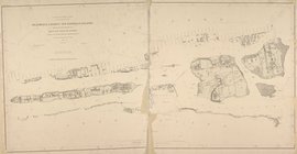
Blackwell's, Ward's and Randa…
use:
Can be
used
on NYPL website
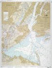
Bay and harbor of New York
use:
Can be
used
on NYPL website
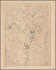
Albany and vicinity
use:
Can be
used
on NYPL website
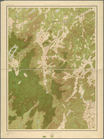
Land classification map, New …
use:
Can be
used
on NYPL website
A topographical map of a part…
use:
Can be
used
on NYPL website
Coast
chart
use:
Can be
used
on NYPL website
… on the triangulations of the
U
.
S
.
Coast
and
geodetic
survey
,
U
.
S
.
use:
Can be
used
on NYPL website
m
United States--east
coast
, New York--New
use:
Can be
used
on NYPL website