Click to visit the main New York Public Library Homepage
The New York Public Library
Digital Collections
About Digital Collections
Browse
Search only public domain materials
Items
Collections
Divisions
Home
Search
Browse
About
Search only public domain materials
Items
Collections
Divisions
Digital Collections
Using Images
Using Data
Search
Filtered keyword search
Show filters
Hide filters
Show Only Public Domain
topic
Real property
446
Fire insurance
388
Cities & towns
303
Libraries
133
City planning
69
More
Less
name
Sperr, Percy Loomis, 1890-1964
569
Sanborn Map Company
388
New York Public Library
133
M.I.T. Press
68
New York (N.Y.). City Planning Commission
68
More
Less
collection
Photographic views of New York City, 1870's-1970's, from the collections of the New York Public Library
570
Atlases of New York City
495
New York Public Library Visual Materials
133
Wallach Division Picture Collection
37
Maps of New York City and State
30
More
Less
place
x
New York (State)
New York
967
New York (N.Y.)
884
Staten Island (New York, N.Y.)
752
Clove Lakes Park (New York, N.Y.)
39
More
Less
genre
Photographs
760
Maps
525
Prints
48
Stereographs
10
captions
8
More
Less
publisher
Sanborn Map Company
303
Sanborn Map Co
84
MIT Press
68
E. Robinson Co
37
G.W. & C.B. Colton & Co
4
More
Less
division
Milstein Division
583
Map Division
525
NYPL Archives
133
Wallach Division: Photography Collection
50
Wallach Division: Picture Collection
32
More
Less
type
still image
904
cartographic
455
text
7
moving image
1
Date Range
to
1,364 results found for:
x
staten island
Filtering on:
x
Place
: New York (State)
Sort by:
Relevance
Title
Date created
Date digitized
Sequence
m
… (
Staten
Island
Staten
Island
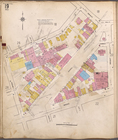
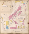
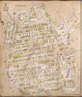
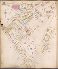
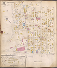
, V. 1, Plate No. 6 [Map bounded
Staten
Island
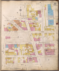
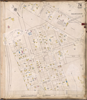
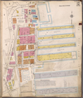
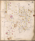
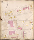
, V. 1, Plate No. 8 [Map bounded
Staten
Island
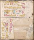
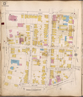
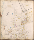
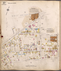
, V. 1, Plate No. 14 [Map
Staten
Island
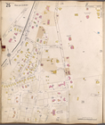
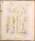
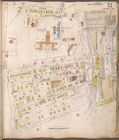
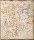
, V. 1, Plate No. 19 [Map
Staten
Island
, V. 1, Plate No. 20 [Map
Staten
Island
, V. 1, Plate No. 22 [Map
Staten
Island
, V. 1, Plate No. 25 [Map
Staten
Island
, V. 1, Plate No. 26 [Map
Staten
Island
, V. 1, Plate No. 28 [Map
Staten
Island
, V. 1, Plate No. 29 [Map
Staten
Island
, V. 1, Plate No. 30 [Map
Staten
Island
, V. 1, Plate No. 31 [Map
Staten
Island
, V. 1, Plate No. 34 [Map
Staten
Island
, V. 1, Plate No. 36 [Map
Staten
Island
, V. 1, Plate No. 49 [Map
Staten
Island
, V. 1, Plate No. 50 [Map
Staten
Island
, V. 1, Plate No. 67 [Map
Staten
Island
, V. 1, Plate No. 71 [Map
Staten
Island
, V. 1, Plate No. 74 [Map
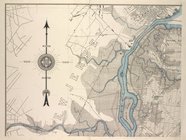
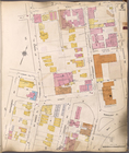
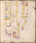
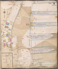
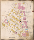
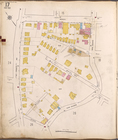
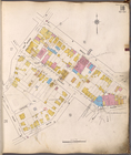
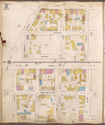
Borough of Richmond Insurance maps
Staten
Island
Staten
Island
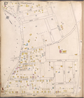
, V. 1, Plate No. 1 [Map bounded
Staten
Island
, V. 1, Plate No. 2 [Map bounded
Staten
Island
, V. 1, Plate No. 3 [Map bounded
Staten
Island
, V. 1, Plate No. 4 [Map bounded
Staten
Island
, V. 1, Plate No. 5 [Map bounded
Staten
Island
, V. 1, Plate No. 7 [Map bounded
Staten
Island
, V. 1, Plate No. 9 [Map bounded
Staten
Island
, V. 1, Plate No. 10 [Map
Staten
Island
, V. 1, Plate No. 11 [Map
Staten
Island
, V. 1, Plate No. 12 [Map
Staten
Island
, V. 1, Plate No. 13 [Map
Staten
Island
, V. 1, Plate No. 15 [Map
Staten
Island
, V. 1, Plate No. 16 [Map
Staten
Island
, V. 1, Plate No. 17 [Map
Staten
Island
, V. 1, Plate No. 18 [Map
Staten
Island
, V. 1, Plate No. 21 [Map
Staten
Island
, V. 1, Plate No. 23 [Map
Staten
Island
, V. 1, Plate No. 24 [Map
Staten
Island
, V. 1, Plate No. 27 [Map
Staten
Island
, V. 1, Plate No. 32 [Map
Staten
Island
, V. 1, Plate No. 33 [Map
Staten
Island
, V. 1, Plate No. 35 [Map
Staten
Island
, V. 1, Plate No. 37 [Map
Staten
Island
, V. 1, Plate No. 38 [Map
Staten
Island
, V. 1, Plate No. 39 [Map
Staten
Island
, V. 1, Plate No. 40 [Map
Staten
Island
, V. 1, Plate No. 41 [Map
Staten
Island
, V. 1, Plate No. 42 [Map
Staten
Island
, V. 1, Plate No. 43 [Map
1
2
3
4
5
6
Previous
Next
1
2
3
4
5
6
Previous
Next