Click to visit the main New York Public Library Homepage
The New York Public Library
Digital Collections
About Digital Collections
Browse
Search only public domain materials
Items
Collections
Divisions
Home
Search
Browse
About
Search only public domain materials
Items
Collections
Divisions
Digital Collections
Using Images
Using Data
Search
Filtered keyword search
Show filters
Hide filters
Show Only Public Domain
topic
History
58
Nautical charts
21
Landowners
15
Railroads
15
Fortification
12
More
Less
name
United States Coast Survey
36
Bache, A. D. (Alexander Dallas), 1806-1867
27
American Civil War (1861-1865)
26
Krebs, Charles G
12
Lindenkohl, H. (Henry)
11
More
Less
collection
Maps of North America
135
Lawrence H. Slaughter Collection of English maps, charts, globes, books and atlases
6
Atlases, gazetteers, guidebooks and other books
1
place
x
Virginia
United States
26
Richmond Region (Va.)
20
Richmond (Va.)
17
Maryland
15
More
Less
genre
Maps
142
Nautical charts
20
Bathymetric maps
17
Cadastral maps
9
Military maps
8
More
Less
publisher
U.S. Coast Survey Office
16
U.S. Coast Survey
13
publisher not identified
13
Published by authority of the Hon. the Secretary of War, Office of the Chief of Engineers, U.S. Army
6
United States Coast Survey
5
More
Less
division
Map Division
142
type
x
cartographic
text
2
still image
1
Date Range
to
142 results found for:
x
17
Filtering on:
x
Place
: Virginia
x
Type
: cartographic
Sort by:
Relevance
Title
Date created
Date digitized
Sequence
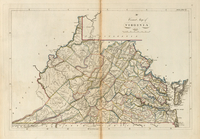
A correct map of Virginia
note:
In upper right corner:
17
.
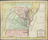
Carte de la Virginie et du Ma…
Virginia
A new map of Virginia : from …
United States of Nth. America…
note:
….
17
.
Plan of the investment & atta…
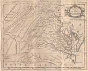
A new map of Virginia and Mar…
A new map of Virginia : from …
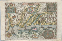
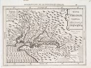
Nova Virginiae tabvla
A new map of Virginia from th…
m
Map of Elizabeth City Co., Va…
first:
e
17
c9710-537f-0135-9cf3-39e97f969568
D'Engelze volkplanting in Vir…
Map shewing the position of t…
note:
Scale approximately 1:
17
,000 (W 77°25ʹ59ʺ--W
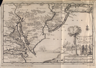
Map of Atlantic, Mississippi …
Map of Rockingham County, Vir…
Central Virginia
Map of York River, Virginia :…
Plan of the seat of war : [Vi…
Map of part of Fauquier Count…
Map of part of the Shenandoah…
Map of the proposed line of r…
Map of routes & distances to …
Approach of the Union Armies …
Half of an unidentified map s…
Sketch D showing the progress…
Map & profile of a ship canal…
Octagonal map of the environs…
Map of the city of Richmond, …
Plan of the siege of York Tow…
Colton's new topographical ma…
Middle Virginia and North Car…
Preliminary chart of Hampton …
Map of lands belonging to Jam…
A map of the Virginia Central…
Copy of a ms. map of a portio…
m
A map of the Richmond & Alleg…
Map of Virginia and West Virg…
Plan of York Town in Virginia…
Albemarle and Chesapeake Cana…
Map of eastern Virginia
Map of eastern Virginia : com…
Sketch exhibiting the approac…
To His Excellency Genl. Washi…
A carefully prepared map of t…
Map of Rockingham County, Vir…
A map and chart of those part…
South West-Virginia mineral r…
Gray's new map of Hampton, El…
Seat of war in Virginia : she…
m
Central Virginia