Click to visit the main New York Public Library Homepage
The New York Public Library
Digital Collections
About Digital Collections
Browse
Search only public domain materials
Items
Collections
Divisions
Home
Search
Browse
About
Search only public domain materials
Items
Collections
Divisions
Digital Collections
Using Images
Using Data
Search
Filtered keyword search
Show filters
Hide filters
Show Only Public Domain
name
Smith, John, 1580-1631
8
Gryp, Dirck
2
Hondius, Jodocus, 1563-1612
2
Keere, Pieter van den, approximately 1571-approximately 1624
2
Blaeu, Willem Janszoon, 1571-1638
1
More
Less
collection
Lawrence H. Slaughter Collection of English maps, charts, globes, books and atlases
7
John H. Levine Collection
1
place
x
Virginia -- Maps -- Early works to 1800
Chesapeake Bay (Md. and Va.) -- Maps -- Early works to 1800
1
Maryland -- Maps -- Early works to 1800
1
genre
Maps
8
publisher
Apud Iohannes Ianssonium van Waesberge,
1
C. Rötel,
1
Ex Officina Guiljelmi Blaeuw,
1
Ex Officina Judoci Hondij,
1
Ex officina Henrici Hondii,
1
More
Less
division
Map Division
8
type
cartographic
8
Date Range
to
8 results found for:
x
Smith, John, 1580-1631
Filtering on:
x
Place
: Virginia -- Maps -- Early works to 1800
Sort by:
Relevance
Title
Date created
Date digitized
Sequence
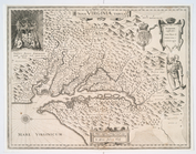
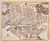
Nova Virginiae tabvla
note:
Derivative of
John
Smith
's map of Virginia
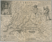
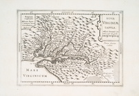
Virginia
note:
Deriative 3 of
Smith
's map of Virginia
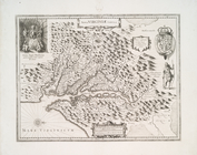
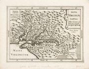
Virginia
note:
Deriative 6 of
Smith
's map of Virginia
Nova Virginiae tabvla.
note:
Based on
John
Smith
Nova Virginiae tabula.
note:
… of the
Smith
map of Virginia.--Verner in
Smith
Nova Virginiae tabula
note:
Deriative 4, State 3 of
Smith
's map
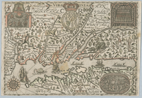
Nova Virginiae tabvla
note:
Derivative 4 of
Smith
's map of Virginia
Nova Virginiae tabvla
note:
… on
John
Smith
's map