Click to visit the main New York Public Library Homepage
The New York Public Library
Digital Collections
About Digital Collections
Browse
Search only public domain materials
Items
Collections
Divisions
Home
Search
Browse
About
Search only public domain materials
Items
Collections
Divisions
Digital Collections
Using Images
Using Data
Search
Filtered keyword search
Show filters
Hide filters
Show Only Public Domain
topic
x
Real property
Maps
6
name
G.W. Bromley & Co
184
Bromley, George Washington
60
Bromley, Walter Scott
60
collection
Atlases of New York City
99
Atlases of the United States
85
place
New York (State)
184
Manhattan (New York, N.Y.)
89
New York
89
Westchester County
85
Westchester County (N.Y.)
85
More
Less
genre
Maps
182
Atlases
85
Index maps
31
Outline maps
10
Indexes
3
More
Less
publisher
x
G.W. Bromley & Co
division
Map Division
184
type
cartographic
182
text
5
Date Range
to
184 results found for:
x
North Hempstead (N.Y. : Town) -- Maps
Filtering on:
x
Publisher
: G.W. Bromley & Co.
x
Topic
: Real property
Sort by:
Relevance
Title
Date created
Date digitized
Sequence
… [
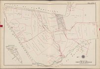
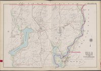
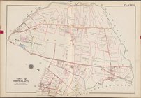
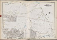
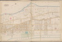
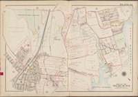
Map
bounded by Part of the
Towns
of Poundridge
… [
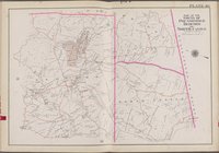
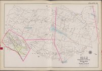
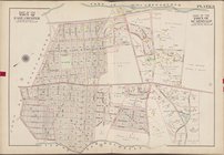
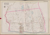
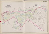
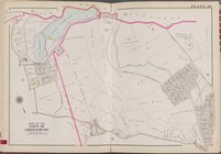
Map
bounded by Part of the
Towns
of
North
Castle
… [
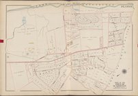
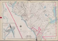
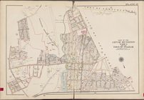
Map
bounded by
Town
… [
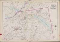
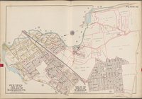
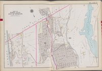
Map
bounded by Part of the
town
of York
Town
…
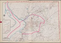
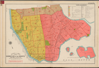
Map
, Borough of the Bronx.
North
of 172nd
topic:
Maps
…
Map
, Borough of the Bronx.
North
of 172nd
topic:
Maps
… [
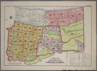
Map
bounded by Part of the
Towns
of York
Town
… [
Map
bounded by Cortlandt York
Town
, Village
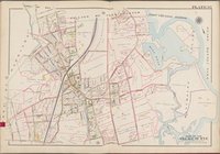
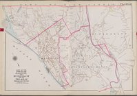
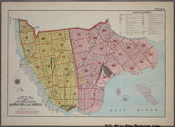
… [
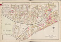
Map
bounded by City
… [
Map
bounded by
Town
… [
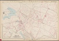
Map
bounded by
Town
of Greenburg,
Town
of White
… [
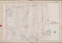
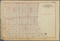
Map
bounded by Part of the
towns
of Somers
… [
Map
bounded by Putnam County,
North
Salem]
… [
Map
bounded by Putnam County, York
Town
, Hudson
… [
Map
bounded by
Town
… [
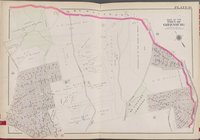
Map
bounded by State
… [
Map
bounded by Toen of Harrison,
Town
of Scarsdale
… [
Map
bounded by Midland
… [
Map
bounded by Hudosn River, York
Town
, New
… [
Map
bounded by
Town
… [
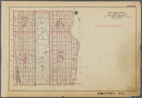
Map
bounded by Grassy Sprain Rd.,
Town
… [
Map
bounded by Mt
… [
Map
bounded by
Town
… [
Map
bounded by
Town
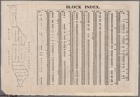
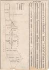
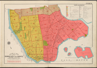
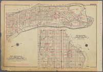
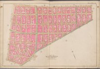
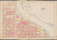
Block Index [With the Manhattan
map
on the left]
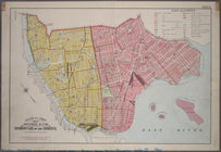
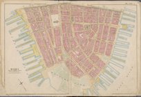
Map
bounded by Hudson River, Harlem
Map
bounded by Hudson River, Harlem
… [
Map
bounded by
Town
… [
Map
bounded
…, Penna.
N
.
Y
. and L.I.R.R
collection:
…, Penna.
N.Y
. and L.I.R.R
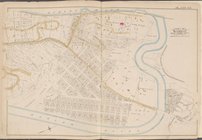
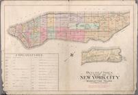
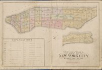
Outline and Index
Map
of Atlas of New
… [
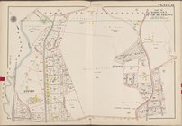
Map
bounded by Mt. Pleasant,
N
. Broadway
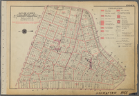
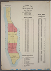
BLOCK INDEX. [Includes the
map
Outline & Index
Map
: Sections 9 and 10, Borough
Outline and Index
Map
, Sections 9 and 10
note:
Includes 37 pages of text and 19
maps
.
Outline and Index
map
of New York City
… [
Map
bounded by
North
… [
Map
bounded by
Town
Outline and Index
Map
, Borough
topic:
Maps
Outline and Index
Map
of Borough
Outline and Index
Map
, Borough
topic:
Maps
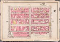
Outline & Index
Map
: Sections 11, 12 and 13
…
Map
of Borough
Map
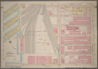
bounded by Liberty St., Maiden Lane
Map
bounded by Broome St., Division St
… and (
N
.
Y
.C. & H.R.R.C.R
collection:
… and (
N.Y
.C. & H.R.R.C.R
Outline and Index
Map
of Borough
Outline and Index
Map
of Borough
Map
bounded by Harlem River, E.125th St
Outline
map
of large scale real estate