Click to visit the main New York Public Library Homepage
The New York Public Library
Digital Collections
About Digital Collections
Browse
Search only public domain materials
Items
Collections
Divisions
Home
Search
Browse
About
Search only public domain materials
Items
Collections
Divisions
Digital Collections
Using Images
Using Data
Search
Filtered keyword search
Show filters
Hide filters
Show Only Public Domain
topic
Real property
184
Maps
14
name
G.W. Bromley & Co
415
Bromley, George Washington
288
Bromley, Walter Scott
288
collection
Atlases of New York City
331
Atlases of the United States
85
place
New York (State)
188
New York (N.Y.)
148
Bronx (New York, N.Y.)
141
Manhattan (New York, N.Y.)
93
New York
93
More
Less
genre
Maps
413
Atlases
85
Index maps
37
Outline maps
10
Indexes
4
More
Less
publisher
x
G.W. Bromley & Co
division
Map Division
416
type
cartographic
413
text
6
Date Range
to
416 results found for:
x
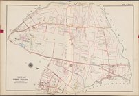
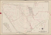
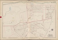
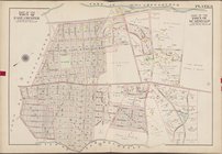
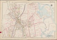
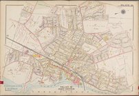
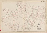
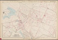
North Hempstead (N.Y. : Town) -- Maps
Filtering on:
x
Publisher
: G.W. Bromley & Co.
Sort by:
Relevance
Title
Date created
Date digitized
Sequence
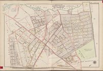
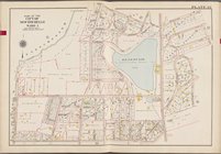
… Street, [...] Avenue
N
topic:
Maps
…. 104th Street, Avenue
N
topic:
Maps
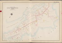
Outline
Map
of the Borough of Brooklyn, City
topic:
Maps
…, Meeker Avenue,
N
. Henry
topic:
Maps
… Avenue, Herbert Street,
N
topic:
Maps
….,
N
. Eleventh St., Driggs Ave.,
N
. Ninth St
topic:
Maps
… by Metropolitan Ave., Kent Ave.,
N
. Third St., Wythe Ave.,
N
topic:
Maps
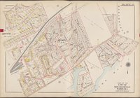
Outline
map
of the Borough of Brooklyn City
topic:
Maps
… and Co., 147
N
. Fifth St
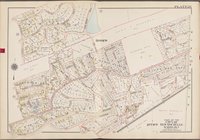
… [
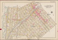
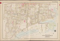
Map
bounded by Park
… [
Map
bounded
… [
Map
bounded by Central
… [
Map
bounded by Fisher
… [
Map
bounded by Smith
… [
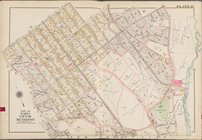
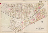
Map
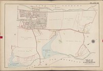
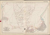
bounded by Toen of Harrison,
Town
of Scarsdale
… [
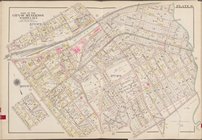
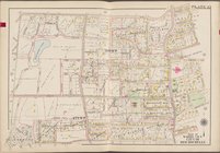
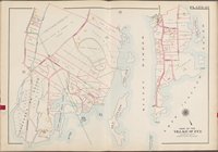
Map
bounded by City
… [
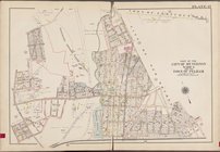
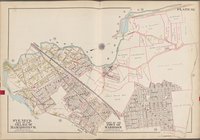
Map
bounded by
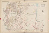
Town
of Greenburg,
Town
of White
… [
Map
bounded by
Town
… [
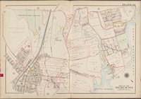
Map
bounded by City
… [
Map
bounded by New
… [
Map
bounded by
Town
… [
Map
bounded by Grand
… [
Map
bounded by W
… [
Map
bounded by Warren
… [
Map
bounded
… [
Map
bounded by
Town
… [
Map
bounded by City
… [
Map
bounded
… [
Map
bounded by Main St
… [
Map
bounded
… [
Map
bounded
… [
Map
bounded
… [
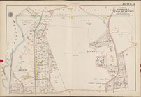
Map
bounded by Titus
… [
Map
bounded
… [
Map
bounded
… [
Map
bounded
… [
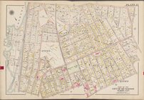
Map
bounded by East
… [
Map
bounded by Weaver
… [
Map
bounded
… [
Map
bounded by Griffin
… [
Map
bounded by
Town
… [
Map
bounded by Long
… [
Map
bounded by
North
… [
Map
bounded by
Town
… [
Map
bounded by Ridge
… [
Map
bounded by White
… [
Map
bounded by State
… and Co., 147
N
. Fifth St
… [
Map
bounded
… [
Map
bounded by High St
1
2
Previous
Next
1
2
Previous
Next