Click to visit the main New York Public Library Homepage
The New York Public Library
Digital Collections
About Digital Collections
Browse
Search only public domain materials
Items
Collections
Divisions
Home
Search
Browse
About
Search only public domain materials
Items
Collections
Divisions
Digital Collections
Using Images
Using Data
Search
Filtered keyword search
Show filters
Hide filters
Show Only Public Domain
name
Burr, David H., 1803-1875
54
collection
Atlases of the United States
54
place
New York (State)
54
Albany County (N.Y.) -- Maps
1
Allegany County (N.Y.)
1
Brooklyn (New York, N.Y.) -- Maps
1
Broome County (N.Y.)
1
More
Less
genre
Atlases
54
Maps
54
publisher
x
For sale by the principal booksellers
division
Map Division
54
type
cartographic
54
Date Range
to
54 results found for:
x
Kent (Ont. : County)
Filtering on:
x
Publisher
: For sale by the principal booksellers
x
Rights
: Public Domain
Sort by:
Relevance
Title
Date created
Date digitized
Sequence
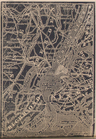
King's
County
, Richmond
County
.
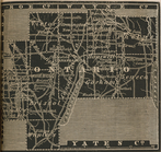
Ontario
County
.
Seneca
County
.
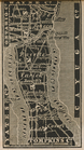
Queen's
County
.
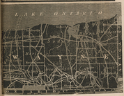
Wayne
County
.
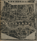
Montgomery
County
.
Niagara
County
.
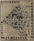
Rockland
County
.
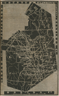
Putnam
County
.
Orleans
County
.
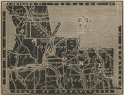
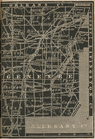
Albany
County
.
Cayuga
County
.
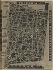
Columbia
County
.
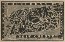
Dutchess
County
.
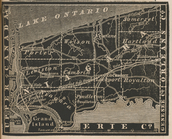
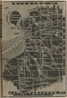
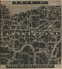
Erie
County
.
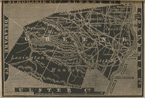
Greene
County
.
Herkimer
County
.
Monroe
County
.
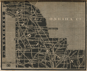
Oneida
County
.
Rensselaer
County
.
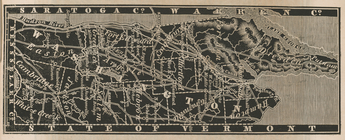
Saratoga
County
.
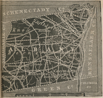
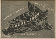
Schenectady
County
.
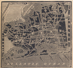
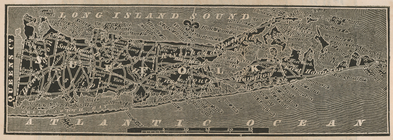
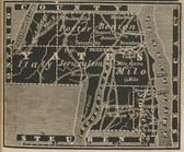
Suffolk
County
.
Ulster
County
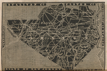
Westchester
County
.
Madison
County
.
Orange
County
.
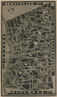
Jefferson
County
.
Allegany
County
.
Broome
County
.
Cattaraugus
County
.
Chautauque
County
.
Chenango
County
.
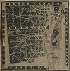
Clinton
County
.
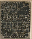
Cortland
County
.
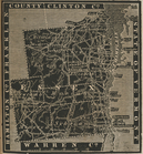
Essex
County
.
Franklin
County
.
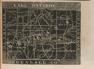
Genesee
County
.
Lewis
County
.
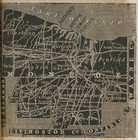
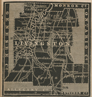
Livingston
County
.
Yates
County
.
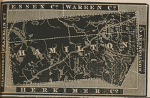
Hamilton
County
.
Warren
County
.
Sullivan
County
.
Washington
County
.
Tompkins
County
.
Schoharie
County
.
Otsego
County
.
Oswego
County
.
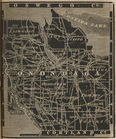
Onondaga
County
.