Click to visit the main New York Public Library Homepage
The New York Public Library
Digital Collections
About Digital Collections
Browse
Search only public domain materials
Items
Collections
Divisions
Home
Search
Browse
About
Search only public domain materials
Items
Collections
Divisions
Digital Collections
Using Images
Using Data
Search
Filtered keyword search
Show filters
Hide filters
Show Only Public Domain
collection
Atlases of New York City
32
genre
Maps
32
Index maps
1
Title pages
1
publisher
x
Perris & Browne
division
Map Division
32
type
cartographic
32
text
1
Date Range
to
32 results found for:
x
Thirde
Filtering on:
x
Publisher
: Perris & Browne
Sort by:
Relevance
Title
Date created
Date digitized
Sequence
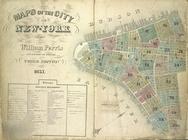
Maps of the City of New York
note:
… and Surveyor
Third
Edition 1857.
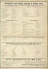
Warehouse for General Storage…
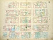
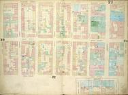
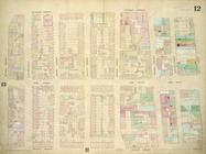
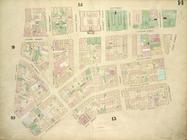
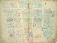
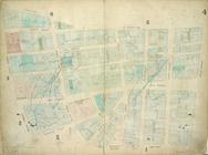
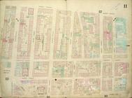
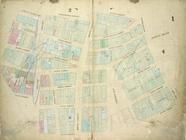
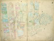
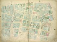
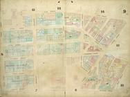
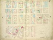
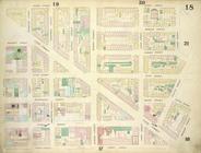
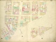
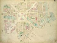
Plate 22: Map bounded by Thom…
Plate 7: Map bounded by Murra…
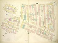
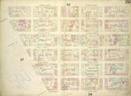
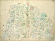
Plate 20: Map bounded by Sull…
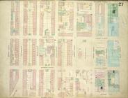
Plate 27: Map bounded by Mont…
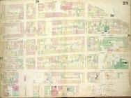
Plate 25: Map bounded by Bowe…
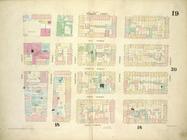
Plate 19: Map bounded by West…
Plate 24: Map bounded by Cros…
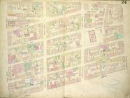
Plate 28: Map bounded by Henr…
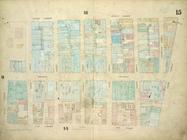
Plate 15: Map bounded by Chur…
Plate 30: Map bounded by Cann…
Plate: 21 Map bounded by W.Ho…
Plate 26: Map bounded by Ludl…
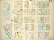
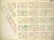
Plate 29: Map bounded by Mont…
Plate 8: Map bounded by Duane…
Plate 12: Map bounded by Rutg…
Plate 6: Map bounded by Broad…
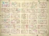
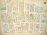
Plate 23: Map bounded by Cana…
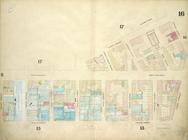
Plate 16: Map bounded by West…
Plate 14: Map bounded by Elm …
Plate 3: Map bounded by Dey S…
Plate 4: Map bounded by Maide…
Plate 11: Map bounded by Mark…
Plate 1: Map bounded by Bowli…
Plate 2: Map bounded by Recto…
Plate 5: Map bounded by Gold …
Plate 9: Map bounded by Pearl…
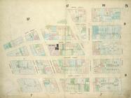
Plate 17: Map bounded by West…
Plate 18: Map bounded by Spri…
Plate 13: Map bounded by Cana…
Plate 10: Map bounded by Jame…
End of results
|
Top