Click to visit the main New York Public Library Homepage
The New York Public Library
Digital Collections
About Digital Collections
Browse
Search only public domain materials
Items
Collections
Divisions
Home
Search
Browse
About
Search only public domain materials
Items
Collections
Divisions
Digital Collections
Using Images
Using Data
Search
Filtered keyword search
Show filters
Hide filters
Show Only Public Domain
topic
Geography
126
Maps
2
Peninsulas
1
World maps
1
name
Coignet, Michel, 1549-1623
126
Ortelius, Abraham, 1527-1598
126
Shawe, James
126
collection
x
Lawrence H. Slaughter Collection of English maps, charts, globes, books and atlases
place
France
6
Europe
3
Italy
3
Africa
2
Africa, North
2
More
Less
genre
Maps
125
pages (components)
1
publisher
x
Printed for Ieames Shawe, and are to be solde at his shoppe nigh Ludgate,
division
Map Division
126
type
cartographic
123
text
2
still image
1
Date Range
to
126 results found for:
x
Charts
Filtering on:
x
Publisher
: Printed for Ieames Shawe, and are to be solde at his shoppe nigh Ludgate,
x
Collection
: 6a373d50-c5d3-012f-a6fb-58d385a7bc34
Sort by:
Relevance
Title
Date created
Date digitized
Sequence
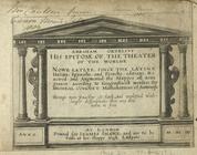
Abraham Ortelius his epitome …
collection:
… of English maps,
charts
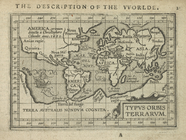
Typus orbis terrarum.
collection:
… of English maps,
charts
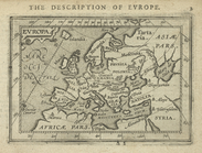
Europa.
collection:
… of English maps,
charts
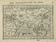
Asia.
collection:
… of English maps,
charts
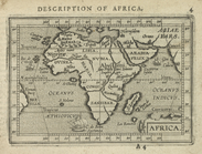
Africa.
collection:
… of English maps,
charts
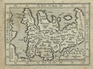
Anglia.
collection:
… of English maps,
charts
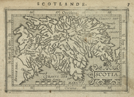
Scotia.
collection:
… of English maps,
charts
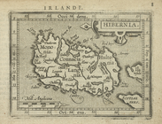
Hibernia.
collection:
… of English maps,
charts
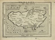
Tercera.
collection:
… of English maps,
charts
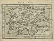
Hispania.
collection:
… of English maps,
charts
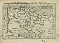
Portugallia.
collection:
… of English maps,
charts
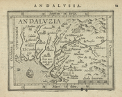
Andaluzia.
collection:
… of English maps,
charts
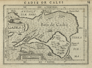
Gades.
collection:
… of English maps,
charts
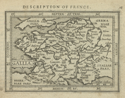
Gallia.
collection:
… of English maps,
charts
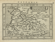
Guasconiæ descriptio.
collection:
… of English maps,
charts
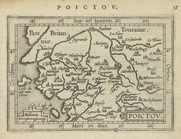
Poictov.
collection:
… of English maps,
charts
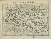
Britannia.
collection:
… of English maps,
charts
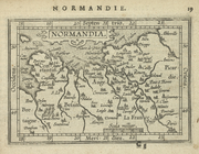
Normandia.
collection:
… of English maps,
charts
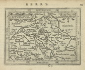
Biturigium.
collection:
… of English maps,
charts
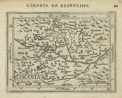
Limania.
collection:
… of English maps,
charts
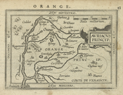
Auriacus Princip[atus].
collection:
… of English maps,
charts
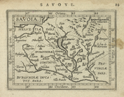
Savoia.
collection:
… of English maps,
charts
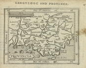
Provincia.
collection:
… of English maps,
charts
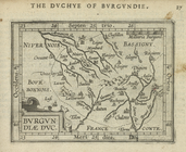
Burgundiae Duc.
collection:
… of English maps,
charts
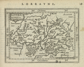
Lotharingia.
collection:
… of English maps,
charts
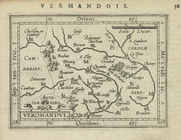
Veromandui.
collection:
… of English maps,
charts
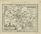
Picardia.
collection:
… of English maps,
charts
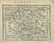
Germania.
collection:
… of English maps,
charts
Gallia Belgica.
collection:
… of English maps,
charts
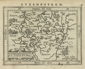
Lutzenburg.
collection:
… of English maps,
charts
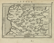
Artesia.
collection:
… of English maps,
charts
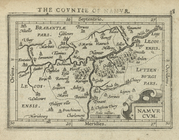
Namurcum.
collection:
… of English maps,
charts
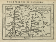
Brabantia.
collection:
… of English maps,
charts
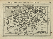
Flandria.
collection:
… of English maps,
charts
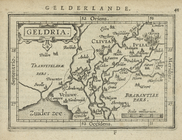
Geldria.
collection:
… of English maps,
charts
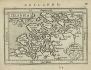
Zelandia.
collection:
… of English maps,
charts
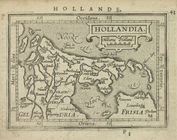
Hollandia.
collection:
… of English maps,
charts
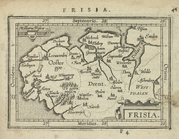
Frisia.
collection:
… of English maps,
charts
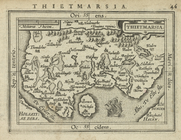
Thietmarsia.
collection:
… of English maps,
charts
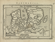
Dania.
collection:
… of English maps,
charts
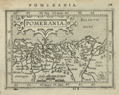
Pomerania.
collection:
… of English maps,
charts
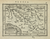
Silesiae Typus.
collection:
… of English maps,
charts
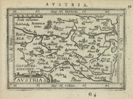
Austria.
collection:
… of English maps,
charts
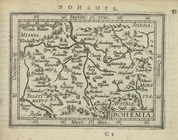
Bohemia.
collection:
… of English maps,
charts
Salisburgensis Archiepiscopat…
collection:
… of English maps,
charts
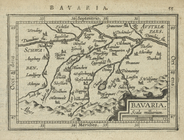
Bavaria.
collection:
… of English maps,
charts
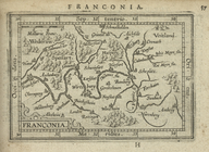
Franconia.
collection:
… of English maps,
charts
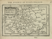
Wirtenberg. Duc.
collection:
… of English maps,
charts
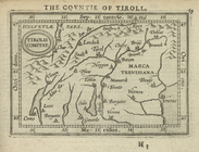
Tirolis Comitat.
collection:
… of English maps,
charts
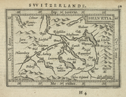
Helvetia.
collection:
… of English maps,
charts