Click to visit the main New York Public Library Homepage
The New York Public Library
Digital Collections
About Digital Collections
Browse
Search only public domain materials
Items
Collections
Divisions
Home
Search
Browse
About
Search only public domain materials
Items
Collections
Divisions
Digital Collections
Using Images
Using Data
Search
Filtered keyword search
Show filters
Hide filters
Show Only Public Domain
topic
Nautical charts
2
Coasts
1
Magnetic declination
1
Winds
1
name
Bellin, Jacques Nicolas, 1703-1772
3
Jaillot, Alexis Hubert, 1632?-1712
3
Robert de Vaugondy, Gilles, 1688-1766
3
Buache, Philippe, 1700-1773
1
Delamarche, Charles François, 1740-1817
1
More
Less
collection
x
John H. Levine Collection
place
North America
4
North America -- Maps -- Early works to 1800
2
United States -- Maps -- Early works to 1800
2
America
1
Atlantic Coast (North America)
1
More
Less
genre
Maps
13
publisher
s.n
3
Bellin
1
Chez Delamarche, géogr
1
Chez Delamarche?,
1
Chez H. Iaillot joignant les grands Augustins aux deux globes
1
More
Less
division
Map Division
13
type
x
cartographic
Date Range
to
13 results found for:
x
Paris
Filtering on:
x
Collection
: John H. Levine Collection
x
Type
: cartographic
For more collection details, visit the
John H. Levine Collection collection page
.
Sort by:
Relevance
Title
Date created
Date digitized
Sequence
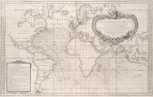
Carte des variations de la bo…
note:
Prime meridian:
Paris
.
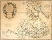
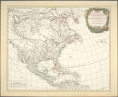
Carte du Canada ou de la Nouv…
note:
Originally published: A
Paris
, Chez
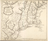
Carte de la Nouvelle Angleter…
note:
Prime meridian:
Paris
.
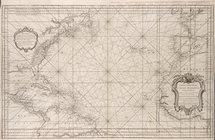
Carte reduite de l'Ocean occi…
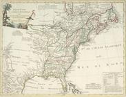
Ètats-Unis de l'Amérique sept…
note:
Prime meridian: Isle de Fer and
Paris
.
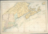
Carte réduite des côtes orien…
note:
Prime meridian:
Paris
.
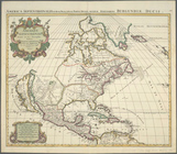
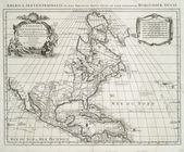
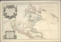
Amerique septentrionale divis…
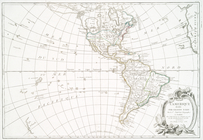
L'Amerique divisée par grands…
Amerique septentrionale divis…
Amérique septentrionale dress…
Amerique septentrionale divis…
Partie de l'Amerique septentr…
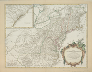
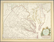
Carte de la Virginie et du Ma…
End of results
|
Top