Click to visit the main New York Public Library Homepage
The New York Public Library
Digital Collections
About Digital Collections
Browse
Search only public domain materials
Items
Collections
Divisions
Home
Search
Browse
About
Search only public domain materials
Items
Collections
Divisions
Digital Collections
Using Images
Using Data
Search
Filtered keyword search
Show filters
Hide filters
Show Only Public Domain
topic
Nautical charts
15
Atlases, British
2
Geography
2
Roads
2
Atlases
1
More
Less
name
Fisher, Joshua, 1707-1783
8
Carey, Mathew, 1760-1839
5
Barker, W. (William), active 1795-1803
4
Laurie & Whittle
3
Morden, Robert, approximately 1650-1703
3
More
Less
collection
x
Lawrence H. Slaughter Collection of English maps, charts, globes, books and atlases
place
Delaware
25
Maryland
17
New Jersey
16
Delaware Bay (Del. and N.J.)
13
Virginia
12
More
Less
genre
Maps
62
publisher
M. Carey,
2
Published ... by Andrew Dury, Duke's Court, St. Martins Lane
2
Rob[er]t Laurie & James Whittle, No. 53 Fleet Street
2
s.n
2
s.n.,
2
More
Less
division
Map Division
62
type
cartographic
62
Date Range
to
62 results found for:
x
Delaware
Filtering on:
x
Collection
: Lawrence H. Slaughter Collection of English maps, charts, globes, books and atlases
For more collection details, visit the
Lawrence H. Slaughter Collection of English maps, charts, globes, books and atlases collection page
.
Sort by:
Relevance
Title
Date created
Date digitized
Sequence
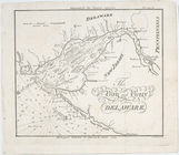
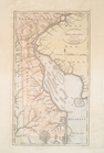
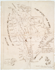
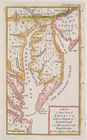
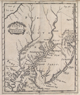
The bay and river of
Delaware
Baye de la
Delaware
avec les ports, sondes
note:
… baye de
Delaware
."…
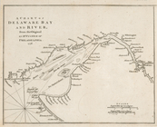
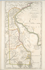
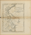
A chart of
Delaware
Bay and River
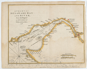
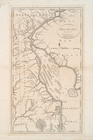
A chart of
Delaware
Bay and River
A chart of
Delaware
Bay and River
A chart of
Delaware
Bay and River
A chart of
Delaware
Bay and River
Delaware
, from the best authorities
note:
Also covers
Delaware
Bay
A chart of
Delaware
Bay and River
note:
… of
Delaware
Bay
Nova Svecia
abstract:
Shows the Swedish settlements on the
Delaware
… Bay to
Delaware
Bay.
note:
… the tide-waters of
Delaware
Delaware
.
note:
… of
Delaware
.
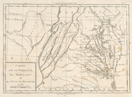
Carte de la baye et riviere de
Délaware
abstract:
Delaware
Bay
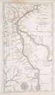
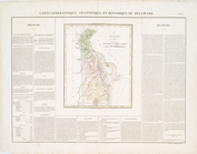
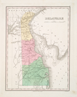
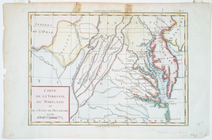
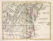
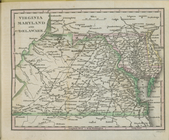
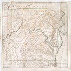
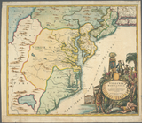
Map of Virginia, Maryland and
Delaware
Delaware
, from the best authorities
Delaware
, from the best authorities.
Delaware
, from the best authorities
A chart of
Delaware
Bay and River
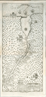
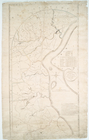
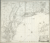
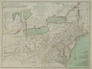
Roads of Newcastle County
A New chart of
Delaware
Bay : wherein
Delaware
Delaware
The Bay and river of
Delaware
A chart of
Delawar
River from Bombay Hook
note:
Includes "A plan of
Delawar
River from Chester
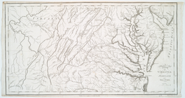
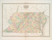
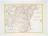
Virginia, Maryland, and
Delaware
… l'etat de
Delaware
Maryland und
Delaware
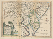
The states of Maryland and
Delaware
, from
Delaware
Delaware
… l'etat de
Delaware
.
…
Delaware
e la parte
A map of that part of America…
note:
…,
Delaware
, and northeastern
A map of Maryland with the
Delaware
counties
…
Delaware
e la parte
A chart of
Delawar
Bay : with soundings
Map of Virginia, Maryland and
Delaware
…
… l'etat de
Delaware
.
…, Maryland,
Delaware
Virginia, Maryland, and
Delaware
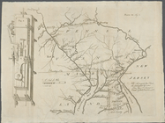
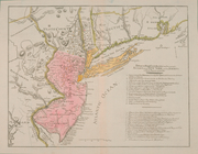
A new map of New Jarsey and P…
note:
…,
Delaware
and part
…,
Delaware
and Pennsylvania
A new and accurate chart (fro…
note:
… and distances from
Delaware
A new map of New Jarsey and P…
note:
…,
Delaware
and part
A new map of New England, New…
note:
…,
Delaware
, eastern Maryland
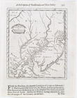
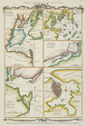
Various plans and draughts of…
Virginia, Marylandia et Carol…
note:
Also covers
Delaware
, southern
…, Maryland,
Delaware
Position der Königl; Grosbrit…
note:
…, Maryland, and
Delaware
.
A new and accurate chart (fro…
note:
… and distances, from
Delaware