Click to visit the main New York Public Library Homepage
The New York Public Library
Digital Collections
About Digital Collections
Browse
Search only public domain materials
Items
Collections
Divisions
Home
Search
Browse
About
Search only public domain materials
Items
Collections
Divisions
Digital Collections
Using Images
Using Data
Search
Filtered keyword search
Show filters
Hide filters
Show Only Public Domain
topic
Geography
436
Atlases
181
History
139
Maps in education
104
Geography, Ancient
71
More
Less
name
Ortelius, Abraham, 1527-1598
127
Coignet, Michel, 1549-1623
126
Shawe, James
126
Montanus, Arnoldus, 1625?-1683
117
Ogilby, John, 1600-1676
116
More
Less
collection
x
Lawrence H. Slaughter Collection of English maps, charts, globes, books and atlases
place
Great Britain
253
America
178
United States
144
West Indies, British
116
North America
114
More
Less
genre
Maps
1218
Title pages
10
Book covers
6
pages (components)
5
Tables of contents
4
More
Less
publisher
Printed for Ieames Shawe, and are to be solde at his shoppe nigh Ludgate,
126
Printed by the author, and are to be had at his house
116
Chapman and Hall
115
Published by Wm. Faden, geographer to His Majesty, and His R.H. the Prince of Wales
58
Printed for John Cary
57
More
Less
division
Map Division
1248
type
cartographic
1101
still image
114
text
84
Date Range
to
Looking for this collection?
Lawrence H. Slaughter Collection of English maps, charts, globes, books and atlases
1,252 items
1,252 results found for:
x
Maps
Filtering on:
x
Collection
: Lawrence H. Slaughter Collection of English maps, charts, globes, books and atlases
For more collection details, visit the
Lawrence H. Slaughter Collection of English maps, charts, globes, books and atlases collection page
.
Sort by:
Relevance
Title
Date created
Date digitized
Sequence
m
A
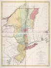
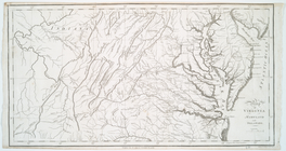
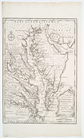
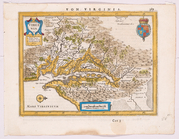
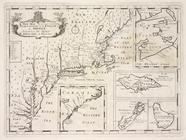
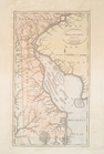
map
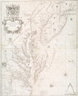
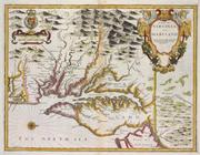
of the provinces of New-York
note:
LC
Maps
of North America, 1750-1789, 1048
Canada et Louisiane
note:
Includes inset
maps
of extensions of Louisiana
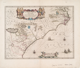
Il Maryland, il Jersey Meridi…
note:
Described in: Research Catalog of
Maps
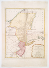
Île de New-York, partie de Lo…
note:
… to Early
Maps
of the Middle
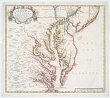
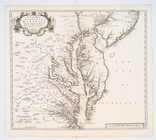
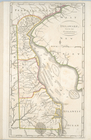
Map
of Virginia, Maryland and Delaware
note:
… to Early
Maps
of the Middle
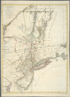
A new
map
of Virginia, Mary-land
note:
… to Early
Maps
of the Middle
Virginiae partis australis et…
note:
Burden, P.D.
Mapping
of North America
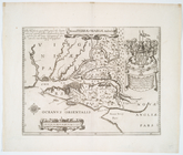
Noua Terrae-Mariae tabula.
note:
… to Early
Maps
of the Middle
A new and accurate
map
of Virginia
note:
Phillips.
Maps
of America, p. 981
A new
map
of Virginia, Mary-land
note:
… On the
map
. (p. 37)…
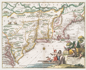
Novi Belgii, quod nunc Novi J…
note:
… to Early
Maps
of the Middle
Carte de l'Amérique septentri…
note:
Variant of LC
Maps
of North America, 1750-1789
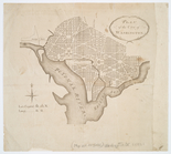
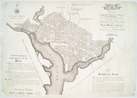
Plan of the city of Washington
note:
… to Early
Maps
of the Middle
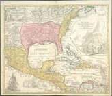
Regni Mexicani seu Novae Hisp…
note:
… to Early
Maps
of the Middle
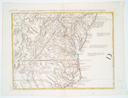
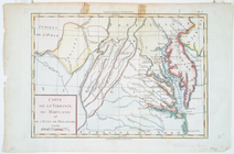
Carte de la Virginie, du Mary…
note:
…'s statement on another
map
Carta particolare della Virgi…
note:
… mare."--Morrison, R. On the
Map
, no
Virginia.
note:
… to Early
Maps
of the Middle
Americae nova descriptio
note:
…., and ancilliary
maps
.
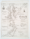
A New chart of Delaware Bay :…
note:
… to Early
Maps
of the Middle
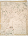
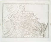
The State of Virginia from th…
note:
… to Early
Maps
of the Middle
A new
map
of Virginia, Maryland
note:
…, merchant, this
map
Virginiae partis australis, e…
note:
… to Early
Maps
of the Middle
Mappa geographica Provinciae …
note:
… to Early
Maps
of the Middle
A
Map
of Carolana and of the River Meschacebe &c.
note:
Inset:
Map
of the mouth of the River
Tabula nouarum insularum, qua…
note:
Burden, P.D.
Mapping
of North America
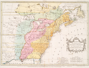
A new
map
of the most considerable
topic:
Maps
in education
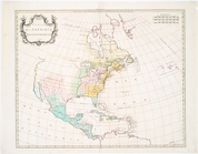
A new
map
of North America from the latest
note:
Copy in
Map
Div. 97-6092: Lawrence H
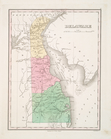
Delaware
note:
… of
maps
.
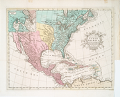
A new and accurate
map
of North America
note:
Jolly, D.C.
Maps
of America in periodicals
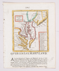
A
map
of Virginia and Maryland
note:
Phillips.
Maps
of America, p. 979
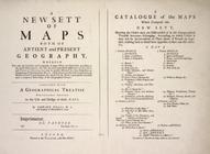
A new sett of
maps
both of antient
topic:
Maps
in education
Carte des possessions anglois…
note:
Karpinski, L.C. Printed
maps
of Michigan
A new
map
of Virginia and Maryland
note:
… On the
Map
.
Delaware, from the best autho…
note:
… to Early
Maps
of the Middle
Delaware, from the best autho…
note:
… to Early
Maps
of the Middle
A New generall chart for the …
note:
… to Early
Maps
of the Middle
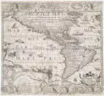
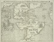
The Earth's Western planisphe…
note:
Circular
map
with the original engraved tissue
New
map
of the world with all the new
note:
… hemisphere
maps
, 2 celestial
maps
, "A projection
Carte des troubles de l'Améri…
collection:
Charts and
maps
Carte de la partie nord, des …
note:
LC
Maps
of North America, 1750-1789, 744
A new
map
of the most considerable
note:
… of
maps
, 1700, and later
A
map
of that part of America where a degree
note:
Copy in
Map
Div. 97-6265: Lawrence H
Carte du Canada et de la Loui…
note:
… to Early
Maps
of the Middle
A
map
of the British-plantations
note:
Modern history "illustrated with cuts and
maps
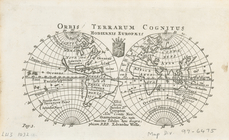
Orbis terrarum cognitus hodie…
note:
… to Early
Maps
of the Middle
A new
map
of the most considerable
note:
… of
maps
, 1700, and later
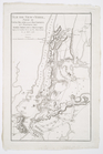
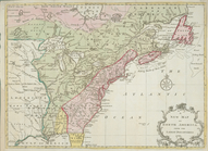
The United States of North Am…
note:
… Cartography,"
Map
Collectors
Plan of the city of Washingto…
note:
… to Early
Maps
of the Middle
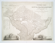
A correct
map
of the city of Washington
note:
Differs from similar
map
in showing
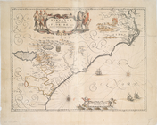
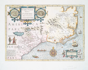
Virginiae item et Floridae Am…
note:
Map
by Hondius, from an English edition
1
2
3
4
5
6
Previous
Next
1
2
3
4
5
6
Previous
Next