Click to visit the main New York Public Library Homepage
The New York Public Library
Digital Collections
About Digital Collections
Browse
Search only public domain materials
Items
Collections
Divisions
Home
Search
Browse
About
Search only public domain materials
Items
Collections
Divisions
Digital Collections
Using Images
Using Data
Search
Filtered keyword search
Show filters
Hide filters
Show Only Public Domain
topic
x
Landowners
Real property
16
Administrative and political divisions
2
Estate
2
Homes and haunts
2
More
Less
name
James Bleecker & Sons
3
Miller & Co
3
Smith, Edwin
3
Desobry, Prosper, -1843
2
Baker, lithographer
1
More
Less
collection
x
Maps of New York City and State
place
New York (State)
17
New York (N.Y.)
13
New York
11
Brooklyn (New York, N.Y.)
5
Brooklyn (New York, N.Y.) -- Maps
5
More
Less
genre
Maps
18
publisher
s.n
2
s.n
2
George Willdey,
1
H. Anstice, 27 Nassau St.,
1
J. Price Lith.,
1
More
Less
division
Map Division
18
type
cartographic
18
text
1
Date Range
to
18 results found for:
x
Middle Atlantic States
Filtering on:
x
Collection
: Maps of New York City and State
x
Topic
: Landowners
For more collection details, visit the
Maps of New York City and State collection page
.
Sort by:
Relevance
Title
Date created
Date digitized
Sequence
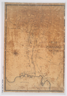
Map of the village of Peekski…
note:
… to Early Maps of the
Middle
Atlantic
Seaboard.
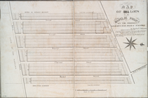
Map of 465 valuable building …
note:
… to Early Maps of the
Middle
Atlantic
Seaboard.
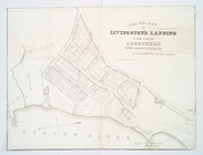
Village of Livingston's Landi…
note:
… to Early Maps of the
Middle
Atlantic
Seaboard.
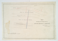
Map showing land required for…
note:
… to Early Maps of the
Middle
Atlantic
Seaboard.
Map showing the old farms : f…
note:
… to Early Maps of the
Middle
Atlantic
Seaboard.
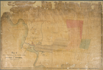
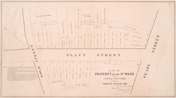
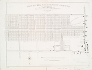
Map of property in the 2nd wa…
note:
… to Early Maps of the
Middle
Atlantic
Seaboard.
Map of the proposed widening …
note:
… to Early Maps of the
Middle
Atlantic
Seaboard.
Map of the real estate in the…
note:
… to Early Maps of the
Middle
Atlantic
Seaboard.
Map of lands in the city of N…
note:
… to Early Maps of the
Middle
Atlantic
Seaboard.
m
Map of Dutchess County, New-Y…
note:
… to Early Maps of the
Middle
Atlantic
Seaboard.
…, Queens County,
state
note:
… to Early Maps of the
Middle
Atlantic
Seaboard.
Map of 995 lots of the Rapelj…
note:
… to Early Maps of the
Middle
Atlantic
Seaboard.
Map of 285 sections of ground…
note:
… to Early Maps of the
Middle
Atlantic
Seaboard.
Map of the village of Flushin…
note:
… to Early Maps of the
Middle
Atlantic
Seaboard.
m
Sidney's map of twelve miles …
note:
… to Early Maps of the
Middle
Atlantic
Seaboard.
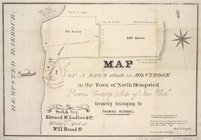
Map of a farm at Fort Hamilto…
note:
… to Early Maps of the
Middle
Atlantic
Seaboard.
Executors sale of property be…
note:
… to Early Maps of the
Middle
Atlantic
Seaboard.
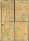
m
… of the
state
of New York : made
note:
… to Early Maps of the
Middle
Atlantic
Seaboard.
End of results
|
Top