Click to visit the main New York Public Library Homepage
The New York Public Library
Digital Collections
About Digital Collections
Browse
Search only public domain materials
Items
Collections
Divisions
Home
Search
Browse
About
Search only public domain materials
Items
Collections
Divisions
Digital Collections
Using Images
Using Data
Search
Filtered keyword search
Show filters
Hide filters
Show Only Public Domain
topic
Real property
262
Maps
48
Fire insurance
33
Cities & towns
32
City planning
4
More
Less
name
G.W. Bromley & Co
191
Bromley, George Washington
79
Bromley, Walter Scott
79
Ullitz, Hugo
79
E. Robinson Co
72
More
Less
collection
x
Atlases of New York City
place
New York (State)
243
Bronx (New York, N.Y.)
160
New York
145
Staten Island (New York, N.Y.)
128
New York (N.Y.)
125
More
Less
genre
Maps
596
Topographic maps
40
Cadastral maps
31
tables (documents)
2
Indexes
1
More
Less
publisher
G.W. Bromley & Co
154
E. Belcher Hyde
106
E. Robinson Co
72
Topographical Bureau
53
E. Belcher Hyde
42
More
Less
division
Map Division
600
type
cartographic
592
still image
4
text
4
Date Range
to
600 results found for:
x
Roads
Filtering on:
x
Collection
: Atlases of New York City
For more collection details, visit the
Atlases of New York City collection page
.
Sort by:
Relevance
Title
Date created
Date digitized
Sequence
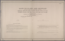
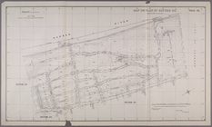
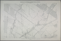
…, and class of streets,
roads
… on the nearest public
roads
.
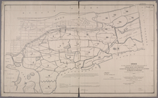
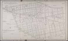
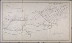
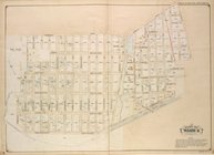
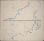
Index to the Location of the …
collection:
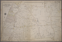
…, and class of streets,
roads
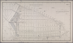
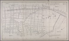
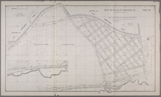
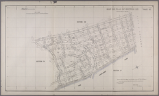
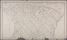
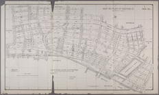
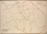
Map of Section 1. [Bounded by…
collection:
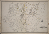
…, and class of streets,
roads
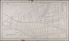
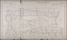
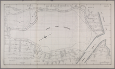
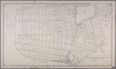
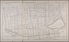
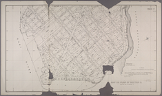
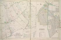
Map or Plan of Section 6. [Bo…
collection:
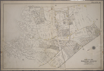
…, and class of streets,
roads
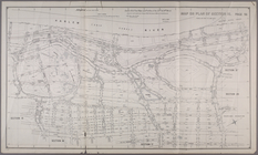
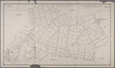
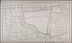
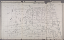
Map or Plan of Section 7. [Bo…
collection:
…, and class of streets,
roads
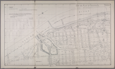
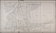
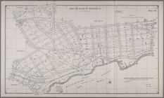
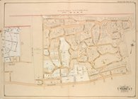
Map or Plan of Section 8. [Bo…
collection:
…, and class of streets,
roads
Map or Plan of Section 12. [B…
collection:
…, and class of streets,
roads
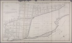
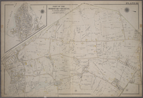
Map or Plan of Section 13. [B…
collection:
…, and class of streets,
roads
Map or Plan of Section 15. [B…
collection:
…, and class of streets,
roads
…
Road
.]
… Railroad, Woodlawn
Road
Map or Plan of Section 19. [B…
collection:
…, and class of streets,
roads
…
Road
, Jerome Avenue and Kingsbridge
Road
.]
…
Road
.]
collection:
… Duyvil
Road
.]
Map or Plan of Section 24. [B…
collection:
…, and class of streets,
roads
Map or Plan of Section 25. [B…
collection:
…, and class of streets,
roads
…
Road
, Jerome Avenue
… Avenue, Gun Hill
Road
Section 1: Map or Plan of Sec…
collection:
…, and class of streets,
roads
… Boulevard, Hunts Point
Road
… Avenue, Edgewater
Road
Map or Plan of Section 9.[Bou…
collection:
…, and class of streets,
roads
Map or Plan of Section 10. [B…
collection:
…, and class of streets,
roads
Map or Plan of Section 11. [B…
collection:
…, and class of streets,
roads
Map or Plan of Section 14. [B…
collection:
…, and class of streets,
roads
…
Road
, Morris Avenue, E
… by Edgewater
Road
, Coster
…
Road
, W. 240th Street
… by Spuyten Duvil
Road
Map or Plan of Section 26. [B…
collection:
…, and class of streets,
roads
…
Road
and Cross St
note:
… of
roads
, streets, and lots
…
Road
, Charlecote
…, Little Neck
Road
, West
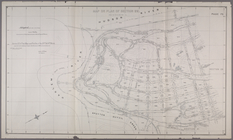
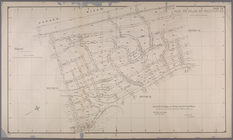
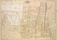
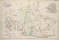
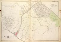
Plate 27, Part of Wards 2, 3,…
… Hempstead
Road
), White Pot
Road
; Including Cooper
…, Mill
Road
, North
… by Farmers Avenue,
Road
… bounded by Merrick
Road
,
Road
to Wrights Mill
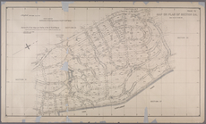
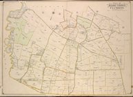
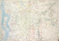
Plate 26, Part of Ward 5: [Ma…
…. Laughlin , Flushing
Road
… by Nassau
Road
, Broadway
…. [Includes Richmond Hill
Road
, Forest Hill
Road
, Old
…, Bell Avenue, Rocky
Road
… by Old South
Road
… by Bergen Landing
Road
, Rockaway Plank
Road
… Clove
Road
, Seneca Ave, Schohaire St, Clove
Road
Plate 33, Part of Wards 2 & 3…
…], Town Dock
Road
, East
Road
, South
Road
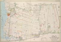
Plate 24, Part of Ward 5: [Ma…
1
2
3
Previous
Next
1
2
3
Previous
Next