Click to visit the main New York Public Library Homepage
The New York Public Library
Digital Collections
About Digital Collections
Browse
Search only public domain materials
Items
Collections
Divisions
Home
Search
Browse
About
Search only public domain materials
Items
Collections
Divisions
Digital Collections
Using Images
Using Data
Search
Filtered search
Show filters
Hide filters
Show Only Public Domain
topic
Real property
65
Cities & towns
33
Fire insurance
33
Atlases, British
23
Railroads
21
More
Less
name
Sanborn Map Company
33
New York (N.Y.). Department of Parks. Topographical Division
29
Mitchell, S. Augustus (Samuel Augustus), 1792-1868
14
Wells, Edward, 1667-1727
14
Sheldonian Theatre
12
More
Less
collection
Atlases of New York City
75
Maps of North America
70
Maps of New York City and State
45
Lawrence H. Slaughter Collection of English maps, charts, globes, books and atlases
34
Atlases, gazetteers, guidebooks and other books
29
More
Less
place
New York (State)
88
Central Park (New York, N.Y.)
29
New York (N.Y.)
23
New York
19
England
18
More
Less
genre
Maps
293
Topographic maps
29
Atlases
22
Cadastral maps
11
Prints
11
More
Less
publisher
Sanborn Map Company
33
The Division
29
publisher not identified
15
Printed at the Theater,
12
Printed for Robert Sayer, No. 53, Fleet-Street
11
More
Less
division
Map Division
276
Wallach Division: Print Collection
7
Schomburg Jean Blackwell Hutson Research and Reference Division
5
General Research Division
3
Manuscripts and Archives Division
2
More
Less
type
x
cartographic
text
9
still image
5
Date Range
to
297 results found
Filtering on:
x
Title
: A slangy expression you hear on the street "He ain't in it." [first line]
x
Type
: cartographic
Sort by:
Title
Date created
Date digitized
Sequence
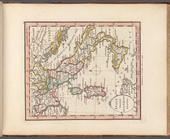
England with its canals and r…
m
Chart of the world exhibiting…
Greater New York and its harb…
m
Map of the City of New York a…
Atlas of the Oranges embracin…
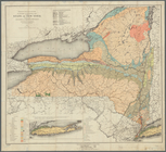
Economic and geologic map of …
Economic and geologic map of …
Economic and geologic map of …
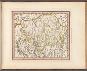
European Russia or Moscovy, o…
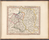
Poland with its dismemberment…
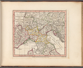
South Germany and Upper Italy…
Italy divided into its respec…
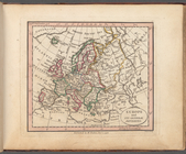
Europe and its general divisi…
Map showing the New York and …
Map showing the line of the N…
Map showing route of marches …
Bounded by Avenue K., Ralph A…
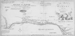
Dahomy and its environs by R.…
Chengwatana, Pine County, M.T…
Map of Chicago and its wester…
Subdivision of Block 5 of the…
This plan of the city of Phil…
Map of the survey of Wissahic…
To the citizens of Philadelph…
Key West Harbor and its appro…
m
The travellers pocket map of …
General map to accompany the …
Eagle Harbor Copper Co, and E…
Map of Pittsburgh and its env…
Map of Cleveland and its envi…
m
Map of Charleston and its vic…
m
Vicinity map, Duwamish River …
Chart of the Columbia River f…
Boston with its environs
m
The Wyoming Coal Field and it…
Map of Virginia showing the d…
City of San Francisco and its…
City of San Francisco and its…
11th ward showing its 28 elec…
Baltimore and its neighborhoo…
Map of the Hannibal & St. Jos…
Map of the city of Davenport …
Whitesboro, Brown Co., W.T.
m
Map and geological cross-sect…
Plan of the town Ebenezer and…
m
T. and T. Wheeler's farm
m
Map of T. B. Clark's land
Map of Richmond, Virginia, an…
City of Apalachicola and its …
Map showing route of marches …
1
2
Previous
Next
1
2
Previous
Next