Click to visit the main New York Public Library Homepage
The New York Public Library
Digital Collections
About Digital Collections
Browse
Search only public domain materials
Items
Collections
Divisions
Home
Search
Browse
About
Search only public domain materials
Items
Collections
Divisions
Digital Collections
Using Images
Using Data
Search
Filtered search
Show filters
Hide filters
Show Only Public Domain
topic
Real property
22
name
G.W. Bromley & Co
22
collection
Atlases of New York City
22
place
Manhattan (New York, N.Y.)
22
New York
22
New York (State)
22
genre
Maps
22
publisher
G.W. Bromley & Co
22
division
Map Division
22
type
cartographic
22
Date Range
to
22 results found
Filtering on:
x
Title
: Part of Section 2
Sort by:
Title
Date created
Date digitized
Sequence
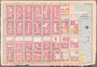
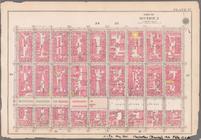
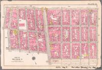
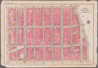
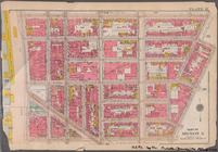
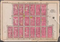
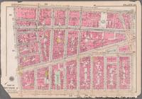
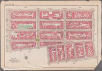
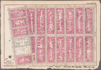
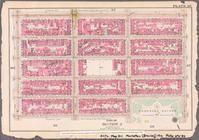
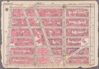
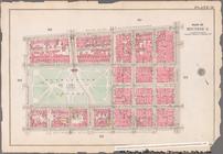
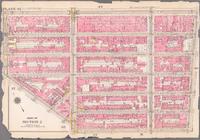
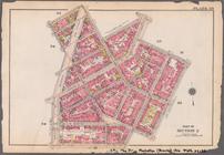
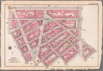
Bounded by Stanton Street, Ri…
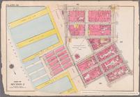
Bounded by Stanton Street, Wi…
Bounded by E. Houston Street,…
Bounded by Prince Street, Cle…
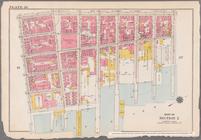
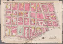
Bounded by King Street, Macdo…
Bounded by W. 3rd Street, Bro…
Bounded by Broadway, E. 8th S…
Bounded by E. 4th Street, Ave…
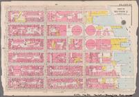
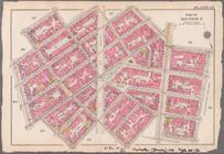
Bounded by Clinton Street, Av…
Bounded by Columbia Street, A…
Bounded by E. 14th Street, Ea…
Bounded by E. 9th Street, E. …
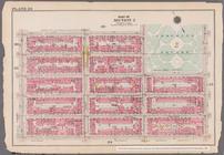
Bounded by E. 14th Street, Av…
Bounded by E. 14th Street, Se…
Bounded by W. 8th Street, E. …
Bounded by W. 14th Street, E.…
Bounded by Barrow Street, Ble…
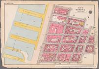
Bounded by West Street, Charl…
Bounded by W. 11th Street, W.…
Bounded by Jane Street, Washi…
Bounded by W. 14th Street, Se…
Bounded by W. 14th Street, Ni…
End of results
|
Top