Click to visit the main New York Public Library Homepage
The New York Public Library
Digital Collections
About Digital Collections
Browse
Search only public domain materials
Items
Collections
Divisions
Home
Search
Browse
About
Search only public domain materials
Items
Collections
Divisions
Digital Collections
Using Images
Using Data
Search
Filtered search
Show filters
Hide filters
Show Only Public Domain
topic
Railroads
185
Administrative and political divisions
150
Real property
135
City planning
126
Local transit
118
More
Less
name
New York (N.Y.). Common Council
97
Valentine, D. T. (David Thomas), 1801-1869
43
Dripps, M. (Matthew)
37
Rand McNally and Company
34
Ohman, August R
25
More
Less
collection
Maps of New York City and State
1337
place
New York (State)
702
New York (N.Y.)
547
New York
529
Manhattan (New York, N.Y.)
337
Brooklyn (New York, N.Y.)
259
More
Less
genre
Maps
1332
Cadastral maps
52
Manuscript maps
46
Pamphlets
35
Aerial views
21
More
Less
publisher
publisher not identified
41
The Company
28
M. Dripps
24
publisher unknown
21
s.n
21
More
Less
division
Map Division
1335
Manuscripts and Archives Division
2
type
cartographic
1330
text
55
still image
16
Date Range
to
1,337 results found
Filtering on:
x
Parent
: New York City||6cea9e80-c5aa-012f-63d6-58d385a7bc34
Sort by:
Title
Date created
Date digitized
Sequence
Results 251 - 300
m
Lands of the Harlaem Canal Co…
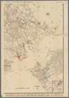
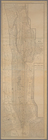
Upper Manhattan, comprising t…
The lower end of Manhattan Is…
The southeastern part of the …
The southwestern part of the …
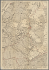
The northwesterly part of the…
The district of Pelham Neck, …
Southeastern part of the boro…
Werpoes, a village of the Man…
Yorkville and East Harlem in …
Southern part of the borough …
The Long Island City and Newt…
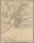
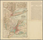
Greater New York and contigou…
m
Map of Long Island and the so…
m
Hagstrom's map of Queens N.Y.…
m
Hagstrom's map of Brooklyn (N…
m
Shell street guide of Brookly…
Map of the port & vicinity of…
m
New map of Kings and Queens c…
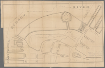
Survey of the Battery
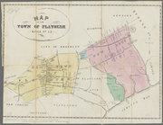
Map of the town of Flatbush, …
m
Map of Kings and part of Quee…
Map of Great Barn Island, New…
Map of the "Hunter Fly Farm" …
m
Map of the city of Williamsbu…
Plan of the city of New York
Topographical map of New York…
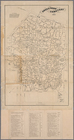
Historical sketch map of King…
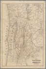
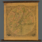
Towns of West Farms and Morri…
m
Map of the Central Park
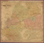
Map of the town of Morrisania
m
Map of the town of Morrisania…
Map of Highbridgeville in the…
m
Map of upper New York City an…
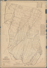
Map of New-York City
Map of New-York City
Green-Wood Cemetery, 1887
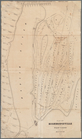
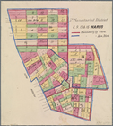
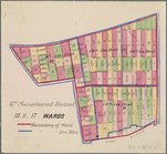
5th Senatorial District 8, 9,…
7th Senatorial District 18, 2…
6th Senatorial District 10, 1…
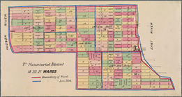
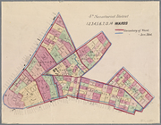
4th Senatorial District. 1,2,…
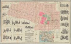
Map of Garden City, Queens Co…
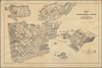
Map showing topographical sur…
The Century atlas, New York, …
m
Cyclists' road map of New Yor…
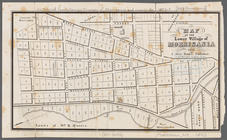
Map of the lower village of M…
Map of Kings and part of Quee…
Map of the country thirty thr…
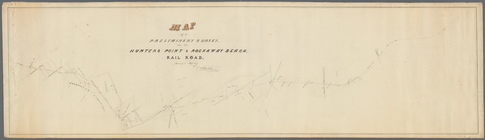
Map of a preliminary survey f…
m
Map of the city of New York
1
2
3
4
5
6
Previous
Next
1
2
3
4
5
6
Previous
Next