Click to visit the main New York Public Library Homepage
The New York Public Library
Digital Collections
About Digital Collections
Browse
Search only public domain materials
Items
Collections
Divisions
Home
Search
Browse
About
Search only public domain materials
Items
Collections
Divisions
Digital Collections
Using Images
Using Data
Search
Filtered keyword search
Show filters
Hide filters
Show Only Public Domain
topic
x
Atlases
Geography
10
Atlases, British
3
Historical geography
3
Maps in education
3
More
Less
name
Society for the Diffusion of Useful Knowledge (Great Britain)
8
J. & C. Walker (Firm)
7
Faden, William, 1749-1836
3
Palmer, W. (William), 1739-1812
3
Seller, John, active 1658-1698
3
More
Less
collection
Lawrence H. Slaughter Collection of English maps, charts, globes, books and atlases
16
Atlases, gazetteers, guidebooks and other books
2
place
Great Britain
14
Maps
5
England
3
Description and travel
2
Early works to 1800
2
More
Less
genre
Maps
17
Illustrations
1
Prints
1
historical maps
1
publisher
Chapman and Hall
8
And are to be sold at his shopps in Wapping at the Hermitage and in Exchange-Alley near the Royall-Exchange ..
3
Published by Wm. Faden, geographer to His Majesty, and His R.H. the Prince of Wales
3
Printed for Tho. Basset ... and Ric. Chiswell ...,
2
A. and C. Black
1
More
Less
division
Map Division
18
type
cartographic
17
still image
2
Date Range
to
18 results found for:
x
World maps
Filtering on:
x
Topic
: Atlases
Sort by:
Relevance
Title
Date created
Date digitized
Sequence
Ethnological Chart of the
World
Showing
The
world
as known to the ancients
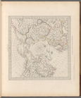
World
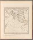
on gnomonic projection No. 3
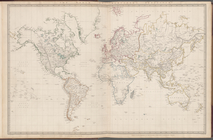
The
world
on Mercator's projection
World
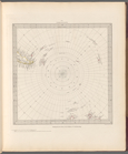
on gnomonic projection No. 5
World
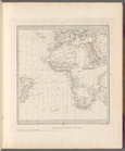
on gnomonic projection No. 4
World
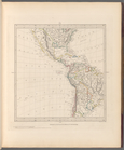
on gnomonic projection No. 6
World
on gnomonic projection No. 1
World
on gnomonic projection No. 2
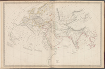
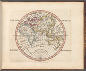
The Old
World
topic:
Maps
in education
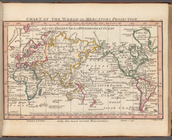
Chart of the
world
on Mercator's projection
topic:
Maps
in education
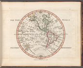
The New
World
topic:
Maps
in education
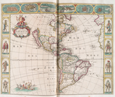
Nova totivs Americæ descripti…
note:
… consisting of
maps
by Wit
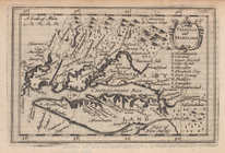
Virginia and Maryland.
collection:
… of the
world
: in this new
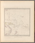
A chart of the West Indies fr…
note:
… consisting of
maps
by Wit
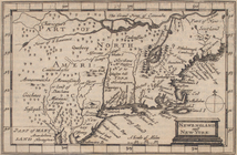
Newengland and New York.
collection:
… of the
world
: in this new
A chart of the sea coasts of …
note:
… consisting of
maps
by Wit
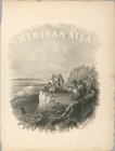
American atlas
End of results
|
Top