Click to visit the main New York Public Library Homepage
The New York Public Library
Digital Collections
About Digital Collections
Browse
Search only public domain materials
Items
Collections
Divisions
Home
Search
Browse
About
Search only public domain materials
Items
Collections
Divisions
Digital Collections
Using Images
Using Data
Search
Filtered keyword search
Show filters
Hide filters
Show Only Public Domain
topic
x
Canals
Railroads
52
Administrative and political divisions
35
Roads
10
Altitudes
9
More
Less
name
Disturnell, John, 1801-1877
8
Weed, Parsons & Co
8
Sherman & Smith
7
Smith, J. Calvin (John Calvin)
7
Tanner, Henry Schenck, 1786-1858
7
More
Less
collection
Maps of New York City and State
41
Maps of North America
19
Atlases of the United States
3
place
New York (State)
44
United States
15
New Jersey
13
Pennsylvania
11
Connecticut
9
More
Less
genre
Maps
63
Atlases
3
Road maps
2
Wall maps
1
publisher
J. Disturnell
6
Lith. by Weed, Parsons & Co
3
New York State Board of Railroad Commissioners?
3
Board of Railroad Commissioners of the State of New York
2
Charles Magnus
2
More
Less
division
Map Division
63
type
x
cartographic
Date Range
to
63 results found for:
x
Yucatan (Mexico : State) -- History
Filtering on:
x
Topic
: Canals
x
Type
: cartographic
Sort by:
Relevance
Title
Date created
Date digitized
Sequence
United
States
of America
m
Map of the United
States
note:
… in the United
States
… of the
state
of New York
note:
… in the
state
-- City of New
Map of the
State
of New-York
note:
… of neighboring
states
m
Colton's map of the
state
of Indiana …
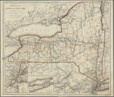
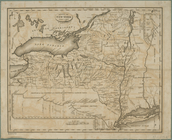
New York
State
canals
Map of the
state
of New York
m
United
States
of America, 1834
Map of the
State
of New York
note:
… of neighboring
states
Map of the
State
of New York
note:
… of neighboring
states
Map of the
states
of Indiana and Ohio …
abstract:
Shows
states
and county boundaries
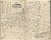
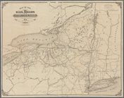
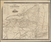
Map of the railroads of the
State
note:
….,
State
Engineer & Survr
m
New map of the
state
of New York
note:
… York
State
seal -- New
Engineers map of the
state
of New York
note:
by S.H. Sweet, Dep.
State
Engineer, 1864.
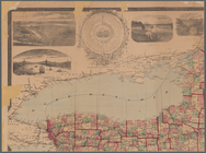
Distance map of the
state
of New York
note:
… in the
state
[diagram and table
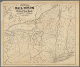
Railroad map of the
State
of New York
note:
… of adjacent
states
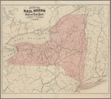
Map of the rail roads of the
state
note:
…
states
and provinces
Map of the rail roads of the
state
note:
…,
State
Engineer and Survr
Map of the rail-roads of the
State
note:
by S.H. Sweet, Deputy
State
Engr
…
States
and Canada
Map of the rail roads of the
state
note:
…
states
and provinces
m
Map of the rail-roads of the
state
note:
… Richmond,
State
Engineer
Map of the
State
of New York
Map of the
state
of New York
Map of the
state
of New York
Map of the
state
of New-York
note:
… geography of the
State
...
Map of the
state
of New-York
note:
…. Burr of the
state
Map of the
state
of New-York
note:
…. Burr of the
state
Map of the rail-roads of the
State
note:
… Richmond,
State
Ingineer
Map of the rail-roads of the
state
note:
… of neighboring
states
Profiles of the New York
State
canals
note:
Inset: Map of the
State
of New York
Map of the rail roads of the
State
note:
…,
State
Engineer and Survr
Profiles of the New York
State
canals
note:
Inset: Map of the
State
of New York
Map of the rail roads of the
State
note:
… Jr.,
State
Engineer
…
States
and Canada
Map of the western
states
to illustrate
Mitchell's county and township map of the
state
Revised map of the rail roads of the
State
note:
…,
State
Engr. & Surveyor
… of the
state
of New York
note:
…, Jr.,
State
Engineer
Map of the New York
state
canals completed
note:
Includes a vignette of the
State
of New York Seal.
Revised map of the rail roads of the
State
note:
… Jr.,
State
Engr
Revised map of the rail roads of the
State
note:
… Jr.,
State
Engr
…
States
note:
…
States
and Canada
State
of New York, Jany. 1, 1824
Map of the United
States
showing canals
…
States
… and the adjoining
states
…, and the adjoining
states
…, and the adjoining
states
Map of the
state
of New-York showing its
note:
by direction of John T. Clark,
State