Click to visit the main New York Public Library Homepage
The New York Public Library
Digital Collections
About Digital Collections
Browse
Search only public domain materials
Items
Collections
Divisions
Home
Search
Browse
About
Search only public domain materials
Items
Collections
Divisions
Digital Collections
Using Images
Using Data
Search
Filtered keyword search
Show filters
Hide filters
Show Only Public Domain
topic
x
Canals
Altitudes
10
Charts, diagrams, etc
10
Administrative and political divisions
4
Railroads
4
More
Less
name
New York (State). State Engineer and Surveyor
3
Pease, Richard H., 1813-1869
3
Vaughan, David, active 1849-1864
3
Brose, W
2
P.S. Duval & Son
2
More
Less
collection
Maps of New York City and State
10
Maps of North America
5
place
New York (State)
10
Erie Canal (N.Y.)
8
Pennsylvania
4
Champlain Canal (N.Y.)
2
Middle Atlantic States
2
More
Less
genre
Maps
15
Diagrams
1
Road maps
1
Wall maps
1
publisher
Lith. of R.H. Pease
3
New York State Engineer and Surveyor?
3
B.D. Packard & Troy
1
D. Steele
1
Humphrey Phelps?
1
More
Less
division
Map Division
15
type
cartographic
15
Date Range
to
15 results found for:
x
Charts, diagrams, etc
Filtering on:
x
Topic
: Canals
Sort by:
Relevance
Title
Date created
Date digitized
Sequence
Profiles of the canals and ra…
use:
…,
etc
.)…
Profiles of the canals and ra…
use:
…,
etc
.)…
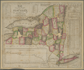
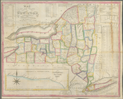
Map of the state of New York …
use:
…,
etc
.)…
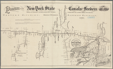
Profiles of the New York Stat…
use:
…,
etc
.)…
State of New York, Jany. 1, 1…
use:
…,
etc
.)…
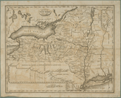
Map of part of New York State…
use:
…,
etc
.)…
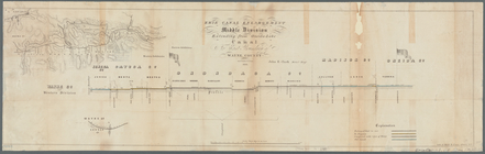
Erie Canal enlargement, middl…
use:
…,
etc
.)…
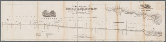
Statistical profile, Erie Can…
use:
…,
etc
.)…
Map of the State of New York …
use:
…,
etc
.)…
Map of the state of New York …
use:
…,
etc
.)…
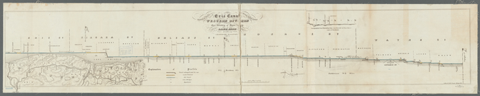
Statistical profile of Erie C…
use:
…,
etc
.)…
A new map of Pennsylvania : w…
use:
…,
etc
.)…
Map of the country between Wa…
use:
…,
etc
.)…
The travellers pocket map of …
use:
…,
etc
.)…
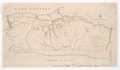
Distance map of the state of …
use:
…,
etc
.)…
End of results
|
Top