Click to visit the main New York Public Library Homepage
The New York Public Library
Digital Collections
About Digital Collections
Browse
Search only public domain materials
Items
Collections
Divisions
Home
Search
Browse
About
Search only public domain materials
Items
Collections
Divisions
Digital Collections
Using Images
Using Data
Search
Filtered keyword search
Show filters
Hide filters
Show Only Public Domain
topic
x
Real property
Landowners
71
Fire insurance
51
Cities & towns
49
Administrative and political divisions
19
More
Less
name
E.B. Hyde & Co
86
Ullitz, Hugo
83
E. Belcher Hyde Map Company
68
Sanborn Map Company
50
G.W. Bromley & Co
31
More
Less
collection
Atlases of New York City
182
Maps of North America
91
Atlases of the United States
13
Maps of New York City and State
10
Collection of broadside real estate maps announcing auctions of lots in early 19th century New York City
1
More
Less
place
New York (State)
203
New York
128
Brooklyn (New York, N.Y.)
98
Maps
59
Pennsylvania
29
More
Less
genre
Maps
298
Cadastral maps
77
Atlases
13
Illustrations
8
Topographic maps
4
More
Less
publisher
E. Belcher Hyde
67
Sanborn Map Company
49
G.W. Bromley & Co
22
publisher not identified
18
E.B. Hyde & Co
15
More
Less
division
Map Division
296
Milstein Division
1
type
x
cartographic
still image
11
text
1
Date Range
to
298 results found for:
x
17
Filtering on:
x
Topic
: Real property
x
Type
: cartographic
Sort by:
Relevance
Title
Date created
Date digitized
Sequence
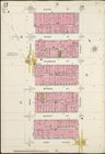
…, Double Page Plate No.
17
; Part of Wards 15,
17
Map bounded by Bainbridge St.…
note:
v. 1 Sections
1-7
-- v. 2 Sections 8-l4
Map bounded by Pacific St., S…
note:
v. 1 Sections
1-7
-- v. 2 Sections 8-l4
Map bounded by Fulton St., Ro…
note:
v. 1 Sections
1-7
-- v. 2 Sections 8-l4
Map bounded by Dean St., Roch…
note:
v. 1 Sections
1-7
-- v. 2 Sections 8-l4
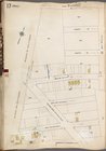
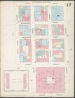
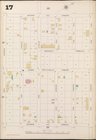
Plate
17
: Bounded by 21st Street, Gravesend
collection:
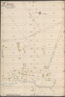
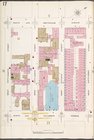
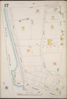
Plate
17
: Bounded by 21st Street
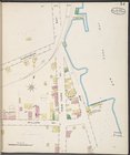
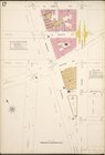
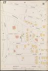
Plate
17
: [Bounded by Flushing Avenue
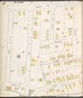
…, Double Page Plate No.
17
…; Part of Wards 15 &
17
…; Part of Ward
17
…; Part of Ward
17
…; Part of Ward
17
…; Part of Ward
17
m
Wright's map of Kansas City, …
…. Wards 13, 14, 15, 16,
17
first:
670dba69-1d
17
-448e-e040-e00a18063311
…; Part of Wards 14 &
17
…; Part of Ward
17
…; Part of Ward
17
& 18
…, Double Page Plate No.
17
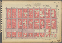
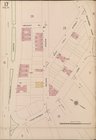
Plate
17
Plate
17
, Part of Section 2
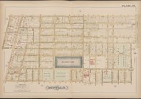
Buffalo, Double Page Plate No.
17
[Map
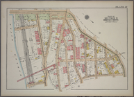
Plate
17
, Part of Section 2
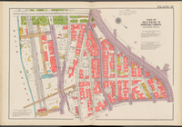
Plate
17
, Part of Section 9, Borough
Double Page Plate No.
17
, Part
Plate
17
, Part of Section 2
Double Page Plate No.
17
, Part
Double Page Plate No.
17
, Part
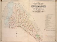
Brooklyn V. 2, Plate No.
17
[Map
Brooklyn Plate No.
17
[Map bounded
Brooklyn V. 7, Plate No.
17
[Map
Brooklyn V. 5, Plate No.
17
[Map
Brooklyn V. 8, Plate No.
17
[Map
Brooklyn V. 9, Plate No.
17
[Map
Brooklyn V. 12, Plate No.
17
[Map
Queens V. 2, Plate No.
17
[Map bounded
Queens V. 3, Plate No.
17
[Map bounded
Queens V. 3, Plate No.
17
[Map bounded
Queens V. 6, Plate No.
17
[Map bounded
Queens V. 10, Plate No.
17
[Map bounded
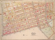
Staten Island, Plate No.
17
[Map
Richmond, Plate No.
17
[Map bounded
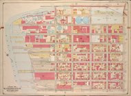
Manhattan, V. 1, Plate No.
17
[Map
Manhattan, V. 6, Plate No.
17
[Map
Manhattan, V. 2, Plate No.
17
[Map
Manhattan, V. 1, Plate No.
17
[Map
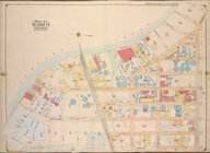
Bronx, V. B, Plate No.
17
[Map bounded
Manhattan, V. 12, Plate No.
17
[Map
Bronx, V. 13, Plate No.
17
[Map bounded
Bronx, V. 15, Plate No.
17
[Map bounded
1
2
Previous
Next
1
2
Previous
Next