Click to visit the main New York Public Library Homepage
The New York Public Library
Digital Collections
About Digital Collections
Browse
Search only public domain materials
Items
Collections
Divisions
Home
Search
Browse
About
Search only public domain materials
Items
Collections
Divisions
Digital Collections
Using Images
Using Data
Search
Filtered keyword search
Show filters
Hide filters
Show Only Public Domain
topic
x
Real property
Fire insurance
213
Cities & towns
207
Landowners
19
Maps
14
More
Less
name
G.W. Bromley & Co
349
Sanborn Map Company
207
Bromley, George Washington
72
Bromley, Walter Scott
72
Perris, William
25
More
Less
collection
Atlases of New York City
600
Atlases of the United States
37
Maps of New York City and State
14
Collection of broadside real estate maps announcing auctions of lots in early 19th century New York City
9
Maps of North America
2
More
Less
place
New York (State)
658
New York
355
Manhattan (New York, N.Y.)
351
New York (N.Y.)
88
Bronx (New York, N.Y.)
22
More
Less
genre
Maps
659
Atlases
37
Cadastral maps
17
Indexes
1
Prints
1
More
Less
publisher
G.W. Bromley & Co
342
Sanborn Map Company
207
E. Robinson Co
22
Perris & Browne
18
D. G. Beers & Co
9
More
Less
division
Map Division
645
type
cartographic
661
text
3
Date Range
to
663 results found for:
x
Hudson %28N.Y.%29
Filtering on:
x
Topic
: Real property
Sort by:
Relevance
Title
Date created
Date digitized
Sequence
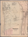
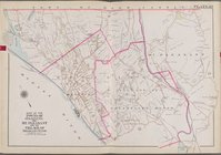
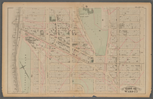
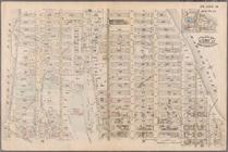
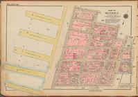
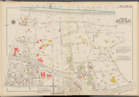
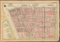
Jersey City, V. 1, Double Page Plate No.
29
note:
Vol.2 has title: Atlas of
Hudson
County
…, Plate No.
29
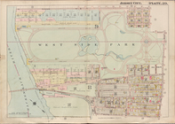
[Map bounded by
Hudson
River]
… No.
29
[Map bounded by
Hudson
River, Spuyten
…, Hardscrable Rd.,
Hudson
River]
Plate
29
:…
… Street and (
Hudson
River
… &
Hudson
rivers
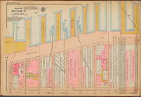
Plate 36, Part of Section 2: …
Plate 36, Part of Section 2: …
… Street,
Hudson
Street
… Street,
Hudson
Street
… Street,
Hudson
Street, Bank Street,
Hudson
collection:
…, Gansevoort Street,
Hudson
Map of Dobbs Ferry and Hastin…
…,
Hudson
Street
…, Christopher Street,
Hudson
… Street,
Hudson
Street
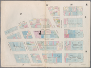
Plate 36: [Bounded by Jane St…
Double Page Plate No. 41, Par…
Plate 36, Part of Section 2: …
Double Page Plate No. 41, Par…
Double Page Plate No. 40, Par…
Double Page Plate No. 40, Par…
… [Map bounded by
Hudson
River, 12th Ave.;
Hudson
… St.,
Hudson
St., W. 10th St.,
Hudson
River]
collection:
… St.,
Hudson
St., W. 10th St.,
Hudson
m
… upon
Hudson
… bounded by
Hudson
River, W. 96th St.,
Hudson
River]
collection:
… bounded by
Hudson
River, W. 96th St.,
Hudson
… bounded by
Hudson
River, Laight St.,
Hudson
St
… bounded by
Hudson
River, Watts Str.,
Hudson
St
parent:
30e03c20-c5ff-012f-ec
29
-58d385a7bc34
… bounded by
Hudson
River, Spring St.,
Hudson
St
… of
Hudson
River Railroad
… of
Hudson
River Railroad
… by West Street (
Hudson
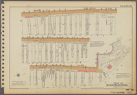
Plate 39: Plan of Hudson Rive…
Plate 39: Plan of Hudson Rive…
first:
f8acd300-435f-0132-
29
d0-58d385a7b928
…, Gold St.,
Hudson
Ave
Plate 39: Plan of Hudson Rive…
…,
Hudson
River
…,
Hudson
River
…,
Hudson
River
…,
Hudson
River
…,
Hudson
River
Map bounded by Duane Street,
Hudson
Map bounded by West 10th Street,
Hudson
…,
Hudson
River
…,
Hudson
River
…, Thirteenth Avenue,
Hudson
…,
Hudson
River
…,
Hudson
River
Plate 5, Part of Section 1: […
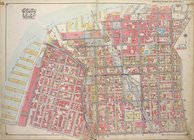
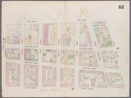
Plate 52: [Bounded by (Hudson…
1
2
3
Previous
Next
1
2
3
Previous
Next