Click to visit the main New York Public Library Homepage
The New York Public Library
Digital Collections
About Digital Collections
Browse
Search only public domain materials
Items
Collections
Divisions
Home
Search
Browse
About
Search only public domain materials
Items
Collections
Divisions
Digital Collections
Using Images
Using Data
Search
Filtered search
Show filters
Hide filters
Show Only Public Domain
topic
x
Antiquities
Description and travel
40
Archaeological sites
22
Russia, Southern
12
Pyramids
9
More
Less
name
Norden, Frederik Ludvig, 1708-1742
40
Tuscher, Markus, 1705-1751
40
Lepsius, Richard, 1810-1884
39
Erbkam, Georg Gustav, 1811-1876
21
Monecke, C
21
More
Less
collection
The antiquities, natural history, ruins and other curiosities of Egypt, Nubia and Thebes. Exemplified in near two hundred drawings taken on the spot
40
Denkmaeler aus Aegypten und Aethiopien nach den Zeichnungen der von seiner Majestat dem Koenige von Preussen Friedrich Wilhelm IV nach diesen Landern gesendeten und in den Jahren 1842-1845 ausgefuhrten wissenschaftlichen Expedition ..
39
Sobranie kart i risunkov k izledovaniam o drevnostiakh IUzhnoi Rossii i beregov Chernago Moria
12
Atlante del basso ed alto Egitto
8
Sobranīe kart, planov i risunkov k trudam pervago arkheologicheskago s︠i︡ezda
4
More
Less
place
Egypt
95
Nile River
30
Black Sea Lowland (Ukraine)
12
Nubia
8
Karnak (Egypt)
4
More
Less
genre
Prints
117
Illustrations
50
Maps
28
Plans
2
publisher
Printed for Lockyer Davis
40
Nicolaische Buchhandlung
39
nello stabilimento posto nei Fondacci di S. Spirito N. 1993
8
Pechat. v lit. I. Medv︠i︡edeva
4
Gide et J. Baudry
3
More
Less
division
General Research Division
102
Rare Book Division
13
Wallach Division: Art & Architecture Collection
2
Map Division
1
type
x
cartographic
still image
3
text
1
Date Range
to
118 results found
Filtering on:
x
Topic
: Antiquities
x
Type
: cartographic
Sort by:
Title
Date created
Date digitized
Sequence
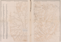
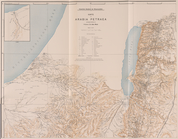
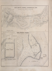
Die Karte von Arabia Petraea
Die Karte von Arabia Petraea
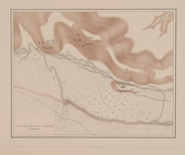
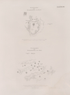
Situationsplan
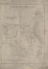
Planta topografica della citt…
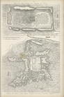
Rouine d'un Tempio d'Iside pr…
Pianta della città del Cairo.
Pianta topografica di alcune …
Altra veduta di Carnac; Piant…
Pianta del tempio di Luxor.
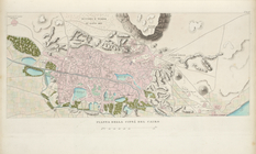
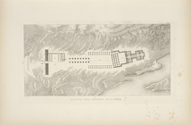
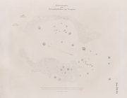
Piano generale di Tebe.
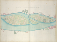
Pianta del tempio di File.
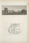
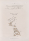
Plan of the remains of some a…
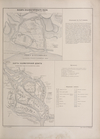
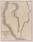
Plan Kholmogorskago vala i ka…
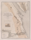
Karta Vavchugi, gorodishch i …
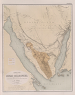
Karta Emetska, Sotina bora i …
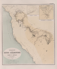
Plan Kazanskoi gubernii Spask…
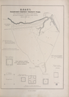
Map to illustrate the sketche…
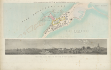
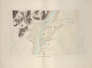
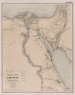
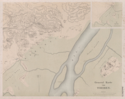
Übersichtskarte der Nilländer
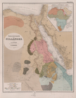
General-Karte von Aegypten un…
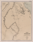
Karte von Aethiopien .
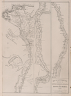
Karte vom Nil-Delta, dem Isth…
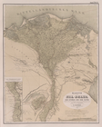
Karte des Nil-Thals in Mittel…
Karte der ostaegyptischen Wüs…
Karte der Sinai-Halbinsel.
Routen in der Sinai-Halbinsel.
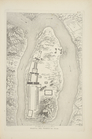
Situationsplan der Tempelruin…
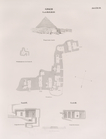
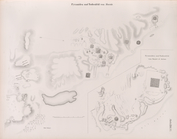
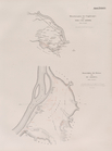
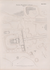
Situationsplan der Pyramiden-…
Situationsplan des Pyramidenf…
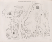
Giseh [Jîzah]: Grab 86., 87.,…
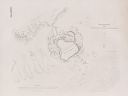
Pyramiden und Todtenfeld von …
Pyramiden und Todtenfeld von …
Nördlichste Ziegelpyramide vo…
Pyramiden und Todtenfeld von …
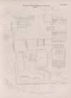
Situationsplan der Pyramiden-…
Situationsplan des Pyramiden-…
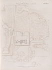
Fayyûm: Situationsplan des La…
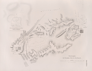
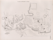
Situationsplan der Ruinen von…
Situationsplan der Ruinen von…
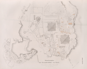
Situationsplan der Umgebungen…
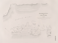
Specialplan der Ruinen von El…
Situationsplan der Ruinen von…
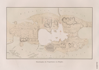
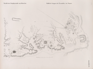
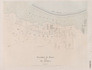
General Karte von Theben [The…
Situations-Plan der Ruinen vo…
Situations-Plan der Ruinen vo…
Situations-Plan der Ruinen vo…
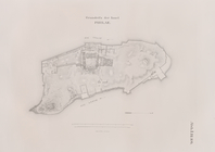
Grundriss der Insel Philae.
Situationsplan der Ruinen von…
Situationsplan des Pyramidenf…
Situationsplan des Pyramidenf…
Situationsplan von Berg Barka…