Click to visit the main New York Public Library Homepage
The New York Public Library
Digital Collections
About Digital Collections
Browse
Search only public domain materials
Items
Collections
Divisions
Home
Search
Browse
About
Search only public domain materials
Items
Collections
Divisions
Digital Collections
Using Images
Using Data
Search
Filtered search
Show filters
Hide filters
Show Only Public Domain
topic
x
Boundaries
History
10
Nazi propaganda
5
Foreign relations
2
Indians of North America
2
More
Less
name
United States. Farm Security Administration
21
Rothstein, Arthur, 1915-1985
17
Barclay, Anthony, 1792-1877
7
Porter, Peter B. (Peter Buell), 1773-1844
7
United States. Light-House Board
7
More
Less
collection
Maps of North America
31
Farm Security Administration Photographs
21
Maps of New York City and State
8
Eye on the Reich : German propaganda photographs, 1939-1942
5
"The Pageant of America" Collection
1
More
Less
place
United States
20
Canada
13
New York (State)
11
Texas
11
Maryland
6
More
Less
genre
Maps
42
Photographs
27
Strip maps
3
Charts
1
Diagrams
1
More
Less
publisher
U.S. Light-House Board
7
The Commissioners
5
publisher not identified
4
New Jersey Boundary Commission?
3
Benjamin Chew
1
More
Less
division
Map Division
40
Wallach Division: Photography Collection
22
Wallach Division: Picture Collection
6
Dorot Jewish Division
1
Rare Book Division
1
type
cartographic
43
still image
28
Date Range
to
70 results found
Filtering on:
x
Topic
: Boundaries
Sort by:
Title
Date created
Date digitized
Sequence
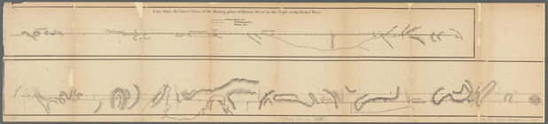
Gorges and Mason dividing the…
Wells Along a Property Line.
Lord Balitmore's own plan : p…
The State of New Jersey.
Map shewing position of 1st B…
The San Juan award: a map sho…
Part of North America: showin…
Map of Byram River from its m…
m
Diagrams of the New-York and …
Diagrams of the New-York and …
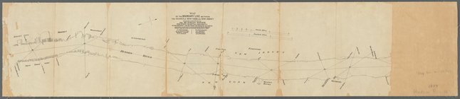
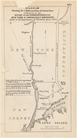
Map of the boundary line betw…
m
Niagara 1819
The second section of the sur…
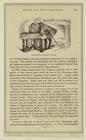
Diagram showing the relative …
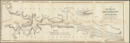
Map of the boundary between t…
Part of the boundary between …
Part of the boundary between …
Part of the boundary between …
Map of the United States and …
m
Map of that portion of her ma…
Map of Maine & the disputed …
A map of part of the Province…
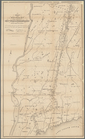
Map of the boundary line betw…
Map of northern boundary line…
Map of the state of Maine: co…
Map of the boundary line betw…
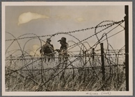
On the borders and fronts of …
[... forced Italy to take def…
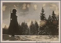
[A quiet time at the Front, b…
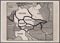
This is how the warmongers wo…
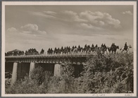
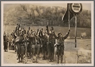
General Franco's victorious t…
The boundary lines between th…
Noua Terrae-Mariae tabula
m
A plan of the boundary lines …
Topographical sketch of the s…
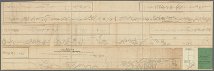
Barometric profile of the rou…
Detroit 1820
No. 3, map of Isle Royale in …
General map to accompany the …
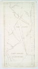
Lake St. Clair
m
Map of the river Sainte Mary …
m
Map of the St. Clair River : …
Ohio boundary, no. 111, south…
A compleat map of North-Carol…
m
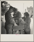
Plant quarantine inspectors e…
m
El Paso housewives after a da…
m
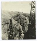
Crossing the international br…
m
Crossing the international br…
Map of Texas and the countrie…
Map of the boundary lines bet…