Click to visit the main New York Public Library Homepage
The New York Public Library
Digital Collections
About Digital Collections
Browse
Search only public domain materials
Items
Collections
Divisions
Home
Search
Browse
About
Search only public domain materials
Items
Collections
Divisions
Digital Collections
Using Images
Using Data
Search
Filtered keyword search
Show filters
Hide filters
Show Only Public Domain
topic
Real property
298
Administrative and political divisions
178
Nautical charts
127
History
121
Railroads
112
More
Less
name
E.B. Hyde & Co
204
United States Coast Survey
139
Bache, A. D. (Alexander Dallas), 1806-1867
121
Hyde, Merritt B
118
Ullitz, Hugo
86
More
Less
collection
Maps of North America
846
Atlases of New York City
247
Atlases of the United States
177
Maps of New York City and State
70
Lawrence H. Slaughter Collection of English maps, charts, globes, books and atlases
40
More
Less
place
New York (State)
270
New York
159
Virginia
142
Pennsylvania
139
Suffolk County (N.Y.)
121
More
Less
genre
Maps
1454
Atlases
177
Nautical charts
117
Bathymetric maps
90
Cadastral maps
86
More
Less
publisher
E. Belcher Hyde
191
publisher not identified
92
U.S. Coast Survey
76
Sanborn Map Company
51
U.S. Coast Survey Office
42
More
Less
division
Map Division
1399
Manuscripts and Archives Division
24
Rare Book Division
10
Wallach Division: Print Collection
7
Schomburg Jean Blackwell Hutson Research and Reference Division
5
More
Less
type
x
cartographic
still image
44
text
33
Date Range
to
1,456 results found for:
x
17
Filtering on:
x
Type
: cartographic
Sort by:
Relevance
Title
Date created
Date digitized
Sequence
m
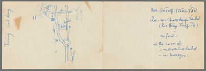
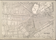
Map of part of Ho Chi Minh Ci…
m
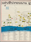
Tourist map of Vientiane
first:
57307e30-ef98-0137-f2f
1-7
fe0d1e97665
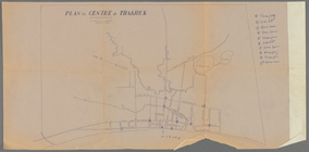
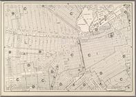
Plan du centre de Thakhek
note:
…ʺ/N
17
°26ʹ00ʺ--N
17
Pencil sketch of part of Vien…
note:
… 18°26ʹ--N
17
°48ʹ).
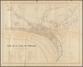
Plan de la ville de Vientiane
note:
…ʺ/N 18°02ʹ20ʺ--N
17
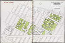
Site plan, [Page 16 and 17]
Plate
17
, Part of Section 2
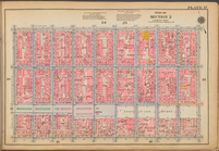
Height Zoning Map Section No.
17
Use Zoning Map Section No.
17
Double Page Plate No.
17
, Part
Double Page Plate No.
17
, Part
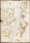
Map of the New York world's f…
note:
Size:
17
X 22 1/4 inches.
Double Page Plate No.
17
, Part
Double Page Plate No.
17
, Part
Use District Map Section No.
17
Area District Map Section No.
17
Height District Map Section No.
17
Plate
17
, Part of Section 2
Plate
17
, Part of Section 2
Height District Map Section No.
17
Area District Map Section No.
17
Use District Map Section No.
17
Plate
17
Height District Map Section No.
17
Use District Map Section No.
17
Area District Map Section No.
17
Plate
17
Queens V. 8, Plate No.
17
[Map bounded
Plate
17
, Part of Section 7: [Bounded
Plate
17
, Part of Section 9, Borough
Jersey City, V. 1, Double Page Plate No.
17
Queens, Vol. 1A, Double Page Plate No.
17
parent:
17
c51df0-c5f8-012f-478a-58d385a7bc34
Bronx, V. 18, Plate No.
17
[Map bounded
Plate
17
, Part of Ward 1 [Map bound
Plate
17
, Part of Ward 4 [Map bound
Staten Island, V. 1, Plate No.
17
[Map
Bounded by Stanton Street, Wi…
Area District Map Section No.
17
Height District Map Section No.
17
Use District Map Section No.
17
… of Wards 14, 15,
17
… of Ward
17
, Section 9
… of Wards
17
& 18, Section 9
collection:
… of Wards
17
& 18, Section
Brooklyn, Vol. 1, Double Page Plate No.
17
… of Wards 14, 15,
17
… of Ward
17
, Section 9
… of Wards
17
& 18, Section 9
collection:
… of Wards
17
& 18, Section
…. Sections 16,
17
, 18 & 19
…, Section 16 &
17
; [Map
… & 31, Section 16 &
17
1
2
3
4
5
6
Previous
Next
1
2
3
4
5
6
Previous
Next