Click to visit the main New York Public Library Homepage
The New York Public Library
Digital Collections
About Digital Collections
Browse
Search only public domain materials
Items
Collections
Divisions
Home
Search
Browse
About
Search only public domain materials
Items
Collections
Divisions
Digital Collections
Using Images
Using Data
Search
Filtered keyword search
Show filters
Hide filters
Show Only Public Domain
topic
Railroads
56
Administrative and political divisions
22
Colonies
17
History
15
Boundaries
14
More
Less
name
Moll, Herman, -1732
12
Bowles, John, 1701-1779
8
Lotter, Matthäus Albrecht, 1741-1810
8
Lotter, Tobias Conrad, 1717-1777
8
Barclay, Anthony, 1792-1877
7
More
Less
collection
Maps of North America
150
Maps of New York City and State
34
Lawrence H. Slaughter Collection of English maps, charts, globes, books and atlases
33
John H. Levine Collection
9
Atlases, gazetteers, guidebooks and other books
7
More
Less
place
United States
89
Canada
84
North America
69
New York (State)
40
New England
30
More
Less
genre
Maps
253
Prints
11
Illustrations
4
Atlases
2
Early works to 1800
2
More
Less
publisher
publisher not identified
12
U.S. Light-House Board
7
Tobias Conrad Lotter?
5
G.W. & C.B. Colton & Co
4
Missionary education movement of the United States and Canada
4
More
Less
division
Map Division
236
Wallach Division: Print Collection
8
Schomburg Jean Blackwell Hutson Research and Reference Division
5
General Research Division
2
Manuscripts and Archives Division
2
More
Less
type
x
cartographic
text
7
still image
5
Date Range
to
256 results found for:
x
Canada
Filtering on:
x
Type
: cartographic
Sort by:
Relevance
Title
Date created
Date digitized
Sequence
m
Smith's tourist guide of nece…
…, South America,
Canada
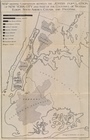
Proposed lines of Mission sta…
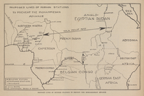
Zones of Mohammedan and Chris…
Johannesburg―the Hub of South…
Africa
m
Scarborough's official tour b…
m
Cameron, Agnes Deans
note:
…
Canada
to the Arctic
The gold and coal fields of A…
abstract:
… gold region,
Canada
Amerikanisch-Spanischer krieg…
note:
…, and territories in eastern
Canada
… of
Canada
…"Underground" routes to
Canada
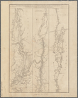
A topographical map of Hudson…
m
History of the United States:…
note:
…. Copyrighted in
Canada
1897
Map of the U. S. and Territor…
collection:
…: with adjacent parts of
Canada
Map of the U. S. and Territor…
collection:
…: with adjacent parts of
Canada
m
… of
Canada
and the republic
Detroit 1820
m
Map of the river Sainte Mary …
m
Niagara 1819
note:
… and the Dominion of
Canada
].
m
Map of the St. Clair River : …
Lake St. Clair
The second section of the sur…
note:
… and the Dominion of
Canada
].
No. 3, map of Isle Royale in …
Map of the Rome, Watertown an…
note:
… States and part of
Canada
.
Map showing the progressive d…
collection:
… and
Canada
, with special
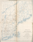
Physical Map of New England.
collection:
… and
Canada
, with special
… States,
Canada
and Mexico
… States,
Canada
and Mexico
… States and
Canada
… York &
Canada
The territory of Alaska : -- …
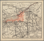
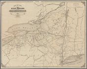
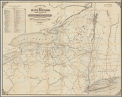
Map of the rail roads of the …
note:
… of
Canada
.
Part of North America: showin…
Map showing the position of t…
m
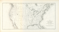
Colton's map of the United St…
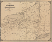
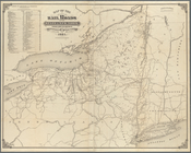
Map of the rail roads of the …
note:
… of
Canada
.
… of the United States and
Canada
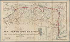
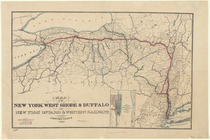
Map of the New York West Shor…
note:
… Ontario,
Canada
.
Map of New England and the pr…
note:
… of
Canada
] [scale
Map of the railroads of the S…
note:
… and provinces of
Canada
.
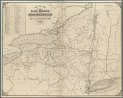
Map of the New York West Shor…
note:
… Ontario,
Canada
.
m
… States and
Canada
m
General railway map of the United States and
Canada
m
… of
Canada
…
City of Philadelphia
abstract:
… to the United States and
Canada
City of Baltimore
abstract:
… to the United States and
Canada
… York &
Canada
Map of the rail roads and can…
note:
… of
Canada
.
Map of the rail roads of the …
note:
… and provinces of
Canada
.
1
2
Previous
Next
1
2
Previous
Next