Click to visit the main New York Public Library Homepage
The New York Public Library
Digital Collections
About Digital Collections
Browse
Search only public domain materials
Items
Collections
Divisions
Home
Search
Browse
About
Search only public domain materials
Items
Collections
Divisions
Digital Collections
Using Images
Using Data
Search
Filtered keyword search
Show filters
Hide filters
Show Only Public Domain
topic
Geography
191
Atlases, British
64
World maps
44
Exhibitions
26
Atlases
17
More
Less
name
Thornton, Samuel
174
Ortelius, Abraham, 1527-1598
125
Coignet, Michel, 1549-1623
123
Shawe, James
123
Mitchell, S. Augustus (Samuel Augustus), 1792-1868
51
More
Less
collection
Atlases, gazetteers, guidebooks and other books
326
Lawrence H. Slaughter Collection of English maps, charts, globes, books and atlases
238
Maps of North America
42
Maps of New York City and State
22
New York World's Fair 1939 and 1940 Incorporated records
20
More
Less
place
Maps
43
New York (State)
36
New York
28
North America
22
Great Britain
20
More
Less
genre
Maps
724
Nautical charts
173
Plans
16
Prints
8
Atlases
7
More
Less
publisher
Printed for Ieames Shawe, and are to be solde at his shoppe nigh Ludgate,
123
S. A. Mitchell, jr
49
Printed for Robert Sayer, No. 53, Fleet-Street
44
M. Carey
44
... Sold ... by Tho. Bowles, print and map-seller in St. Paul's-Churchyard
31
More
Less
division
Map Division
663
Manuscripts and Archives Division
21
Rare Book Division
11
General Research Division
9
Wallach Division: Picture Collection
7
More
Less
type
x
cartographic
text
18
still image
9
Date Range
to
Looking for this collection?
Atlases, gazetteers, guidebooks and other books
572 items
728 results found for:
x
New York World
Filtering on:
x
Type
: cartographic
Sort by:
Relevance
Title
Date created
Date digitized
Sequence
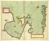
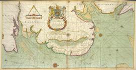
A Burmese map of the
world
, showing traces
use:
… partner (e.g.,
New
York
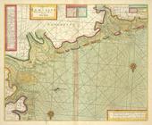
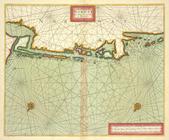
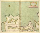
A chart od Iland of
NEW
FOUND LAND
use:
… partner (e.g.,
New
York
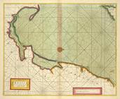
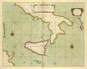
A chart of coast of ANGOLA fr…
use:
… partner (e.g.,
New
York
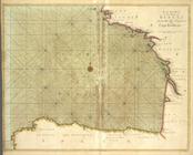
A chart of coast of BARBARY f…
use:
… partner (e.g.,
New
York
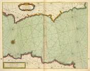
A chart of coast of BIAFRA fr…
use:
… partner (e.g.,
New
York
A chart of coast SWEDEN from …
use:
… partner (e.g.,
New
York
A chart of coasts of CIMBEBAS…
use:
… partner (e.g.,
New
York
A chart of coasts of GABON, L…
use:
… partner (e.g.,
New
York
A chart of EEMS ELVE, Wefer, …
use:
… partner (e.g.,
New
York
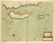
A chart of Islands Corfu, Pac…
use:
… partner (e.g.,
New
York
A chart of JUTLAND and the Is…
use:
… partner (e.g.,
New
York
A chart of LYF LAND and East …
use:
… partner (e.g.,
New
York
A chart of NORWAY from High L…
use:
… partner (e.g.,
New
York
A chart of PRUSSIA and Coerla…
use:
… partner (e.g.,
New
York
A chart of the bay of BISCAY …
use:
… partner (e.g.,
New
York
A chart of the BAY OF GALLOWA…
use:
… partner (e.g.,
New
York
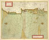
A chart of the BELT and SOUND
use:
… partner (e.g.,
New
York
A chart of the BIGHT of BINNI…
use:
… partner (e.g.,
New
York
A chart of the CANARIE and MA…
use:
… partner (e.g.,
New
York
A chart of the CARIBE ILANDS
use:
… partner (e.g.,
New
York
A chart of the coast of BARBA…
use:
… partner (e.g.,
New
York
A chart of the coast of BARBA…
use:
… partner (e.g.,
New
York
A chart of the coast of GUINE…
use:
… partner (e.g.,
New
York
A chart of the east coast of …
use:
… partner (e.g.,
New
York
A chart of the EAST-SEA
use:
… partner (e.g.,
New
York
A chart of the eastermost par…
use:
… partner (e.g.,
New
York
A chart of the Eems of Old We…
use:
… partner (e.g.,
New
York
A chart of the GOLD COAST in …
use:
… partner (e.g.,
New
York
A chart of the Grain Ivory an…
use:
… partner (e.g.,
New
York
A chart of the Iland of HISPA…
use:
… partner (e.g.,
New
York
A chart of the Island of MAUR…
use:
… partner (e.g.,
New
York
A chart of THE ISLES off CAPE…
use:
… partner (e.g.,
New
York
A chart of the LEVANT or the …
use:
… partner (e.g.,
New
York
A chart of the NORTH SEA
use:
… partner (e.g.,
New
York
A chart of the NORTH-WEST coa…
use:
… partner (e.g.,
New
York
A chart of the sands, shoals,…
use:
… partner (e.g.,
New
York
A chart of the sea coast from…
use:
… partner (e.g.,
New
York
A chart of the sea coast of I…
use:
… partner (e.g.,
New
York
A chart of the sea coast of I…
use:
… partner (e.g.,
New
York
A chart of the sea coast of S…
use:
… partner (e.g.,
New
York
A chart of the sea coast of S…
use:
… partner (e.g.,
New
York
A chart of the sea coasts of …
use:
… partner (e.g.,
New
York
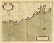
… coasts of
New
England,
New
Iarsey, Virginia
use:
… partner (e.g.,
New
York
… coasts of
New
-England,
New
-Jarsey, Virginia
use:
… partner (e.g.,
New
York
A chart of the Sea-Coast of Z…
use:
… partner (e.g.,
New
York
A chart of the Seacoasts of E…
use:
… partner (e.g.,
New
York
A chart of the shoulds and ri…
use:
… partner (e.g.,
New
York
A chart of the south part of …
use:
… partner (e.g.,
New
York
A chart of the SOUTH SEA Texe…
use:
… partner (e.g.,
New
York
A chart of the straits of BAB…
use:
… partner (e.g.,
New
York
1
2
3
Previous
Next
1
2
3
Previous
Next