Click to visit the main New York Public Library Homepage
The New York Public Library
Digital Collections
About Digital Collections
Browse
Search only public domain materials
Items
Collections
Divisions
Home
Search
Browse
About
Search only public domain materials
Items
Collections
Divisions
Digital Collections
Using Images
Using Data
Search
Filtered keyword search
Show filters
Hide filters
Show Only Public Domain
topic
Real property
386
Nautical charts
76
Railroads
67
Administrative and political divisions
46
Landowners
46
More
Less
name
Pidgeon, R. H. (Roger H.)
364
E. Robinson Co
312
Robinson, E. (Elisha)
263
United States Coast Survey
67
Bache, A. D. (Alexander Dallas), 1806-1867
61
More
Less
collection
Atlases of New York City
304
Atlases of the United States
223
Maps of New York City and State
196
Maps of North America
175
Lawrence H. Slaughter Collection of English maps, charts, globes, books and atlases
15
More
Less
place
New York (State)
465
New York (N.Y.)
313
New York
249
New Jersey
109
Brooklyn (New York, N.Y.)
72
More
Less
genre
Maps
936
Atlases
223
Nautical charts
60
Cadastral maps
33
Bathymetric maps
30
More
Less
publisher
E. Robinson Co
264
E. Robinson
49
J.M. Lathrop & Company
37
Bien, Joseph R
35
I.B. Culver & Co
32
More
Less
division
Map Division
923
Schomburg Jean Blackwell Hutson Research and Reference Division
6
Wallach Division: Print Collection
6
General Research Division
4
Milstein Division
2
More
Less
type
x
cartographic
text
13
still image
9
Date Range
to
945 results found for:
x
R. N
Filtering on:
x
Type
: cartographic
Sort by:
Relevance
Title
Date created
Date digitized
Sequence
Results 501 - 550
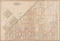
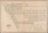
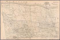
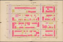
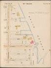
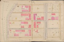
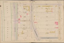
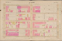
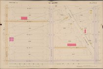
Plate 17: [Bounded by Flushin…
collection:
Plate 17: Part of Ward 18. Brooklyn,
N
.Y.
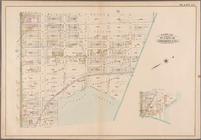
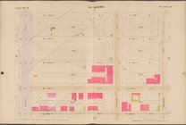
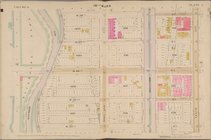
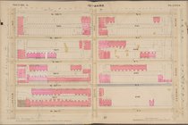
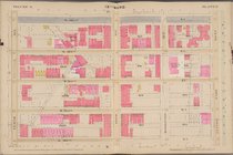
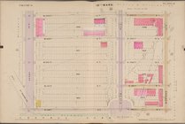
Plate 20: [Bounded by Saratog…
collection:
…. Brooklyn,
N
.Y.
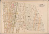
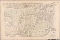
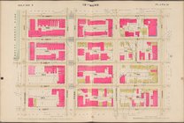
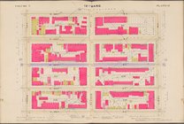
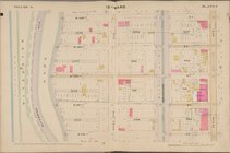
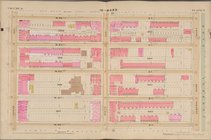
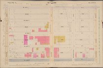
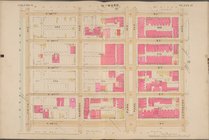
Plate 22: [Bounded by Halsey …
collection:
Plate 22: Part of Ward 18. Brooklyn,
N
.Y.
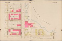
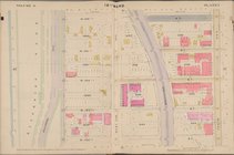
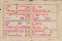
Plate 24: [Bounded by Saratog…
collection:
…,
N
.Y.
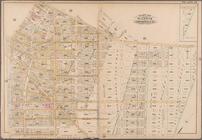
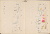
Plate 37: [Bounded by Bushwic…
collection:
Plate 37: Part of Ward 26. Brooklyn,
N
.Y.
Plate 40: [Bounded by Duryea …
collection:
Plate 40: Part of Ward 26. Brooklyn,
N
.Y.
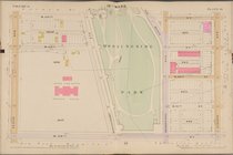
The lake country of New Hamps…
… & Erie
R
.
R
. Co., 1844, exhibiting the line of the
N
collection:
… of the
N
.Y. & E.
R
. Road
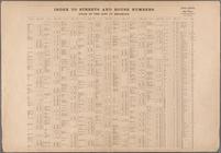
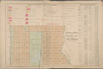
Index to Streets and House Nu…
Outline of Robinson's Real Es…
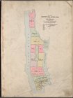
Index Map of Volume 6 Includi…
Map bounded by E. 90th St., 2…
Map bounded by E. 90th St., E…
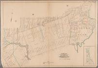
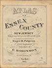
Atlas of Essex County New Jer…
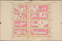
Plate 14: Bounded by W. 40th …
Plate 15: Bounded by W. 52nd …
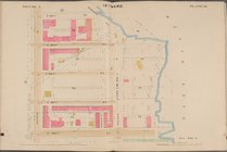
Plate 31: Bounded by Harlem R…
Plate 37: Bounded by Westches…
Plate 38: Bounded by Harlem R…
Plate 39: Vanderbilt Avenue, …
Map bounded by W. 126th St., …
Map bounded by W. 134th St., …
Map bounded by W. 118th St., …
Map bounded by W. 134th St., …
Map bounded by W. 118th St., …
Map bounded by W. 122nd St., …
Map bounded by W. 130th St., …
Map bounded by W. 138th St., …
Map bounded by E. 122nd St., …
Map bounded by E. 134th St., …
Map bounded by E. 138th St., …
Map bounded by E. 126th St., …
Map bounded by W. 122nd St., …
Map bounded by W. 138th St., …
Map bounded by W. 90th St., 1…
Map bounded by W. 98th St., 1…
Map bounded by W. 102nd St., …
Map bounded by W. 106th St., …
Map bounded by W. 110th St., …
Map bounded by W. 114th St., …
Map bounded by W. 90th St., C…
Map bounded by W. 94th St., C…
Map bounded by W. 98th St., C…
Map bounded by W. 102nd St., …
Map bounded by W. 106th St., …
Map bounded by W. 110th St., …
Map bounded by W. 114th St., …
Map bounded by W. 114th St., …
Map bounded by W. 114th St., …
Map bounded by W. 90th St., L…
1
2
3
4
Previous
Next
1
2
3
4
Previous
Next