Click to visit the main New York Public Library Homepage
The New York Public Library
Digital Collections
About Digital Collections
Browse
Search only public domain materials
Items
Collections
Divisions
Home
Search
Browse
About
Search only public domain materials
Items
Collections
Divisions
Digital Collections
Using Images
Using Data
Search
Filtered keyword search
Show filters
Hide filters
Show Only Public Domain
topic
Administrative and political divisions
218
Railroads
212
Real property
119
Canals
63
Indian reservations
41
More
Less
name
United States. General Land Office
56
Bien, Joseph R
38
Bien, Julius, 1826-1909
36
Mitchell, S. Augustus (Samuel Augustus), 1792-1868
35
United States. Post Office Department
35
More
Less
collection
Maps of North America
623
Maps of New York City and State
166
Atlases of the United States
164
Lawrence H. Slaughter Collection of English maps, charts, globes, books and atlases
64
Atlases of New York City
37
More
Less
place
New York (State)
304
United States
266
United States -- Maps
49
Maps
48
New Jersey
42
More
Less
genre
Maps
1128
Atlases
161
Illustrations
24
Geological maps
22
Charts
19
More
Less
publisher
Bien, Joseph R
38
publisher not identified
37
General Land Office
30
F. W. Beers & Co
23
Post Office Department
20
More
Less
division
Map Division
1083
Schomburg Jean Blackwell Hutson Research and Reference Division
21
Manuscripts and Archives Division
10
Wallach Division: Print Collection
7
Rare Book Division
4
More
Less
type
x
cartographic
text
11
still image
10
Date Range
to
1,134 results found for:
x
Yucatan (Mexico : State) -- History
Filtering on:
x
Type
: cartographic
Sort by:
Relevance
Title
Date created
Date digitized
Sequence
Results 751 - 800
m
… Island,
State
of New York
… of Westchester and
State
of New
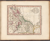
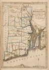
Colton's Road map of Sullivan County,
State
m
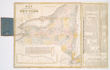
Asher & Adams' new topographical map of the
state
note:
… New York
State
cities.
County Map of the United
States
exhibiting
note:
Extracted from The United
States
Post Office
… County,
state
of New York
Geological chart of the United
States
, east
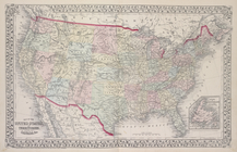
Map of the United
States
showing
… by the
States
of Virginia
…, in New
Mexico
, Colorado
… by the
states
of Virginia
… by the
states
of Virginia
… by the
states
of Virginia
… by the
states
of Virginia
… by the
states
of Virginia
… by the
States
of Virginia
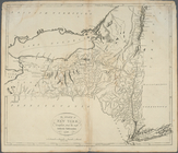
New York
State
Map of the United
States
showing
note:
…"Tenth Census of the United
States
," [1880].
m
Map of the United
States
showing political
note:
…"Department of the Interior United
States
… to the United
States
of America
…
States
… of the United
States
…
States
with Vermont
m
…
States
from
m
Colton's map of the
states
and territories
m
New national map of the United
States
showing
… and the adjoining
states
The United
States
of North America
…, and the adjoining
states
The tourist's map of the
state
of New York
…, and the adjoining
states
An accurate map of the United
States
of America
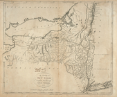
The
state
of New York, compiled from
note:
Differs from earlier
state
by corrected
The
state
of New York, compiled from
note:
Differs from earlier
state
by corrected
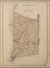
The
State
of Rhode Island. Compiled from
Map of The United
States
, and Territories
m
…
States
… of the United
States
note:
… of the United
States
showing
A map of a tract of land in the
State
note:
… in Documentary
History
of the
State
of New York, vol
… of the
state
geologist for 1892
note:
…. Smock,
State
Geologist.
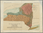
Relief map of the
state
of New York
note:
… York
State
Museum
m
…
States
from
Railroad map of the United
States
note:
… of the United
States
A map of the town of New-ark in the
state
New York
State
, Plate No. 9 [Map
New York
State
, Plate No. 13 [Map
New York
State
, Plate No. 17 [Map
New York
State
, Plate No. 21 [Map
New York
State
, Plate No. 22 [Map
New York
State
, Plate No. 24 [Map
1
2
3
4
5
Previous
Next
1
2
3
4
5
Previous
Next