Click to visit the main New York Public Library Homepage
The New York Public Library
Digital Collections
About Digital Collections
Browse
Search only public domain materials
Items
Collections
Divisions
Home
Search
Browse
About
Search only public domain materials
Items
Collections
Divisions
Digital Collections
Using Images
Using Data
Search
Filtered keyword search
Show filters
Hide filters
Show Only Public Domain
topic
Atlases, British
10
Nautical charts
7
Coasts
3
Colonies
3
Harbors
2
More
Less
name
Bellin, Jacques Nicolas, 1703-1772
18
Morden, Robert, approximately 1650-1703
18
Seller, Jeremiah
10
Cockerill, Thomas, active 1674-1702
8
Price, Charles, active 1700-1707
6
More
Less
collection
Lawrence H. Slaughter Collection of English maps, charts, globes, books and atlases
32
Maps of North America
9
John H. Levine Collection
5
I. N. Phelps Stokes Collection of American Historical Prints
3
Maps of New York City and State
2
More
Less
place
Maps
16
North America
11
Early works to 1800
7
New England
6
Canada
5
More
Less
genre
Maps
61
Prints
3
Manuscripts
1
Nautical charts
1
publisher
Printed for Jer. Seller and Char. Price, at the Hermitage in Wapping
6
Printed for Robert Morden and Thomas Cockeril, at the Atlas in Cornhill, and at the Three Legs in the Poultrey, over against the Stocks-Market
6
Sold by Robt. Morden at ye Atlas in Cornhill,
4
Chez I.B. Nolin ..
3
s.n
3
More
Less
division
Map Division
51
Schomburg Jean Blackwell Hutson Research and Reference Division
5
Wallach Division: Print Collection
3
Rare Book Division
1
Spencer Collection
1
type
x
cartographic
still image
4
text
1
Date Range
to
61 results found for:
x
1703
Filtering on:
x
Type
: cartographic
Sort by:
Relevance
Title
Date created
Date digitized
Sequence
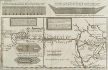
The dwelling houses of the Ta…
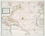
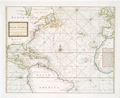
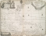
A new generall chart for the …
A new generall chart for the …
A new generall chart for the …
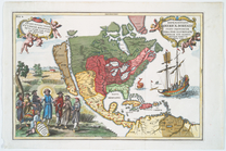
Repraesentatio Americae Borea…
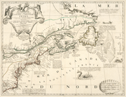
Carte du Canada ou de la Nouv…
note:
… ans,
1703
.
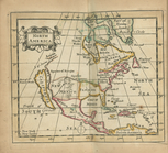
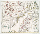
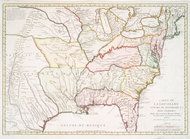
North America
Pensilvania
New Iarsey
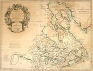
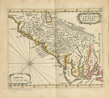
Carolina newly discribed
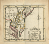
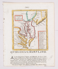
Virginia and Maryland
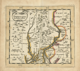
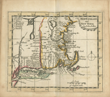
New England and New York
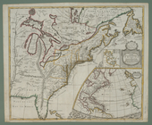
A new map of the English empi…
A new generall chart for the …
note:
…,
1703
; H. Moll f.
A new map of the English empi…
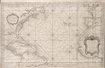
Carte reduite de l'Ocean occi…
Carte exacte de la côte du Ca…
The rising of the polar star …
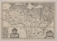
Africæ antiquæ, et quarundam …
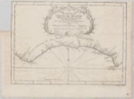
Suite de la coste de Guinée d…
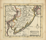
A new map of New Jarsey and P…
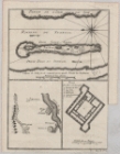
Mouth of the Senegal River an…
No. 1 A map of the lands belo…
Coste d'Afrique et les Isles …
Carte des variations de la bo…
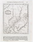
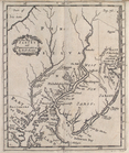
Carte de la Louisiane et pais…
A new map of the English plan…
A new map of Virginia and Mar…
A map of ye English empire in…
A new map of New Jarsey and P…
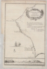
Plan de la Baye de Pensacola …
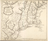
Ville de Manathe ou Nouvelle-…
A map of Florida and ye Great…
A new map of Virginia
Partie occidentale de la Nouv…
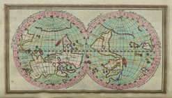
Mappe-monde : dressee pour l'…
Carte de la Louisiane cours d…
Partie orientale du Canada ou…
note:
…, 1540-
1703
, 160
Carte de la Louisiane et des …
Carte de la Louisiane cours d…
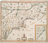
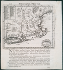
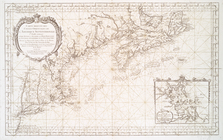
Carte de la Nouvelle Angleter…
A new map of New England and …
A new map of New England and …
Carte de la Nouvelle Angleter…
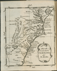
Nouvelle carte de la Caroline
Partie orientale du Canada ou…
note:
…, 1540-
1703
, 159
To the Right Honourable Willi…
A map of ye English Empire in…
Partie orientale du Canada ou…
note:
…, 1540-
1703
, 159
Carte reduite des costes orie…