Click to visit the main New York Public Library Homepage
The New York Public Library
Digital Collections
About Digital Collections
Browse
Search only public domain materials
Items
Collections
Divisions
Home
Search
Browse
About
Search only public domain materials
Items
Collections
Divisions
Digital Collections
Using Images
Using Data
Search
Filtered keyword search
Show filters
Hide filters
Show Only Public Domain
topic
Real property
116
Fire insurance
68
Cities & towns
66
Administrative and political divisions
52
Railroads
32
More
Less
name
Sanborn Map Company
67
United States Coast Survey
23
Bache, A. D. (Alexander Dallas), 1806-1867
18
G.W. Bromley & Co
10
Rand McNally and Company
10
More
Less
collection
Maps of North America
166
Atlases of New York City
85
Maps of New York City and State
70
Lawrence H. Slaughter Collection of English maps, charts, globes, books and atlases
29
I. N. Phelps Stokes Collection of American Historical Prints
11
More
Less
place
New York (State)
145
New York (N.Y.)
37
New York
35
United States
25
Manhattan (New York, N.Y.)
22
More
Less
genre
Maps
381
Cadastral maps
23
Nautical charts
12
Prints
12
Topographic maps
10
More
Less
publisher
Sanborn Map Company
68
publisher not identified
20
U.S. Coast Survey
12
G.W. Bromley & Co
9
U.S. Coast Survey Office
7
More
Less
division
Map Division
367
Wallach Division: Print Collection
12
Schomburg Jean Blackwell Hutson Research and Reference Division
2
Wallach Division: Picture Collection
1
type
x
cartographic
still image
14
text
8
Date Range
to
383 results found for:
x
54
Filtering on:
x
Type
: cartographic
Sort by:
Relevance
Title
Date created
Date digitized
Sequence
Map showing the Adirondack La…
Colton's Road map of Sullivan…
Map of the town of Roxbury
Lewis County.
Preliminary chart of Calibogu…
The Graphic map of South-Cent…
Allen's outline map of Ottumw…
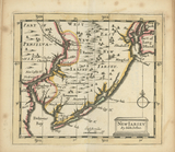
A mapp of New Jersey in Ameri…
A map of the State of New York
A map of the State of New York
Czechoslovakia
Map of England and Wales
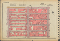
Plate
54
, Part of Section 3
Plate
54
m
Map of Manhattan, City of New…
Map of the village at Little …
first:
5e
54
e220-e550-0133-59fd-00505686a51c
Long Island: an interpretive …
Hempstead, Long Island, N.Y.
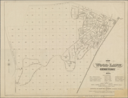
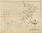
Map of the Wood Lawn Cemetery…
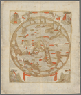
Kniga glagolema︠i︡a kosmograf…
parent:
56603cd0-7cf3-0138-2442-273b
54
d27b3b
Sheet No.
54
. [Includes Mill Road, Sea
Plate
54
, Part of Section 3
Bronx, V. A, Plate No.
54
[Map bounded
Bronx, V. B, Plate No.
54
[Map bounded
Map of the Wood Lawn Cemetery…
Map of Cape Cod and vicinity
New Iarsey
m
A map of the most inhabited p…
note:
NYPL copy divided into 2 sheets of
54
x 100
Fragment of a map, covering p…
Jamaica Park and Bussey Farm …
Circuli Supe. Saxoniae Pars M…
Map of borough of Richmond
Plate
54
, Part of Section 3
Brighton park: Brighton distr…
Stannard and Son's perspectiv…
Jamaica, Long Island, N.Y
Map of York River, Virginia :…
Transportation routes between…
East Florida : from surveys m…
Kaart van Nieuw Nederland: be…
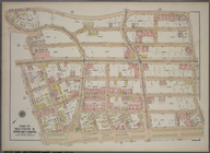
Map of the City of New York. …
Map of the city of Washington
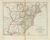
Map of the United States of A…
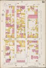
Plate
54
, Part of Section 11, Borough
first:
510d47e2-
54
c1-a3d9-e040-e00a18064a99
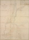
Map of the Harbor of New York…
m
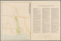
Upper Nyack
Brooklyn V. 2, Plate No.
54
[Map
Brooklyn Vol. A Plate No.
54
[Map
Brooklyn Plate No.
54
[Map bounded
Brooklyn V. 5, Plate No.
54
[Map
1
2
Previous
Next
1
2
Previous
Next